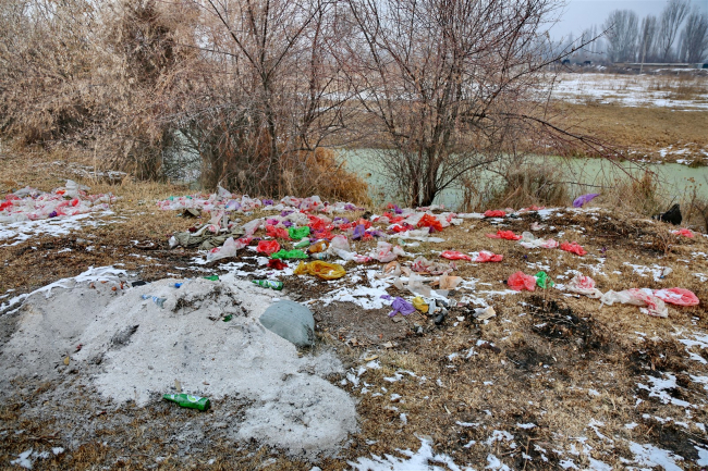
Tailings Storage Facility No. 1 of the Ak-Tyuz Mining Administration
42° 52’30” N; 76° 08’40” E Object name: Tailings Storage Facility No. 1 of the Ak-Tyuz Mining Administration Ownership (owner) of the object: Ministry of Emergency Situations of the Kyrgyz Republic Location of the object: slope of the left bank of the Kichi-Kemin River valley Region: Chui City (settlement): settlement of Ak-Tyuz Geographic coordinates of the object or settlement: Elevation (m): 2140 Period of operation and conservation: 1942 - 1955, conserved in 1956 Current technical condition