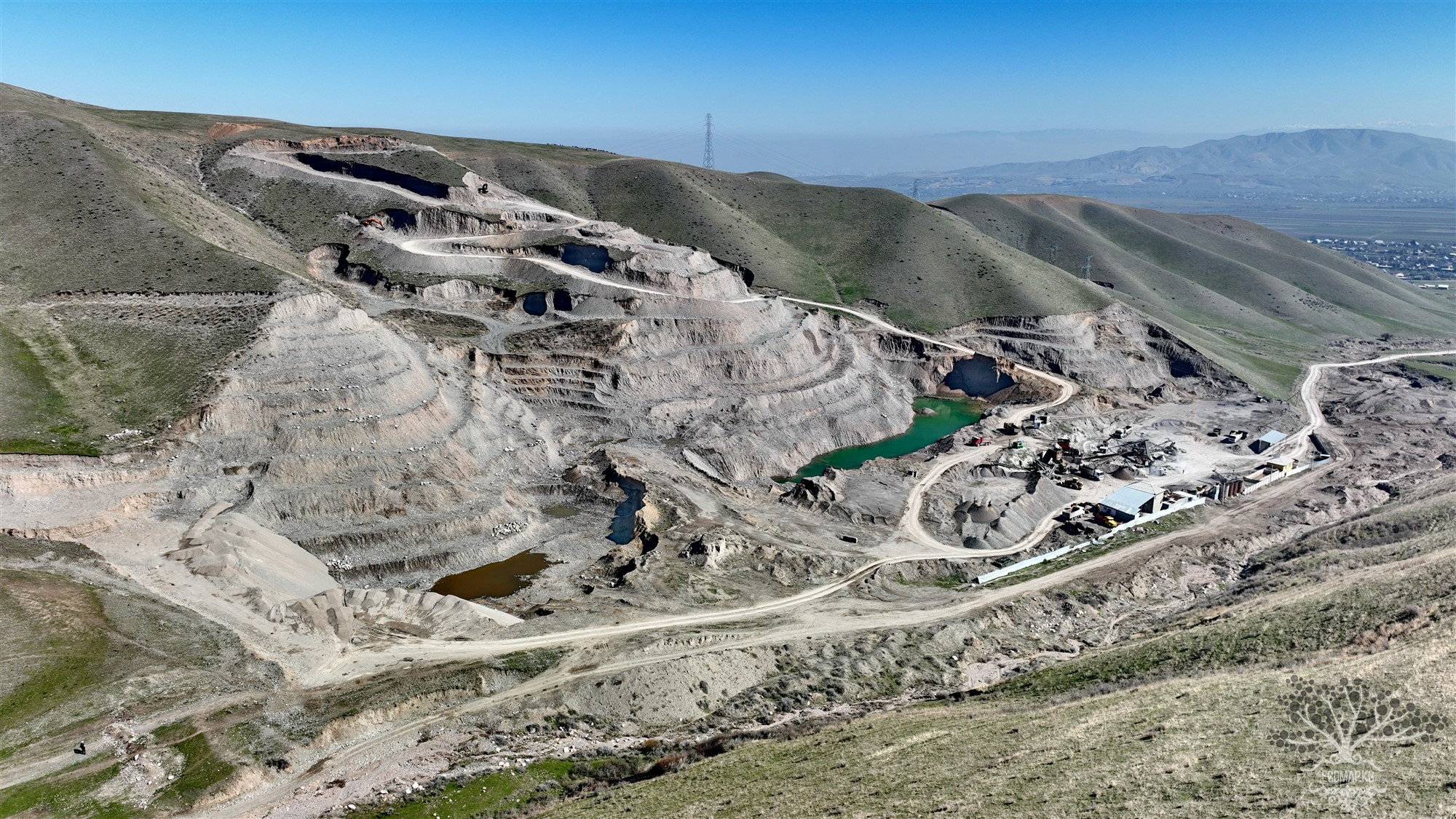
Tailings Storage of the Bourdinskii Mine. Settlement of Kashka


Ownership (owner) of the facility: Ministry of Emergency Situations of the Kyrgyz Republic
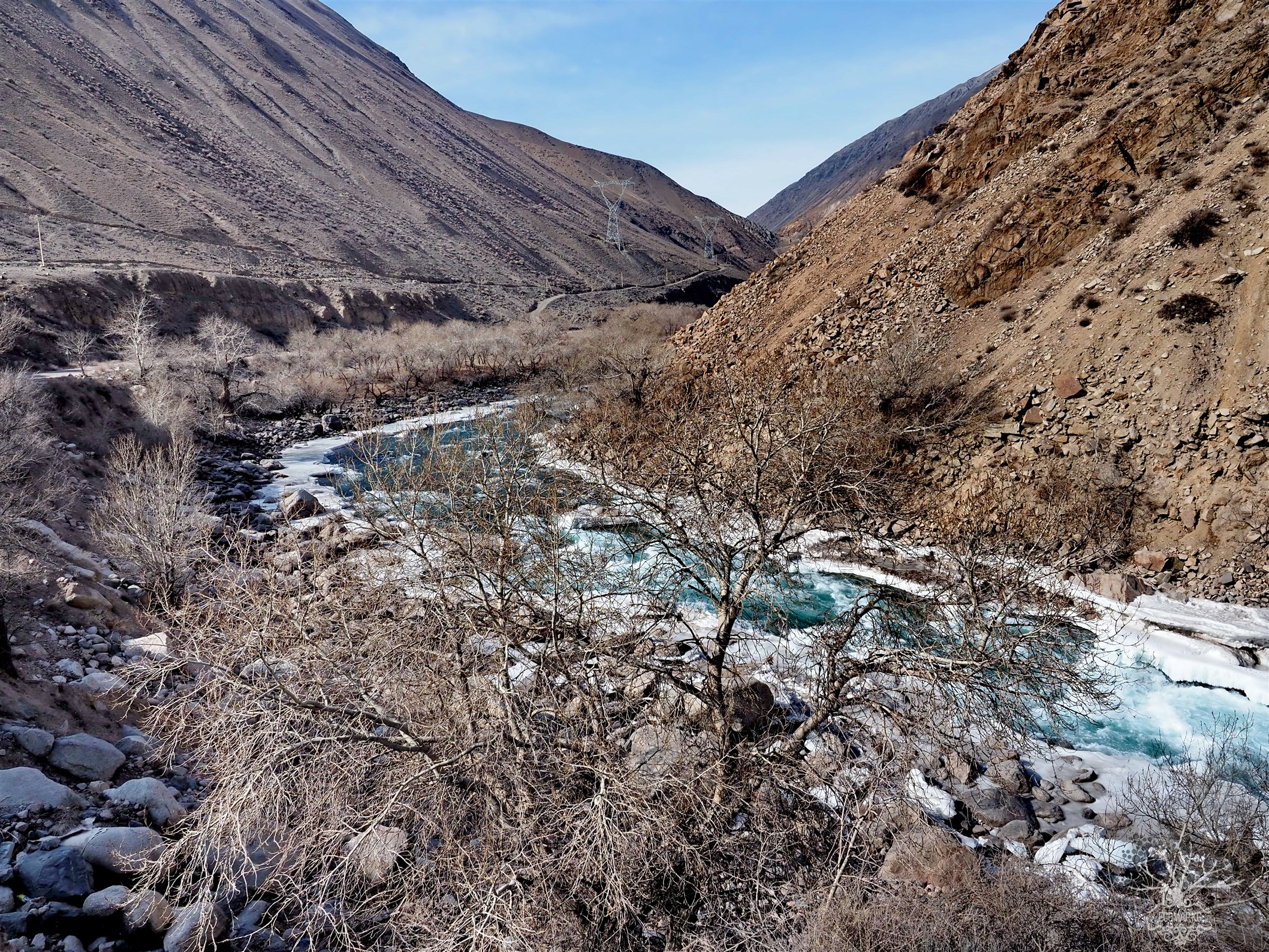
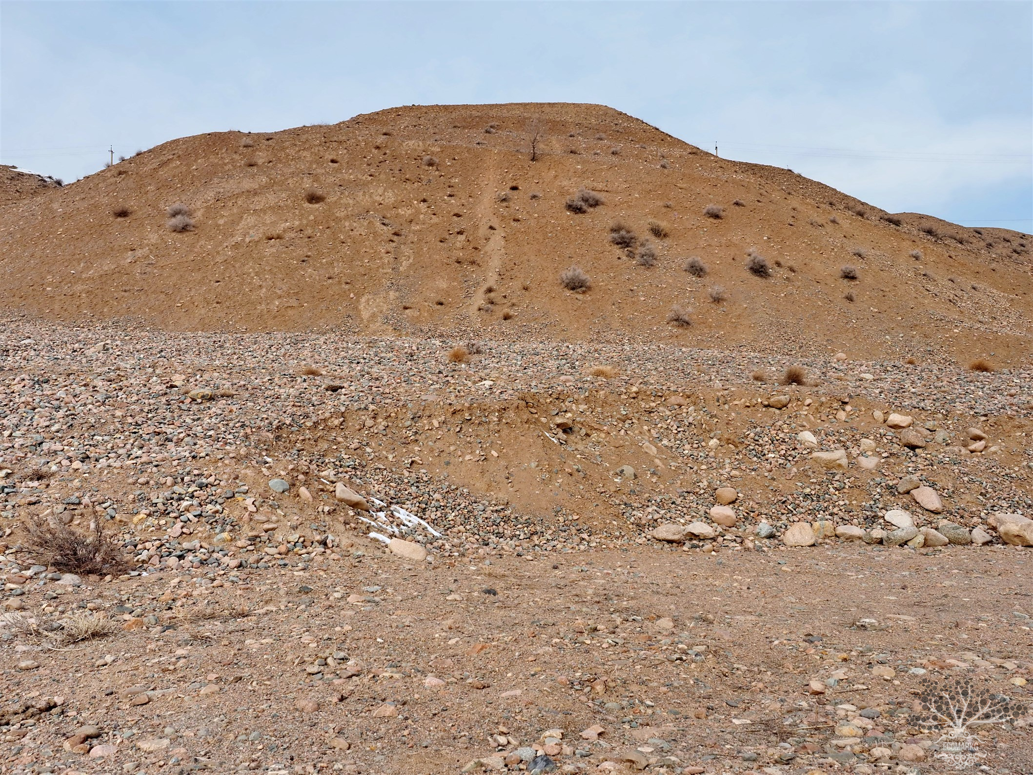
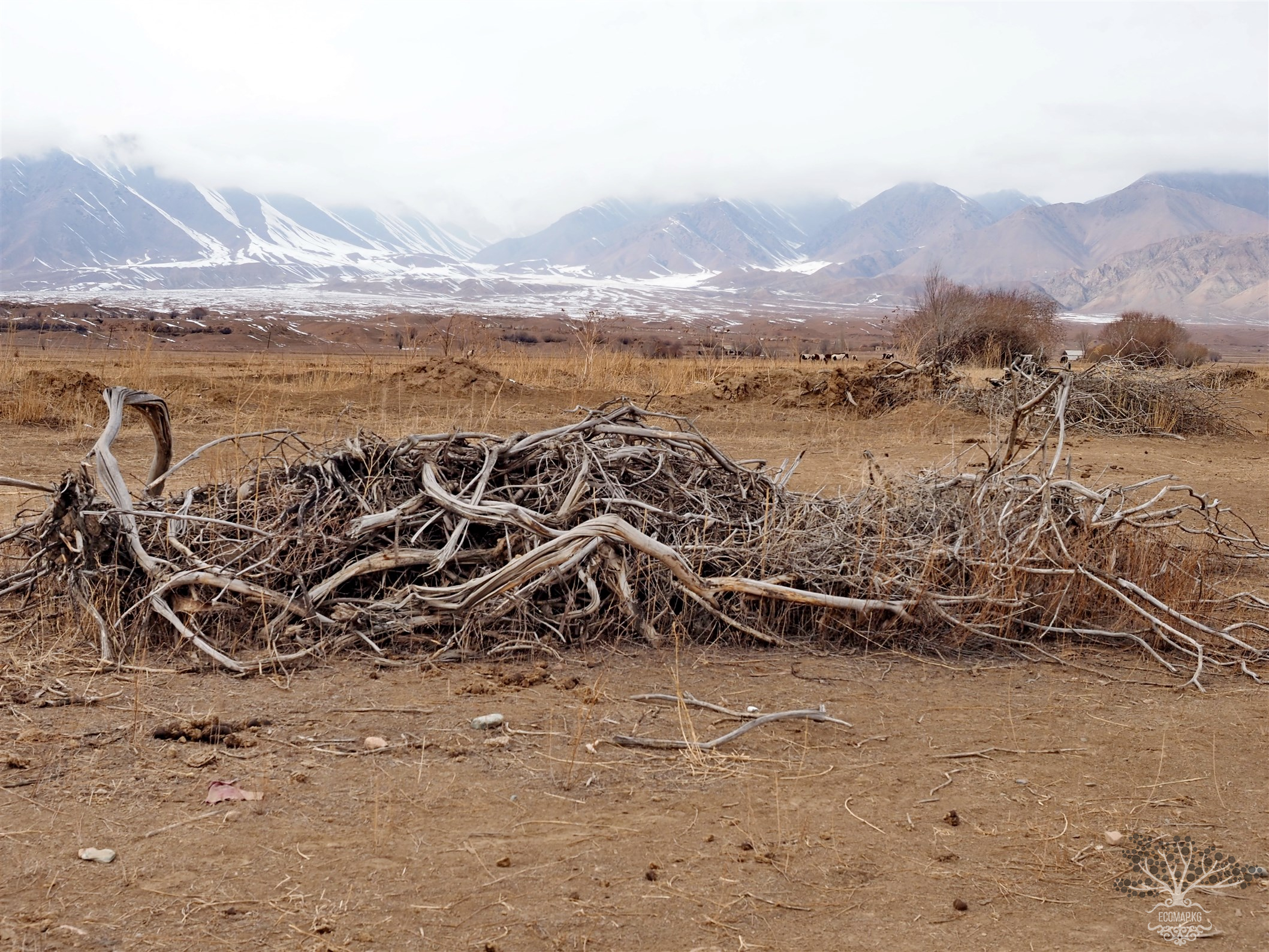
Location of the facility: floodplain of the Berkut River
Region: Chui
City (settlement): settlement of Kashka
Geographical coordinates of the facility or settlement:
Elevation (m): 1100
Period of operation and conservation: 1954-1966, conserved in 1967
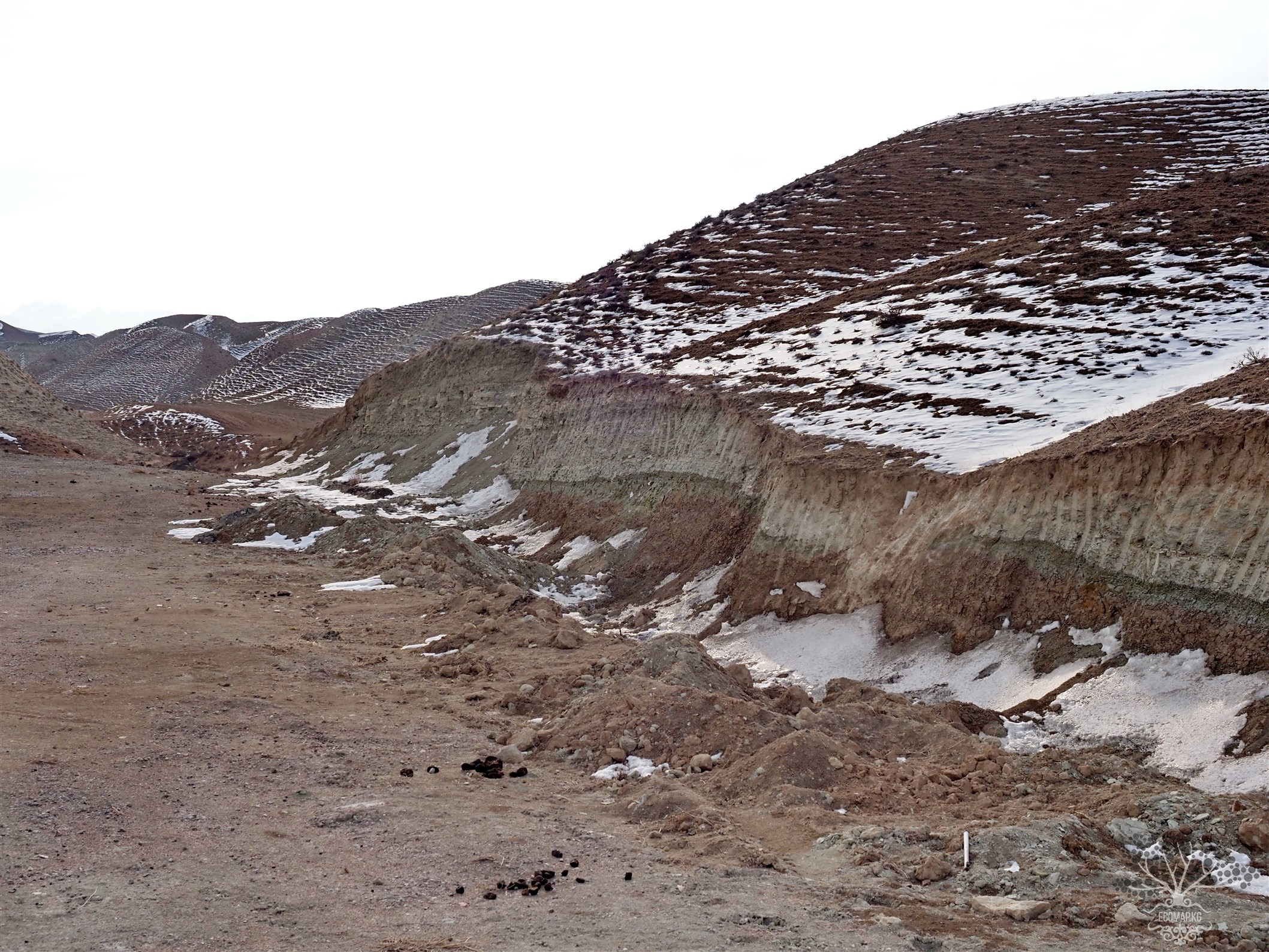
Characteristics of the facility: tailings storage of ravine-beam type
Volume of waste (thousand m3): 3500 Area (thousand m2): no data
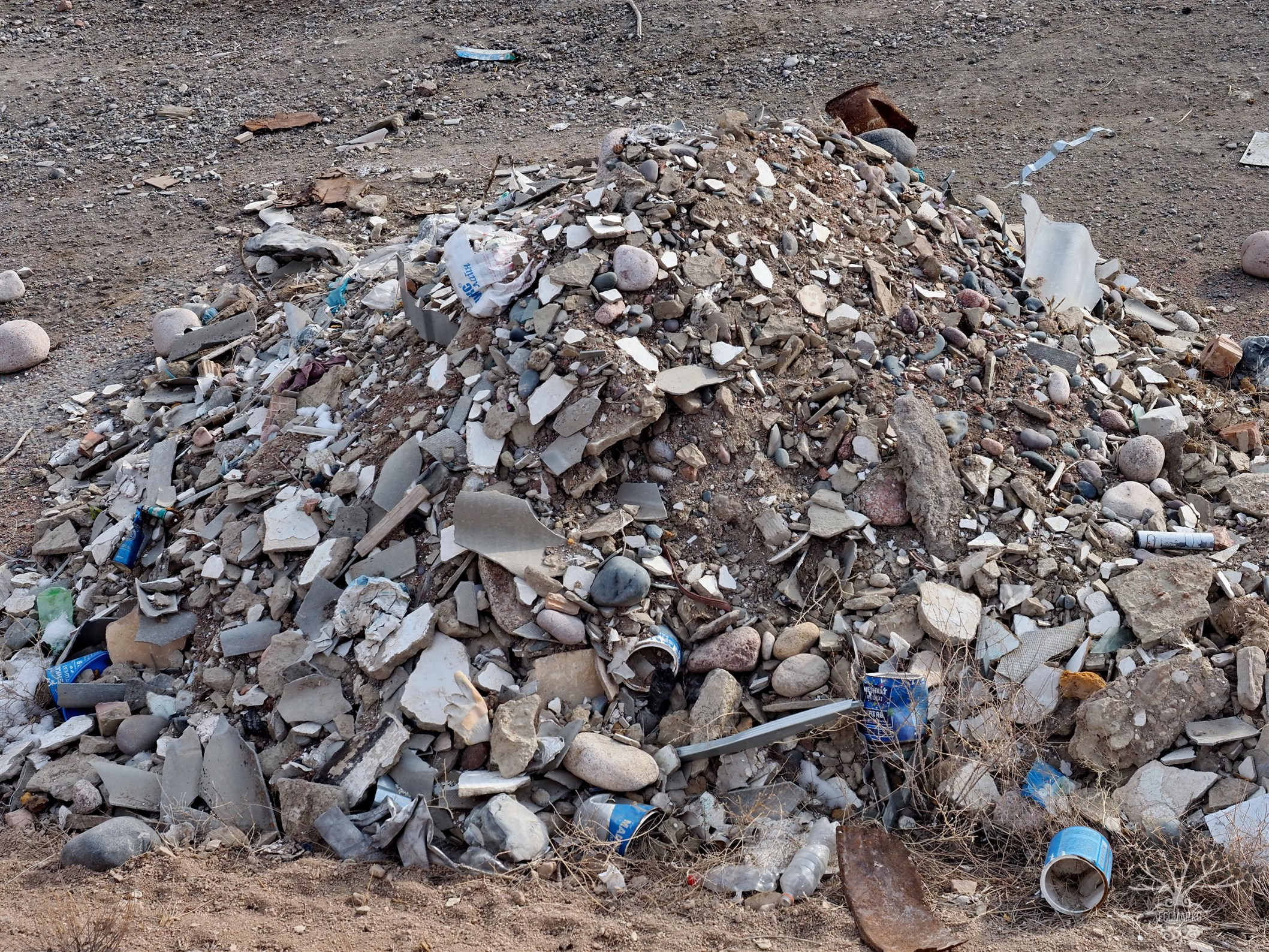
Type and kinds of waste: tailings from the enrichment of lead ores
Chemical composition of waste: no data.
Impact of waste on the environment and population: contamination with heavy metals of groundwater and surface waters of the Taldy-Bulak River.
Radiation characteristics (Exposure dose rate (EDR) of gamma radiation at the surface, radon, activity, etc.): not radioactive.
Vulnerability of the facility to hazardous natural processes, natural disasters: threat of mudflow impacts, landslides.
Transboundary impact of the facility: in catastrophic mudflows, possible contamination of the Berkut River - a tributary of the transboundary Chu River.
Recommendations for ensuring safety and/or rehabilitation of the facility: annual maintenance of the facility and protective structures, environmental monitoring and monitoring of the facility.


Attention: Information based on submitted complaints