Destruction of Floodplain Forests. Boom Gorge

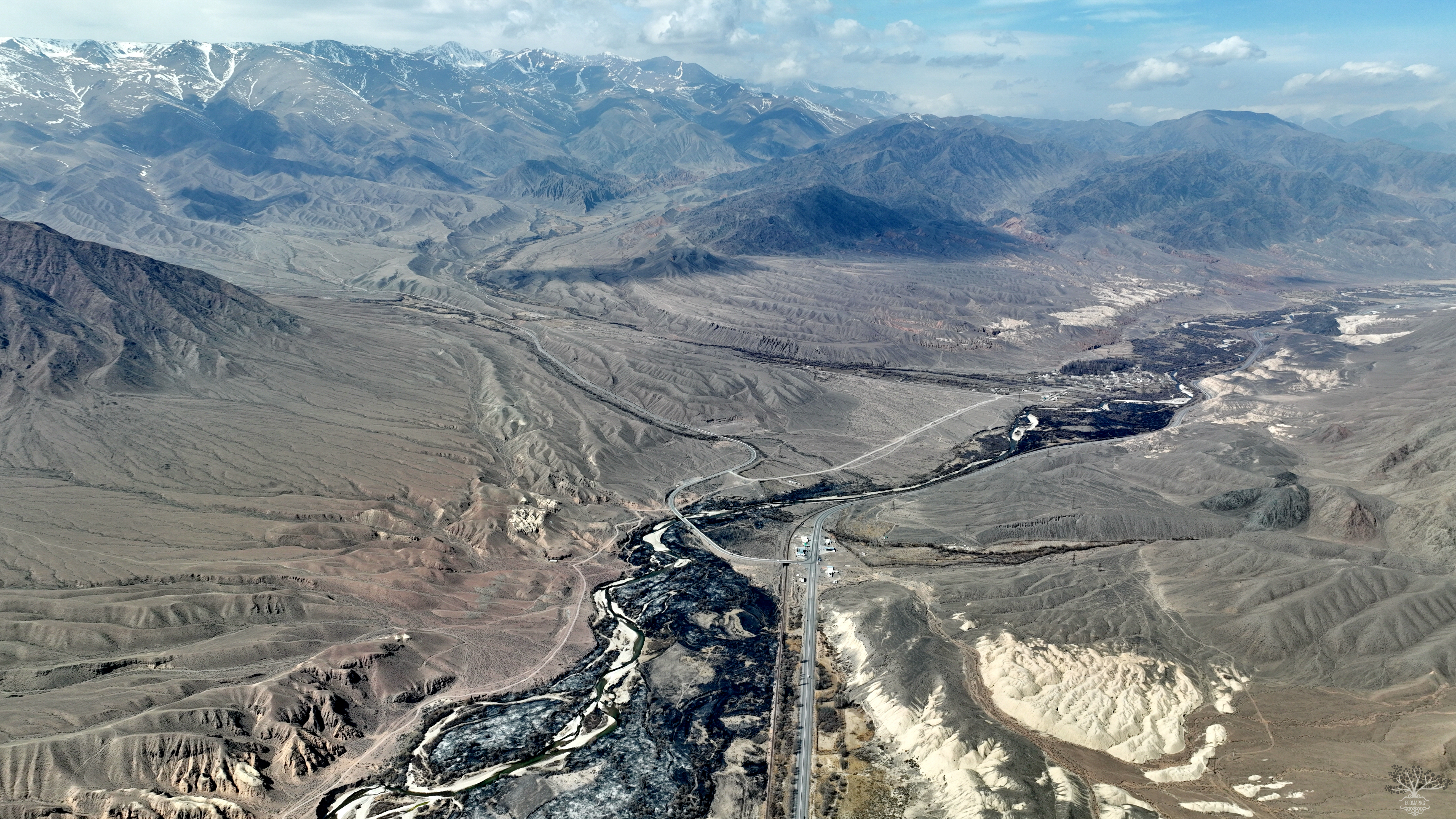
Coordinates: 42.506805, 75.831476 The mountain forests of the Tien Shan have a significant impact on the water supply of transboundary rivers. Growing on the slopes of mountains and river floodplains, they influence the formation of air masses in the lower layers of the atmosphere, humidity, air and soil temperature, wind patterns, precipitation accumulation, and its distribution across the territory, creating what is known as a mesoclimate. The forests help prevent mudflows, hinder the

Kumtor Gold Mine

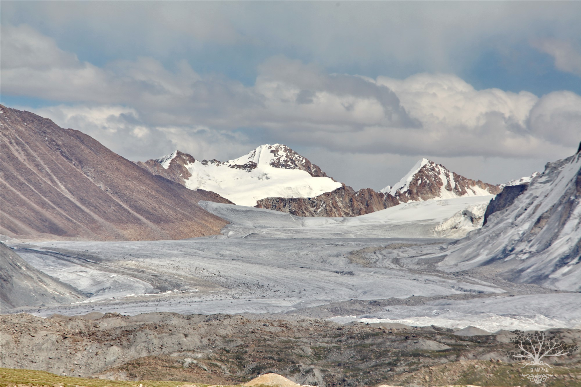
Coordinates: 41.853630, 78.195276 Located at an altitude of over 4000 meters in the heart of the Tien Shan, the Kumtor mine is considered the eighth largest gold deposit in the world. As a result of an agreement between the government of Kyrgyzstan and Cameco Corporation (a Canadian company), Kumtor Operating Company (KOC) is engaged in gold mining. Since then, KOC has been renamed Centerra Gold. Mining began in 1996 and has never ceased. While working with Kumtor, Centerra focused on the

River Urmaral. Destruction of the Floodplain Forest

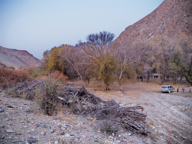
71°57’46″E 42°21’33″N After the suspension of gold mining at the mouth of the Urmaral River by the company "Polyus Gold KG," proper reclamation of the deposit was not carried out, which originally included the complete restoration of the quarry to its original state, including the restoration of the biological soil layer and the planting of trees. The company "Polyus Gold KG" received a license for geological exploration of the Urmaral deposit in the spring of 2017. Over the

Продолжая просматривать сайт ecomap.kg вы принимаете правила сайта.
ОК