Kumtor Gold Mine
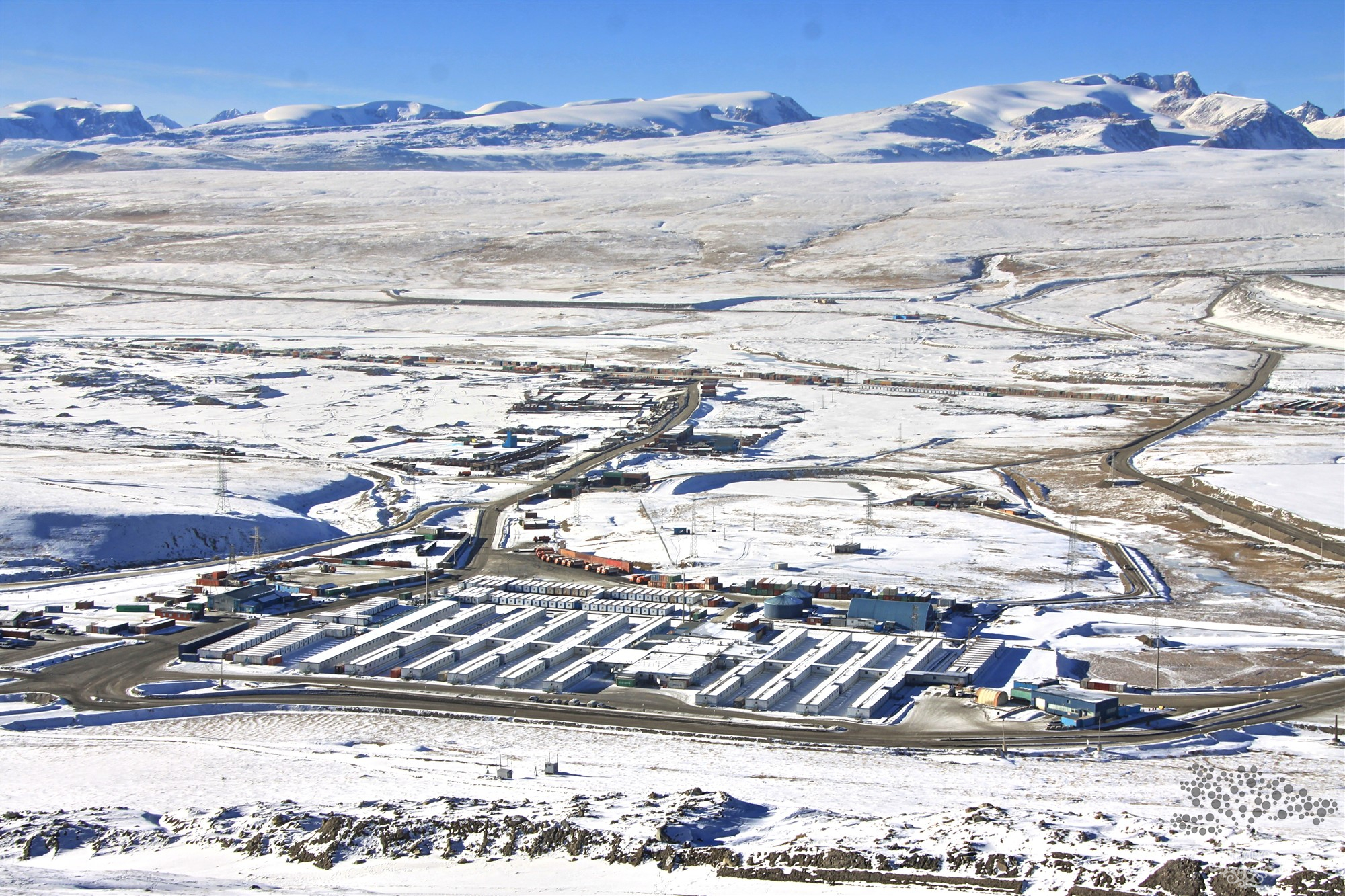
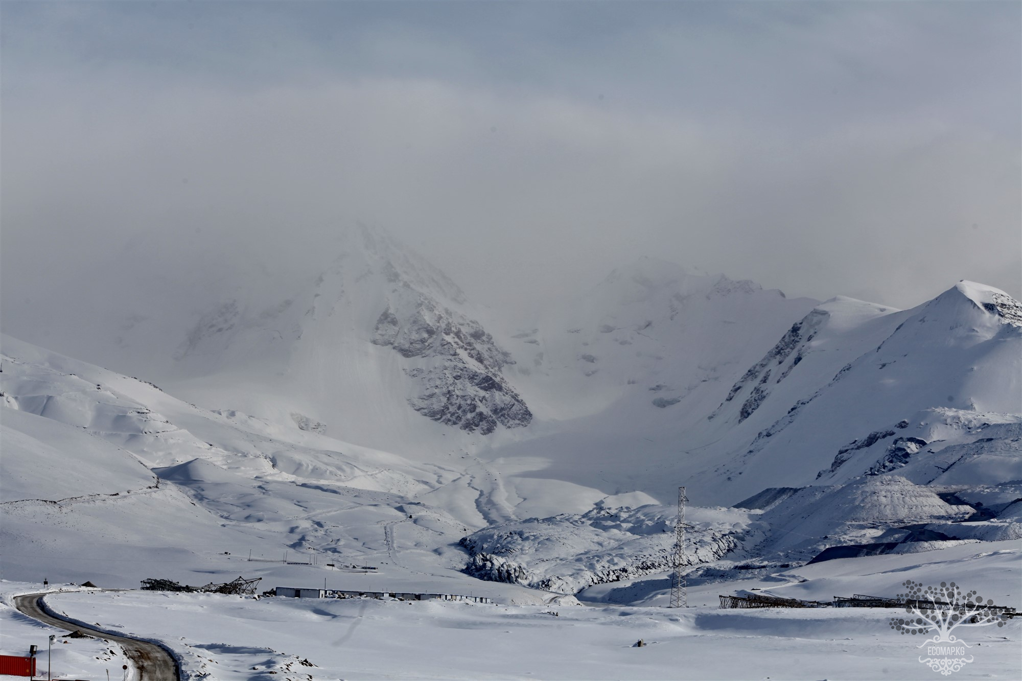
Located at an altitude of over 4000 meters in the heart of the Tien Shan, the Kumtor mine is considered the eighth largest gold deposit in the world. As a result of an agreement between the government of Kyrgyzstan and Cameco Corporation (a Canadian company), Kumtor Operating Company (KOC) is engaged in gold mining. Since then, KOC has been renamed Centerra Gold. Mining began in 1996 and has never ceased. While working with Kumtor, Centerra focused on the remaining reserves. Three to four years ago, the company believed it would operate until 2026. Then geological surveys were conducted, adding another five years to this timeline, planning operations until 2031.
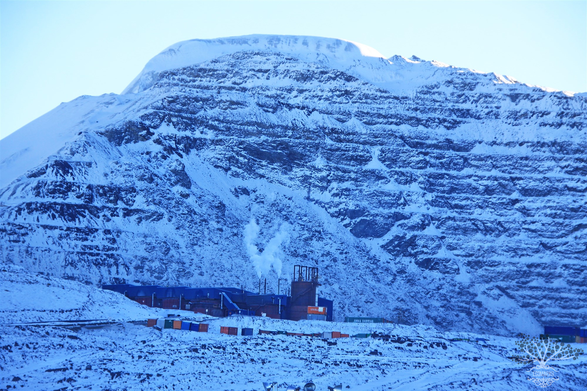
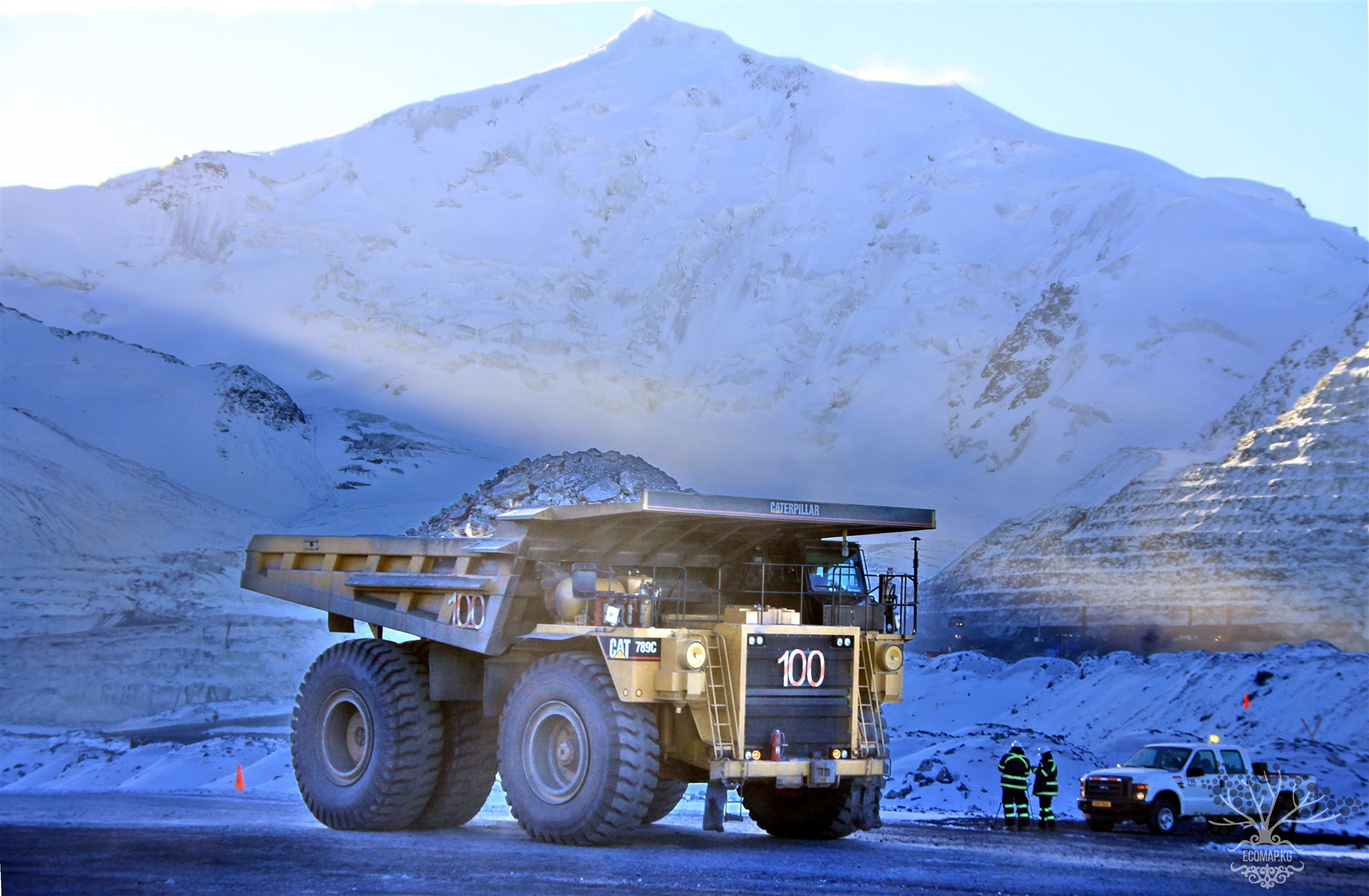
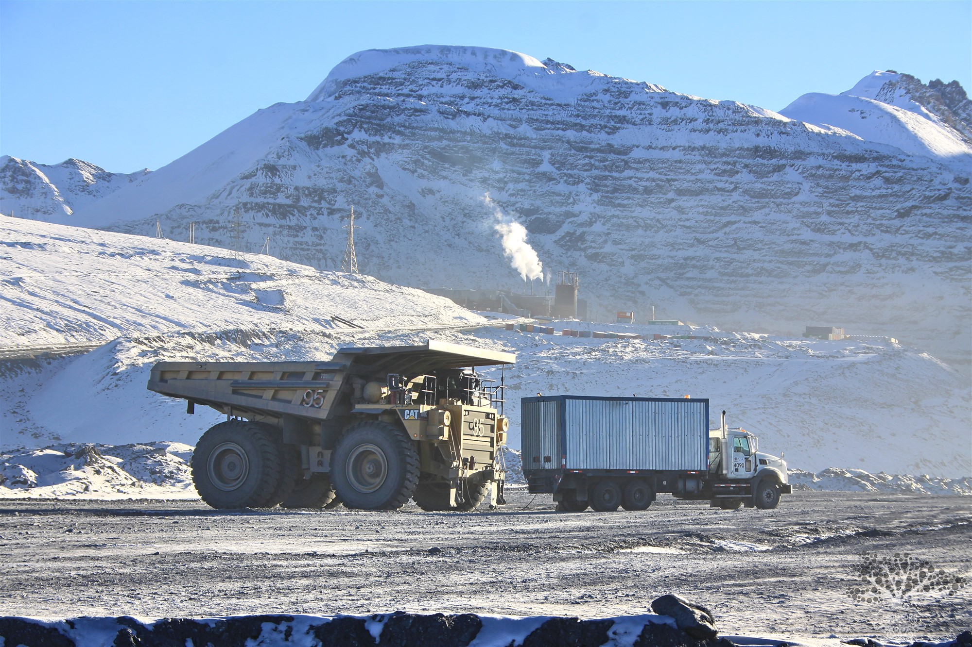
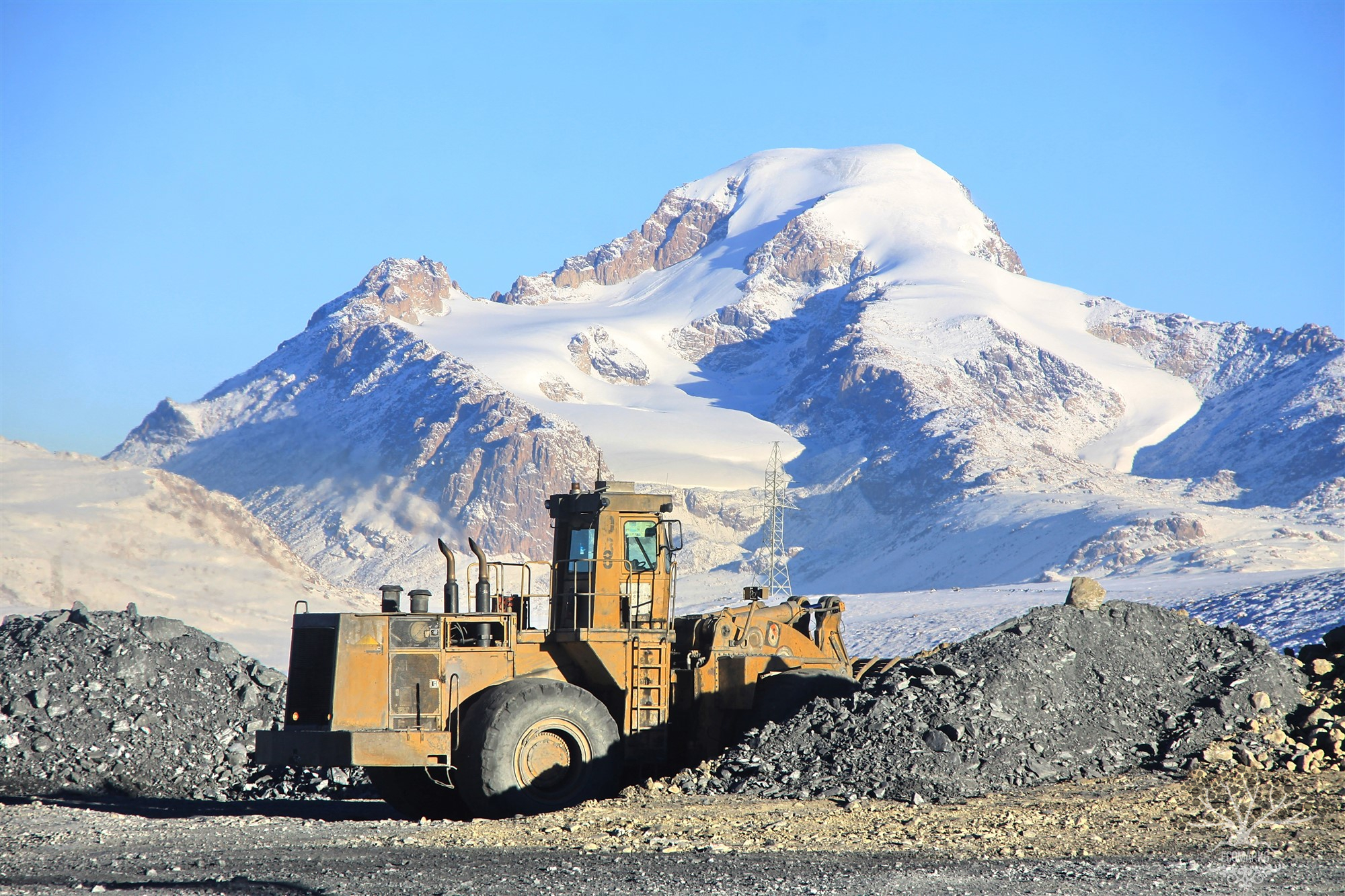
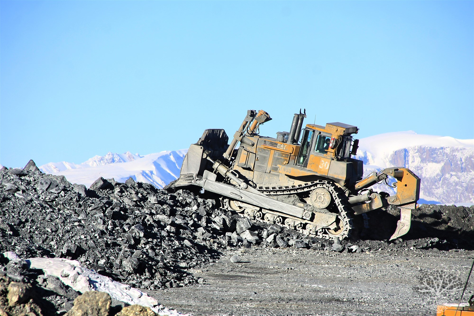
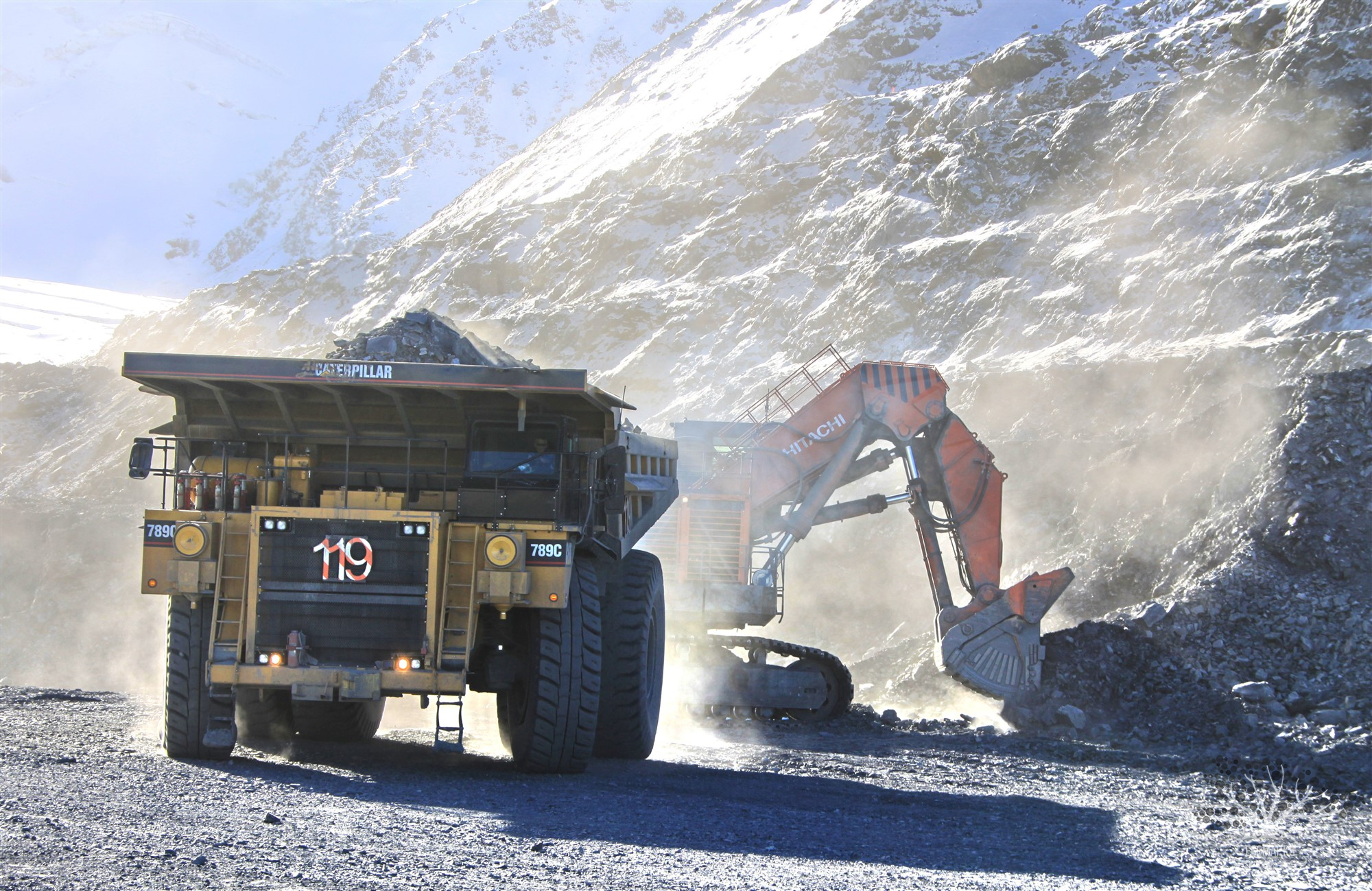
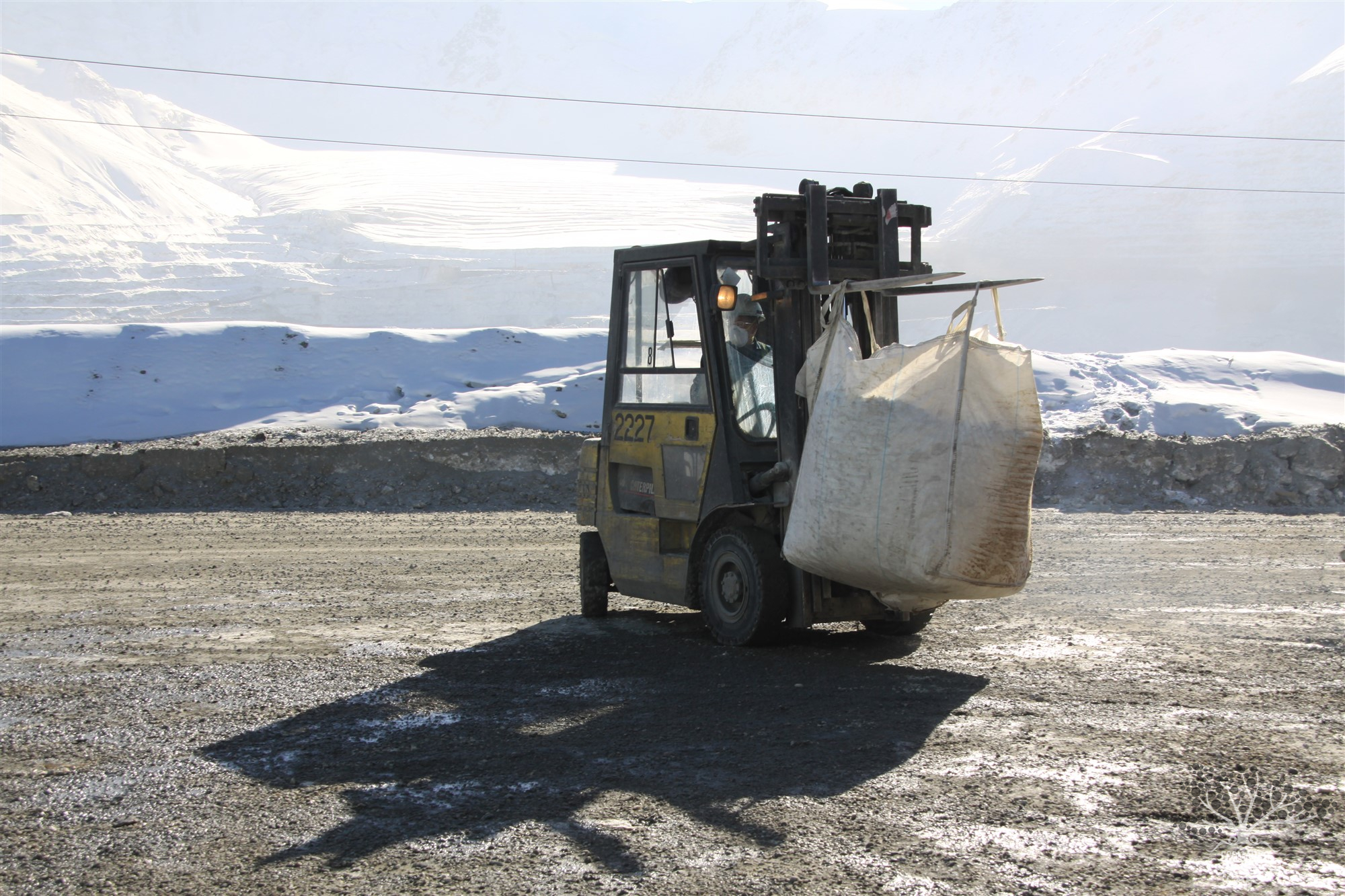
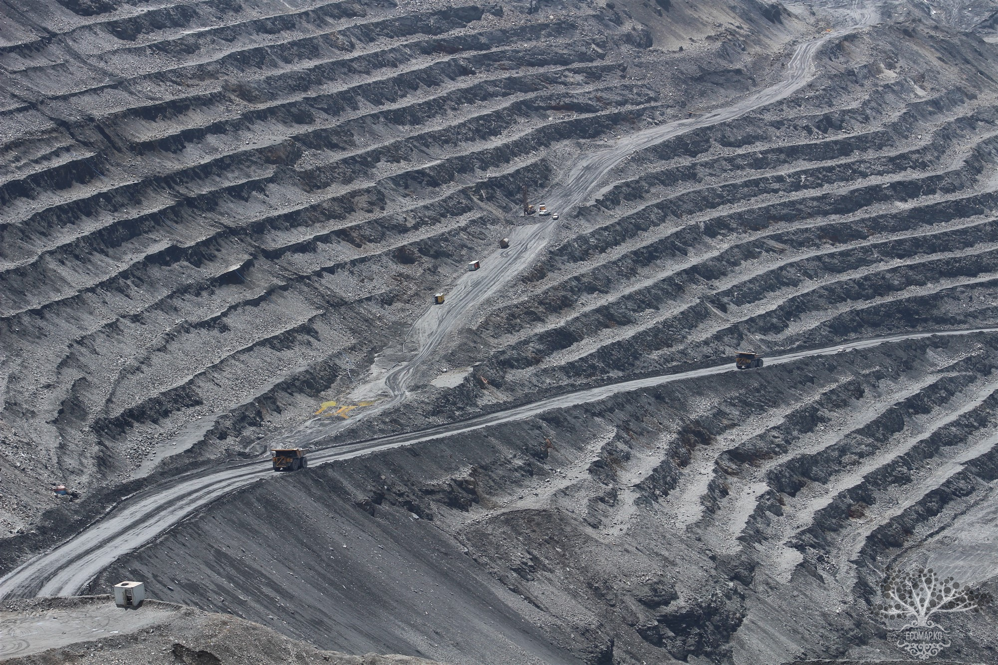
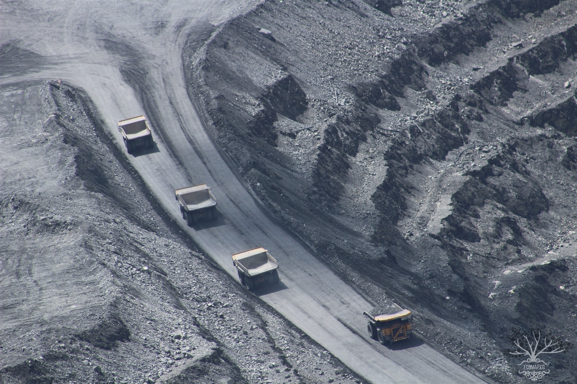
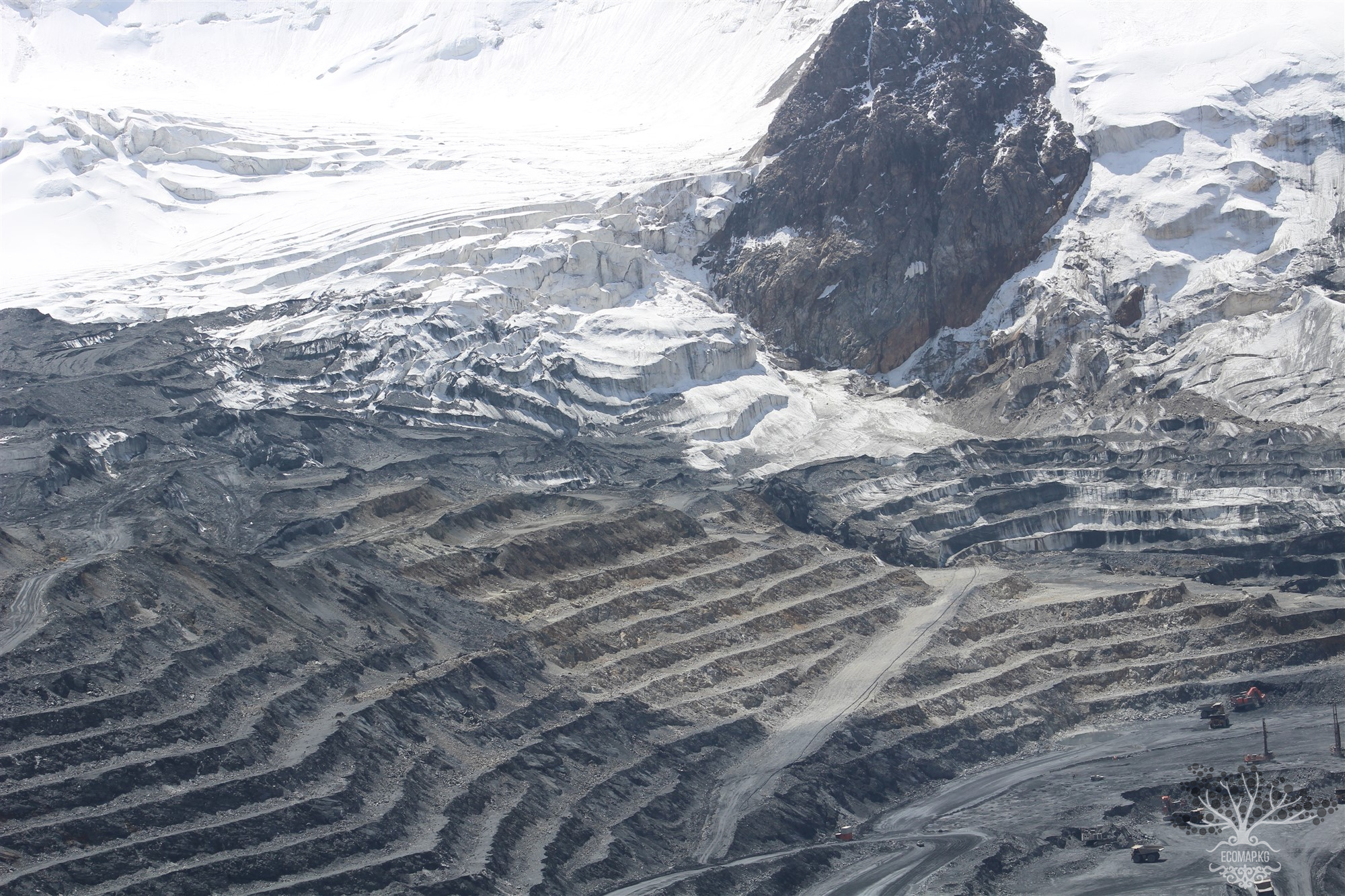
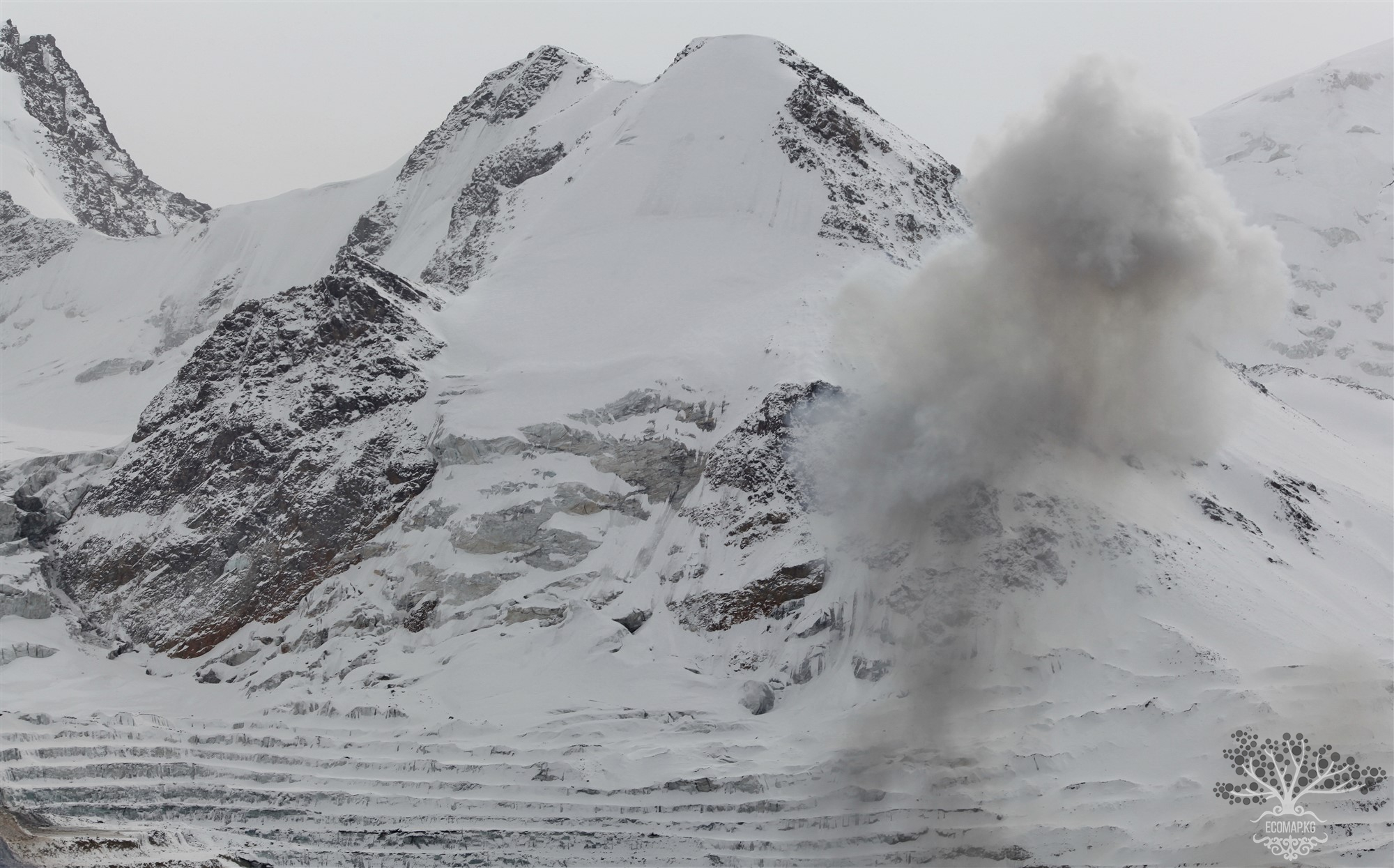
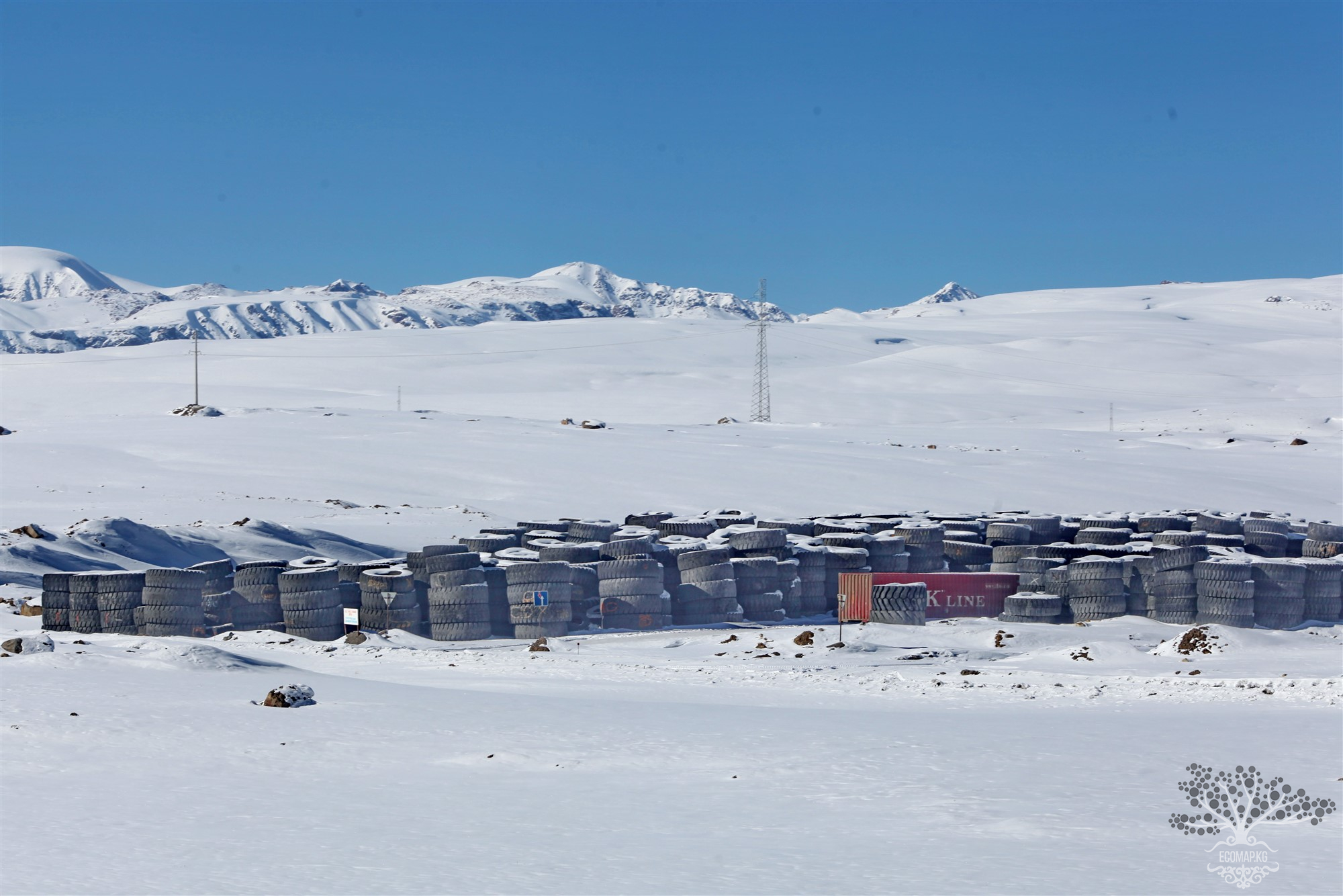
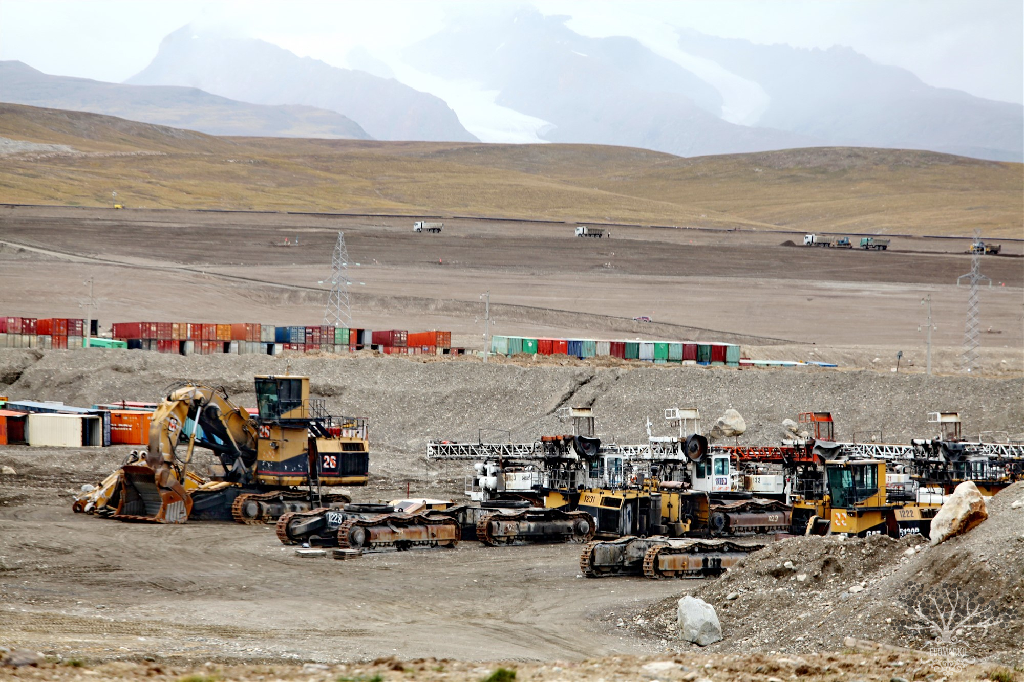
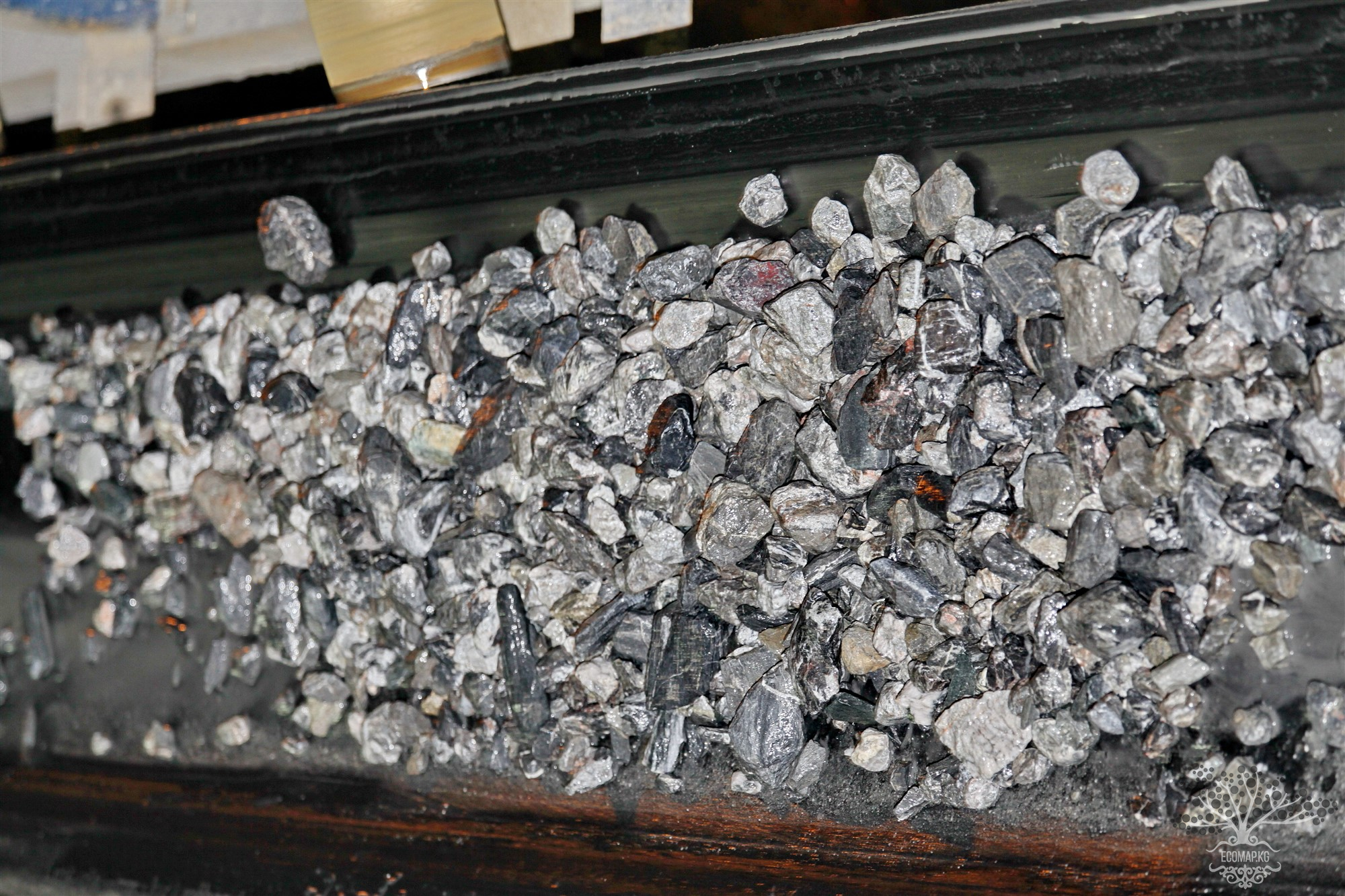
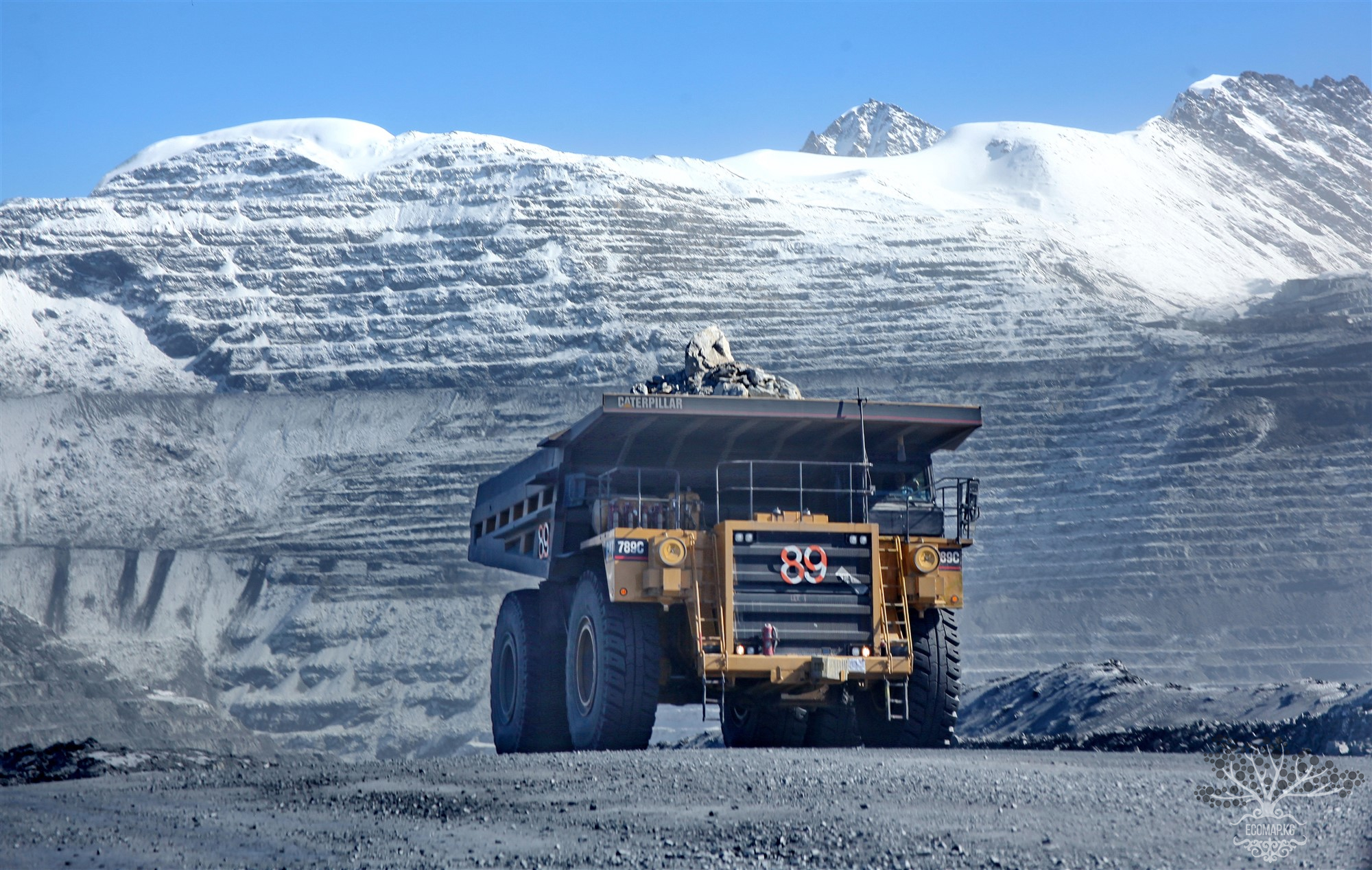
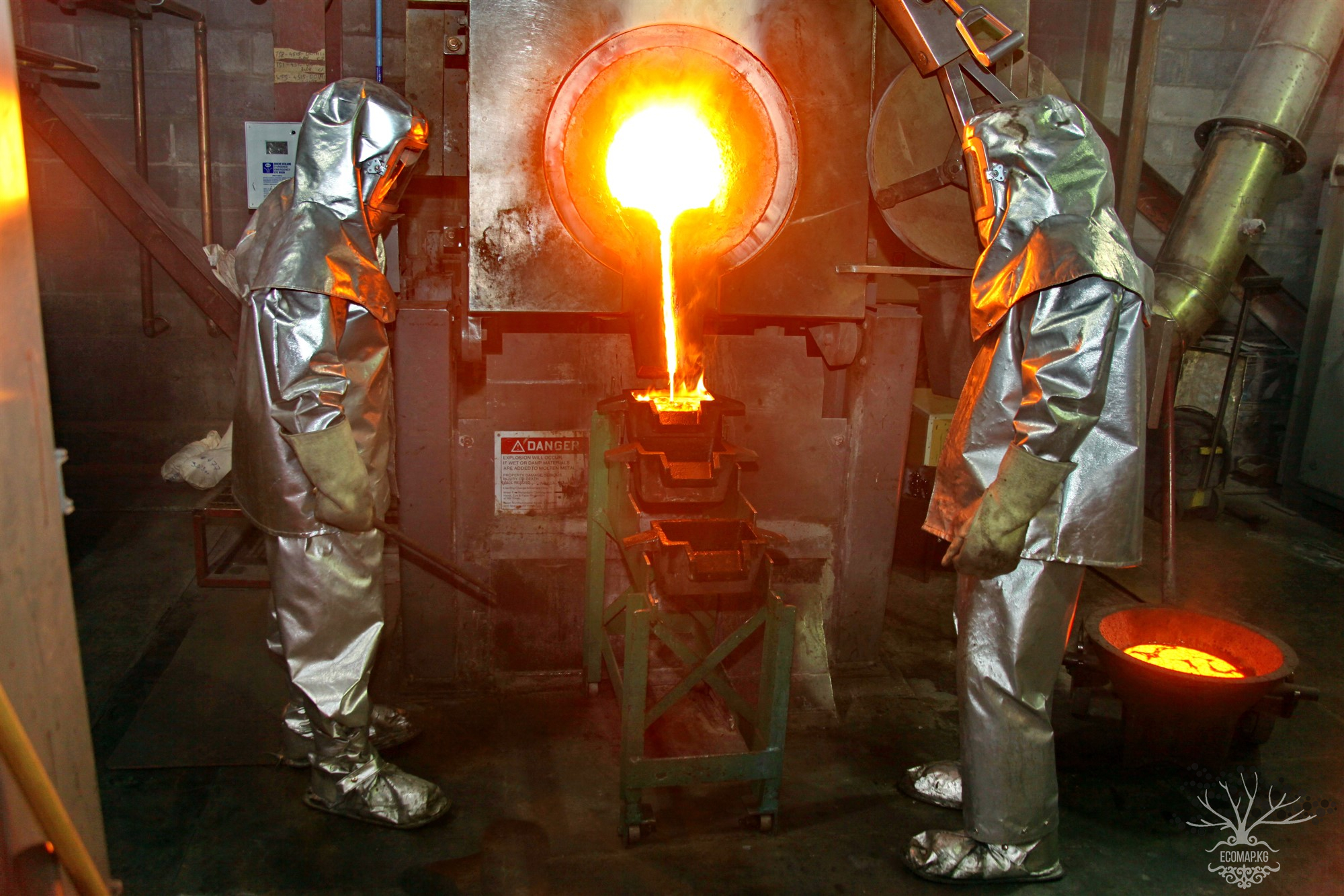
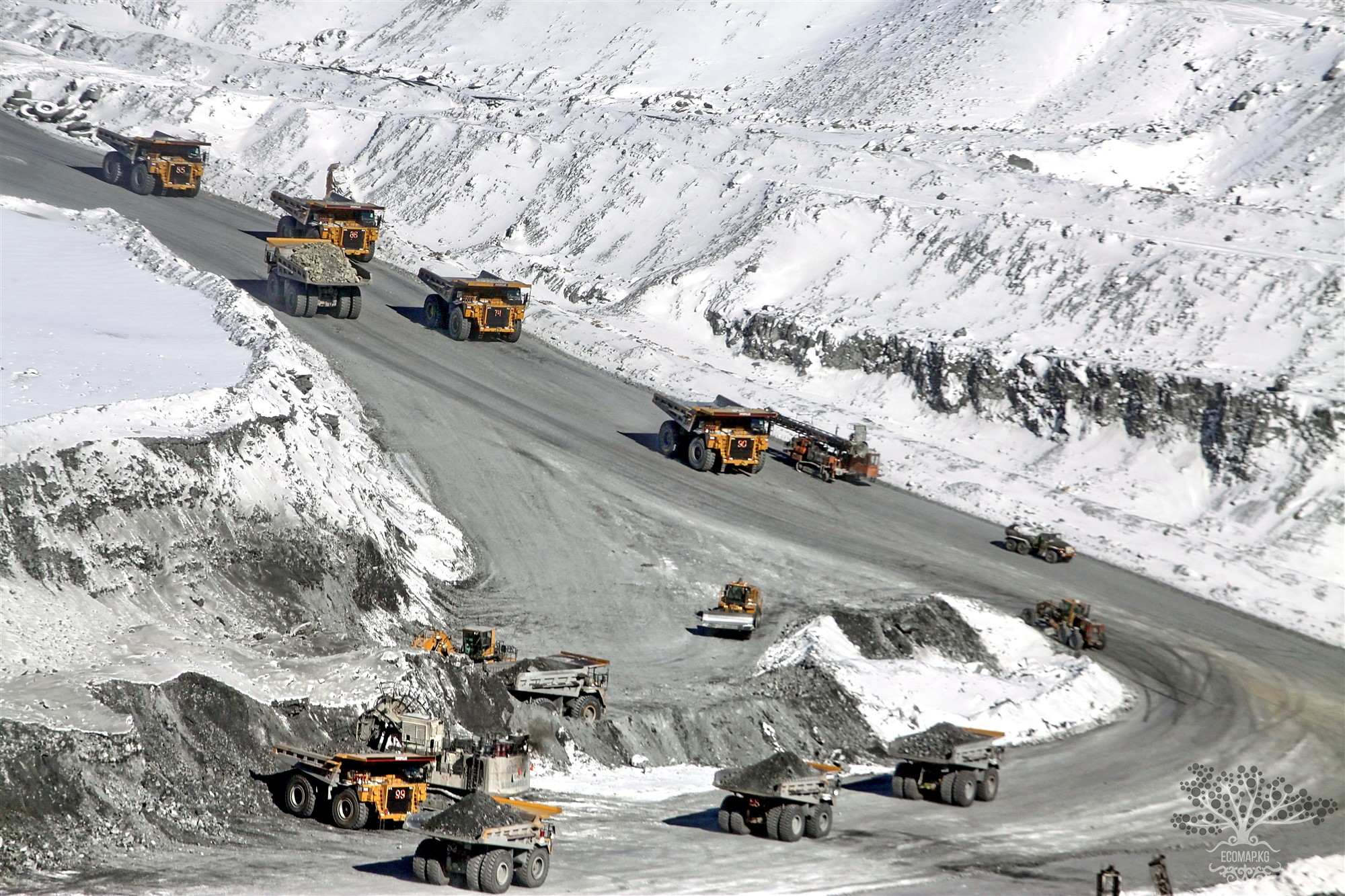
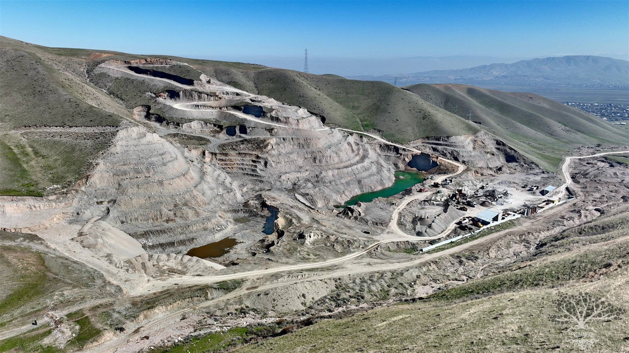
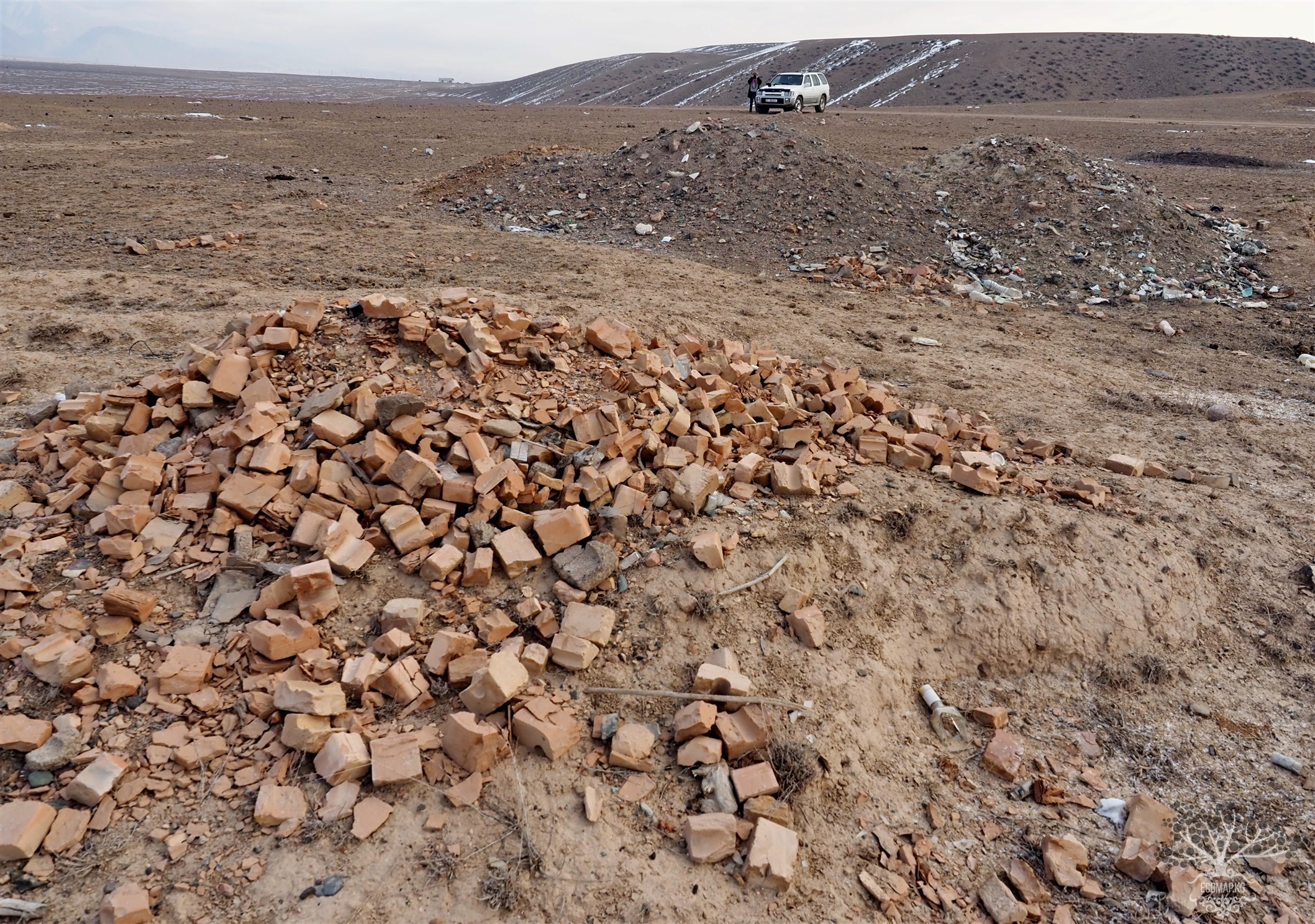
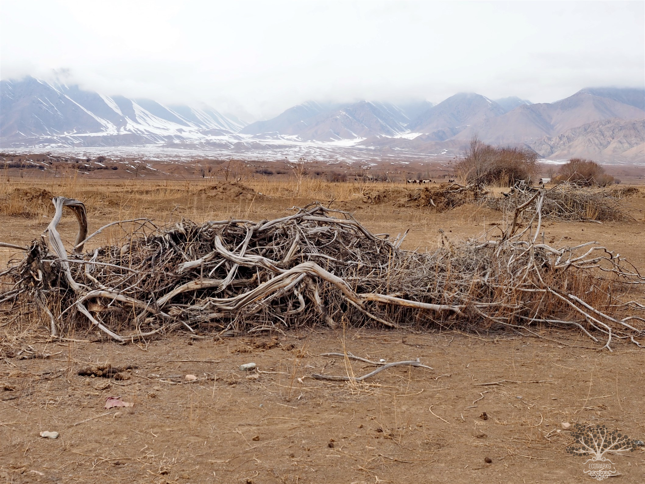
The main economic issue for Kyrgyzstan is that the activities of the mining company represent a first-order environmental threat at both the national and regional local levels (Central Asia). As of today, the deposit has been operating under external management for almost several years, with the Canadians having left the mine. The method of gold extraction has not changed – it is mined using open-pit methods, with almost 16-17 tons of explosives used in each blast, and dust is released onto the mine site, including onto glaciers.
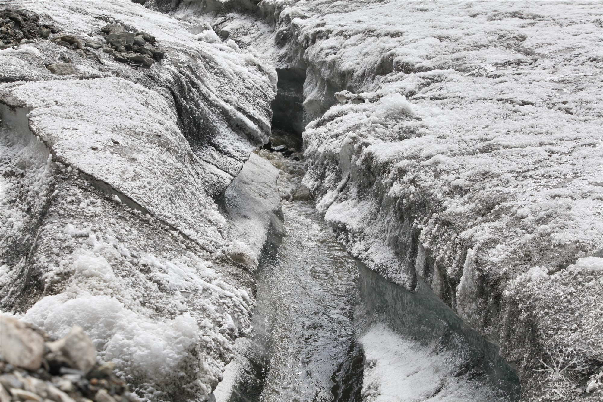
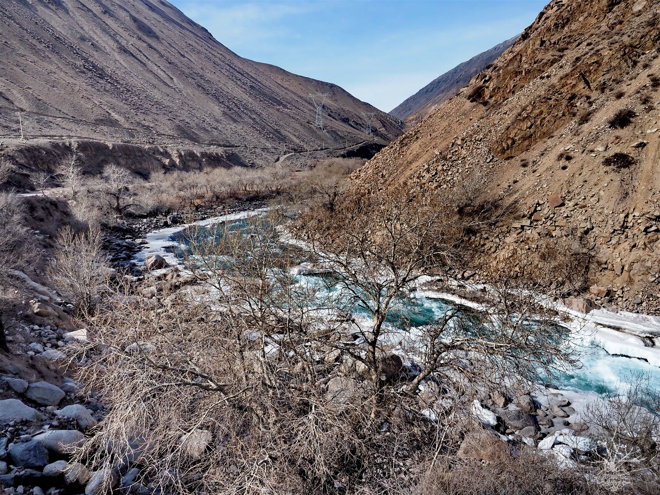
Industrial discharges from dumps and quarry water, which are the most common polluted products of the deposit development, pose a serious threat of surface water pollution in the Kumtor river basin – Naryn and can cause irreversible ecological damage to water resources. The reclamation of the deposit may require tens of times more funds than were originally allocated.
Overall, Kumtor produces several types of pollution, ecological degradation, and danger that have various consequences both spatially and temporally. At the same time, there are significant structural contaminations and pollution that contributes to ecological risk, which can be characterized as an "event." Finally, gold mining by Kumtor increases the burden on water resources, polluting them, which has sanitary, social, and even geopolitical consequences. Let us consider the current mining and environmental practices based on materials from an audit by the international company "AMEC Earth & Environmental UK Ltd" - "Assessment of Environmental and Mining Engineering Risks of the Kumtor Gold Mining Project."
The implementation of the project began:
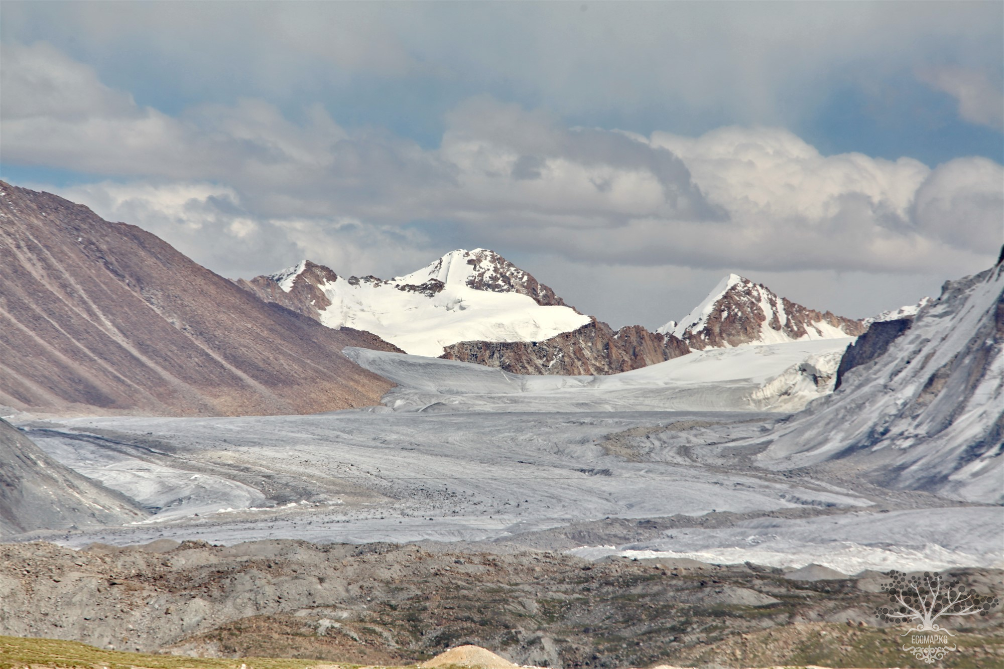
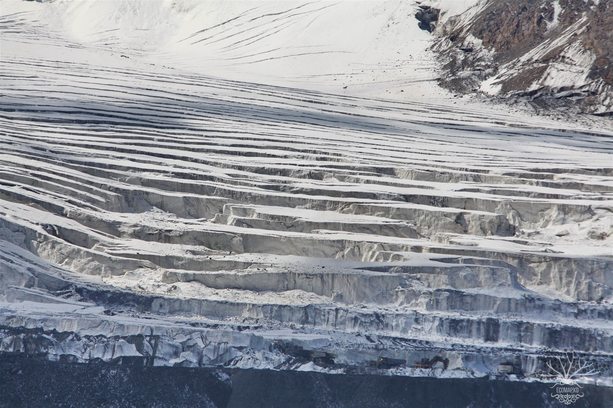
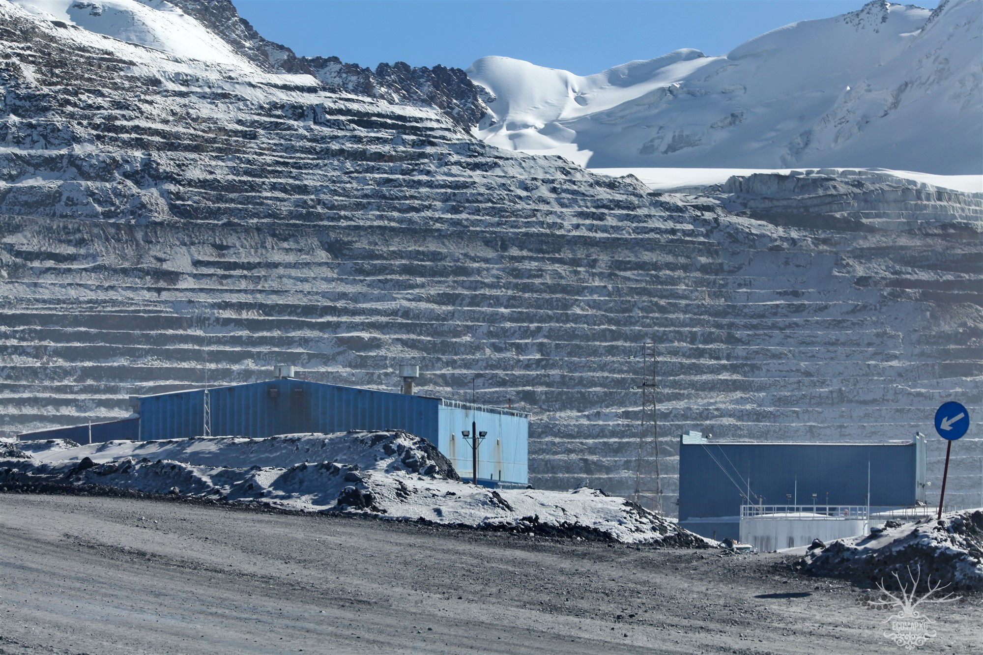
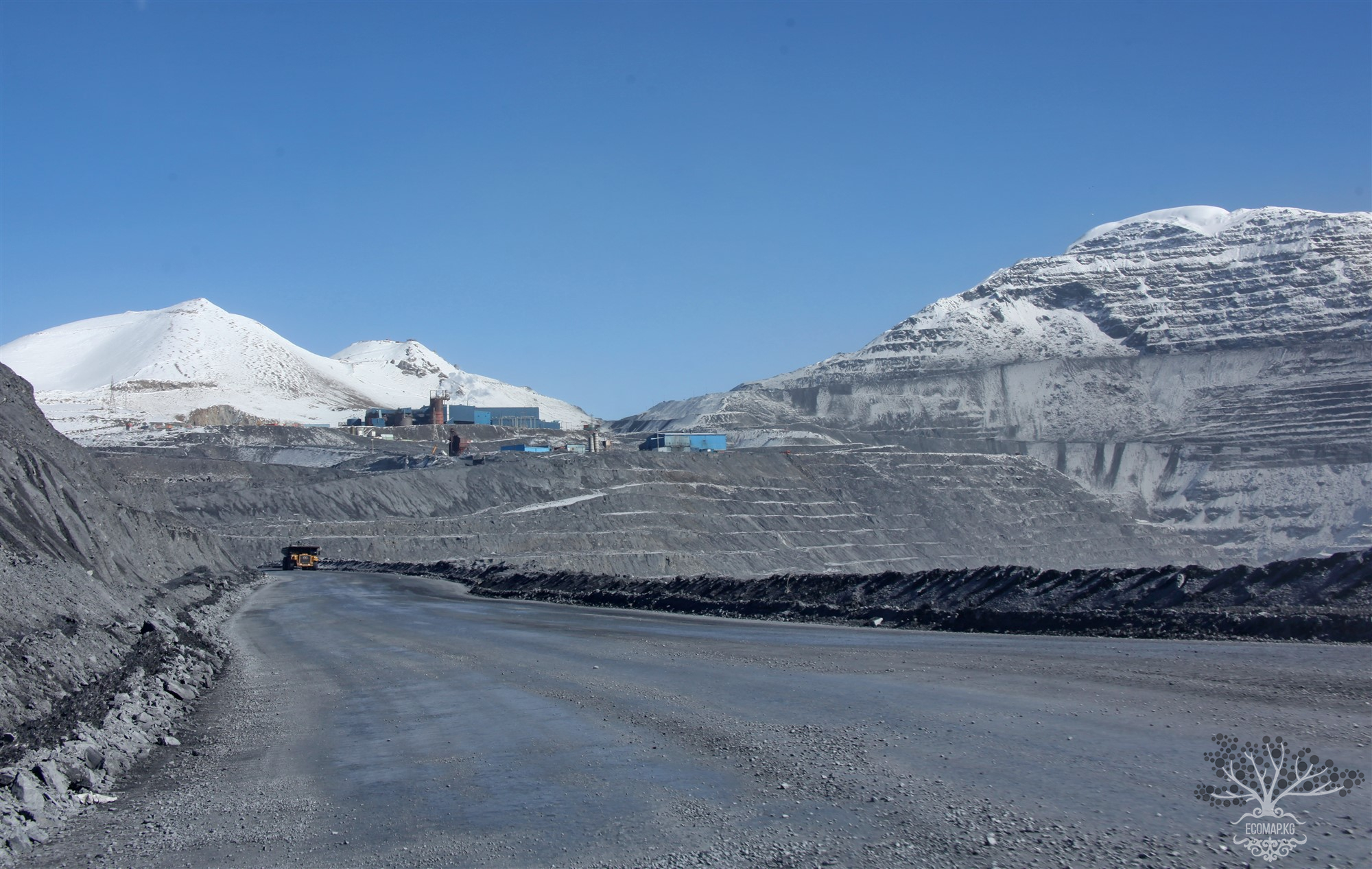
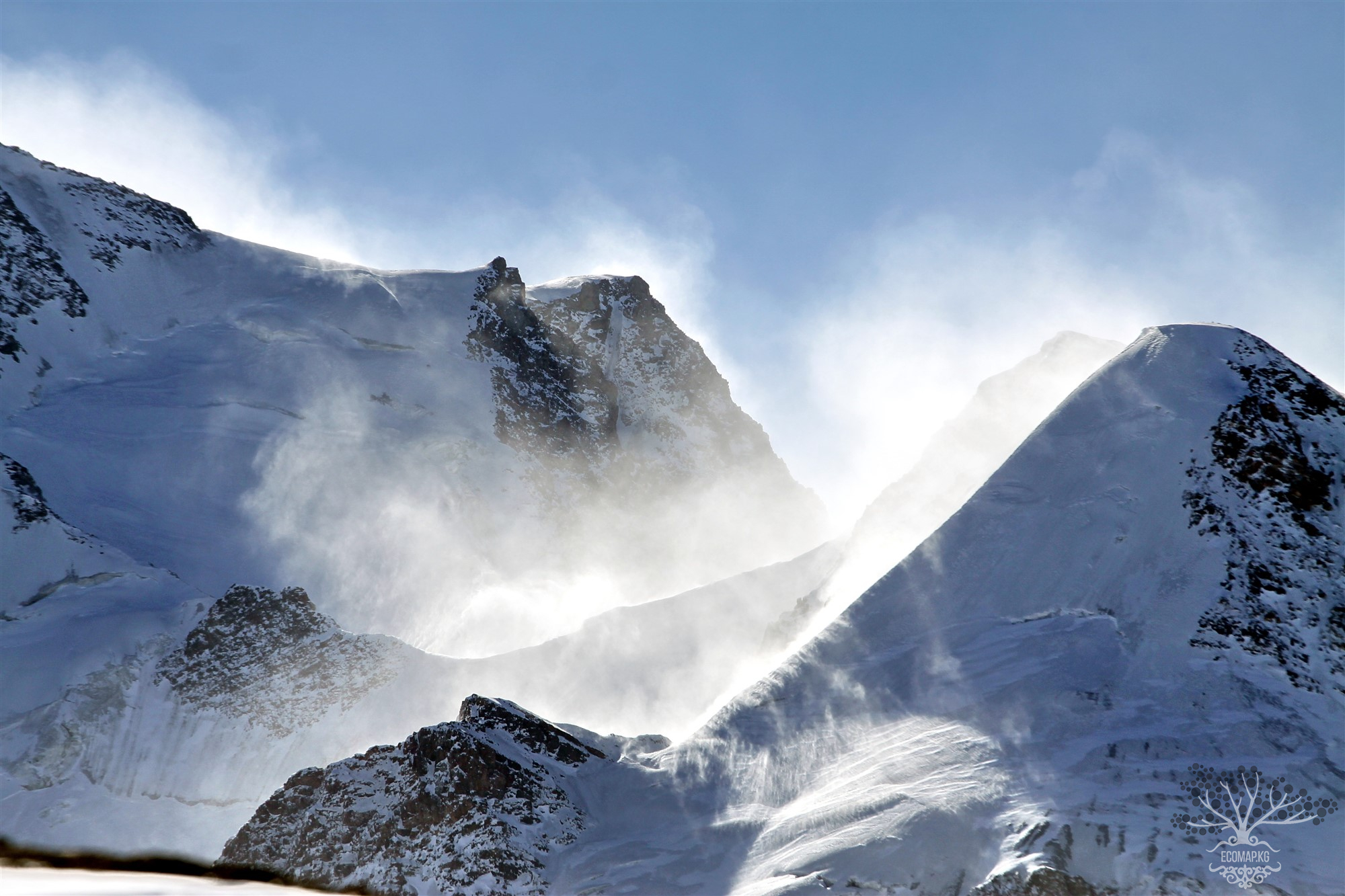
1. In violation of the Law of the Kyrgyz Republic "On Water" dated January 14, 1994, No. 1422-XII, in violation of the Water Code of the Kyrgyz Republic dated January 12, 2005, No. 8, according to which water bodies of the Kyrgyz Republic include those located on the territory of rivers, lakes, glaciers; that water users are obliged to prevent pollution of the ice cover of water bodies and the surfaces of glaciers and snowfields with industrial and other waste; that the territory where rivers are formed is a runoff formation zone, where the placement of tailings and activities that accelerate the melting of glaciers and may affect the condition of glaciers or the quality of the water contained in them are prohibited. The main structures of the Kumtor mine with increased potential for environmental risk, such as quarries, ore stockpiles, massive dumps, a gold extraction plant, a tailings storage facility, drainage channels, treatment facilities, and infrastructure facilities, were located in the zone of active glaciers and permafrost of Central Tien Shan.
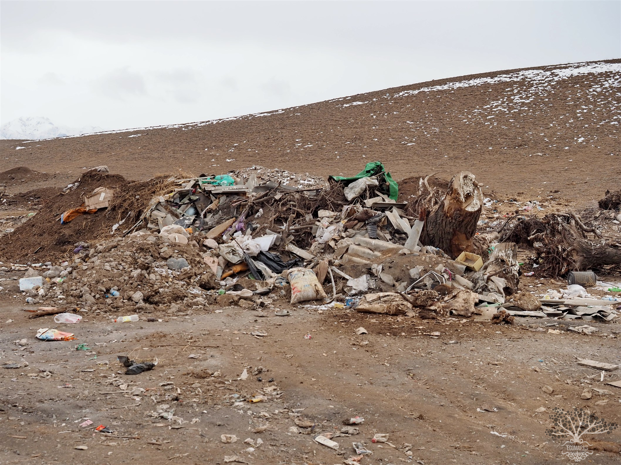
The existing consequences: solid waste in the form of waste rock, tailings, liquid waste in the form of industrial discharges from the tailings storage facility and dumps, toxic chemical reagents that remain in the upper reaches of the Naryn forever.
2. Ore processing is carried out directly at the site of its extraction.
3. There is no mining plan that takes into account the placement of waste rock dumps.
Consequences: a) the incorrect choice of the slope angle (36°) led to the collapse of a high bank in the northeastern part of the quarry. As a result, there were repeated landslides and collapses in 2002, 2006, and 2008;
b) the dumps associated with the Central quarry were located near the quarry and on glaciers;
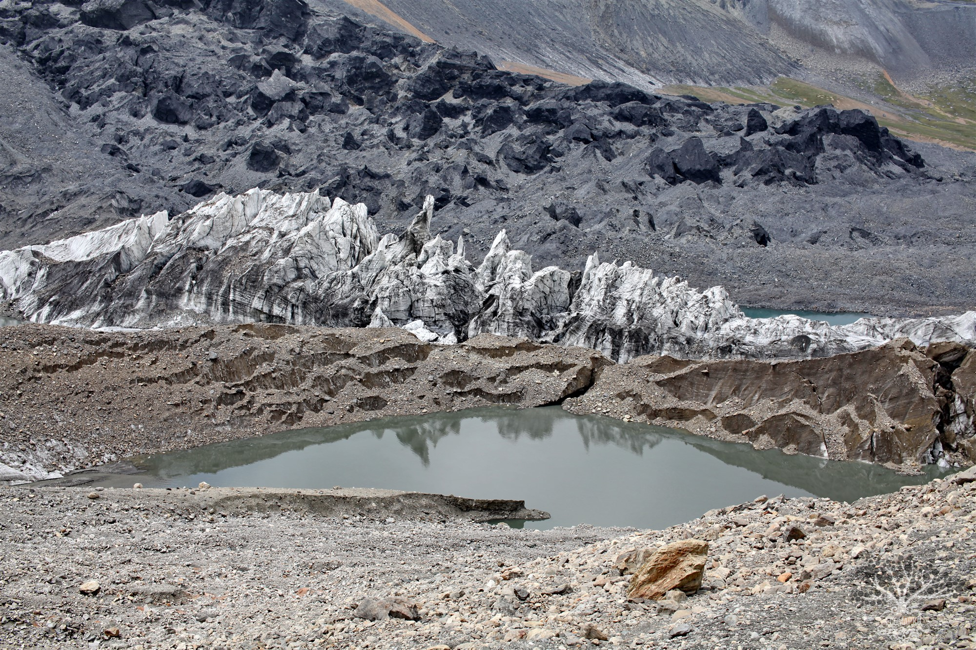
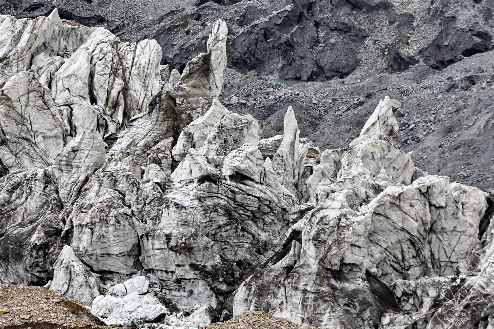
c) Waste rock dumps (WRD) formed during the operation of the Central quarry were placed at a resting angle (36°) on the Davydov and Lysy glaciers, which was completely unacceptable, or were stored on the upper part of the frozen glacial moraine or on rock areas free of ice
Placement of waste dumps on the glacier led to the gradual extrusion of glacial ice towards the quarry. As a result, some areas of the WRD that were initially placed on top of the glacier now lie mostly on the natural lower layer of the glacier's basal moraine.
In a report prepared by "Strathcona," it is stated that a significant amount of waste rock was placed directly on the Davydov and Lysy glaciers.
Subsequently, to access the quarry and ore body, rock dumps and glaciers were moved, leading to unforeseen costs.
"Kyrgyz experts criticized the $78 million (according to the director of "GEOPRIBOR," Torgoev I.A., over $300 million) that were spent on relocating waste rock dumped on the Davydov glacier southeast of the Central quarry.
"The costs for stabilizing the waste rock dump can be significant, with a potentially wide range of prices. The closure plan (decommissioning the mine) does not provide for them" [AMEC].
d) Geotechnical instability and uncontrolled movement (sliding) of waste rock dumps. As a result, the sliding of ice and remaining waste rock will continue for several more years.
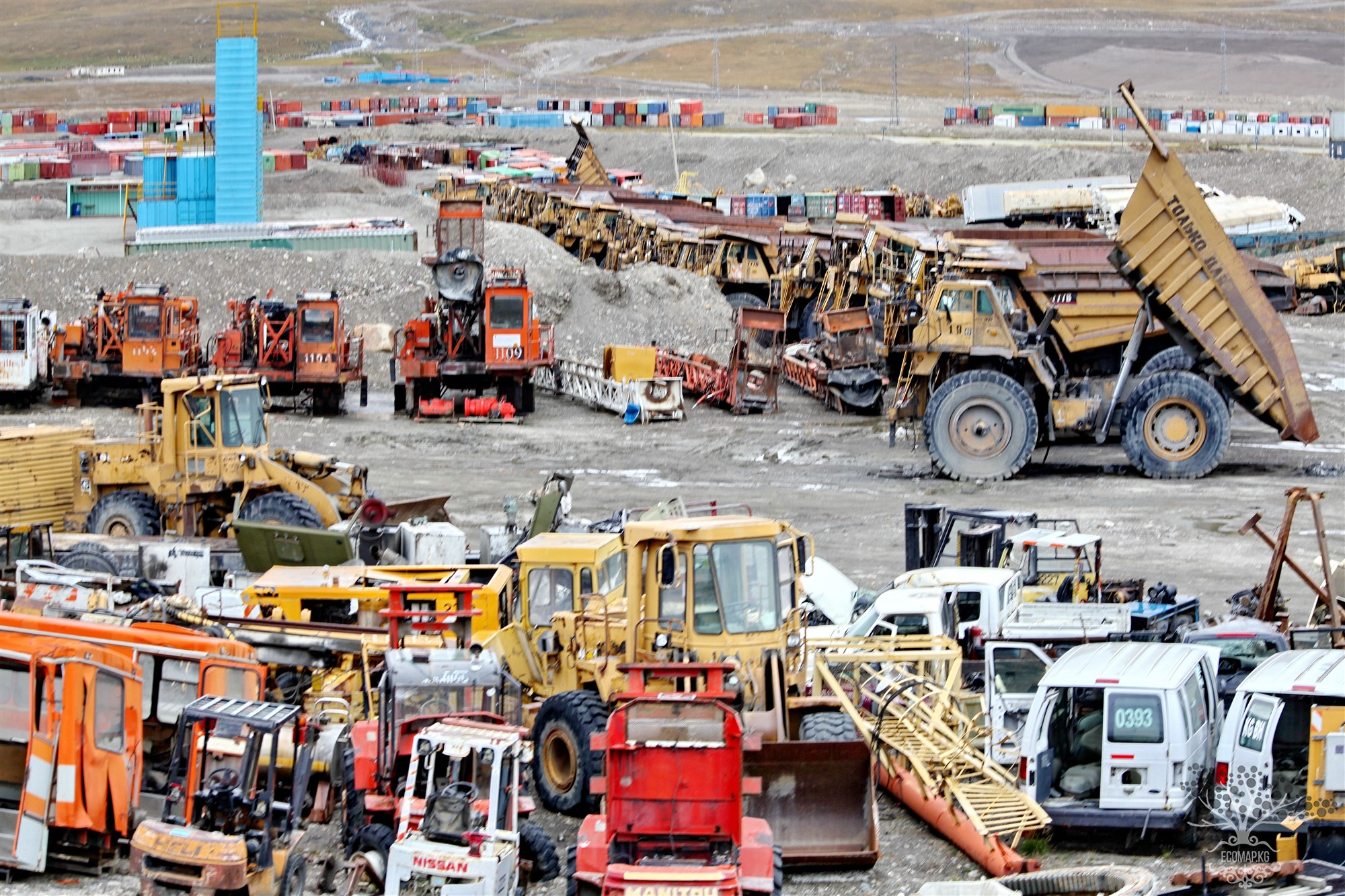
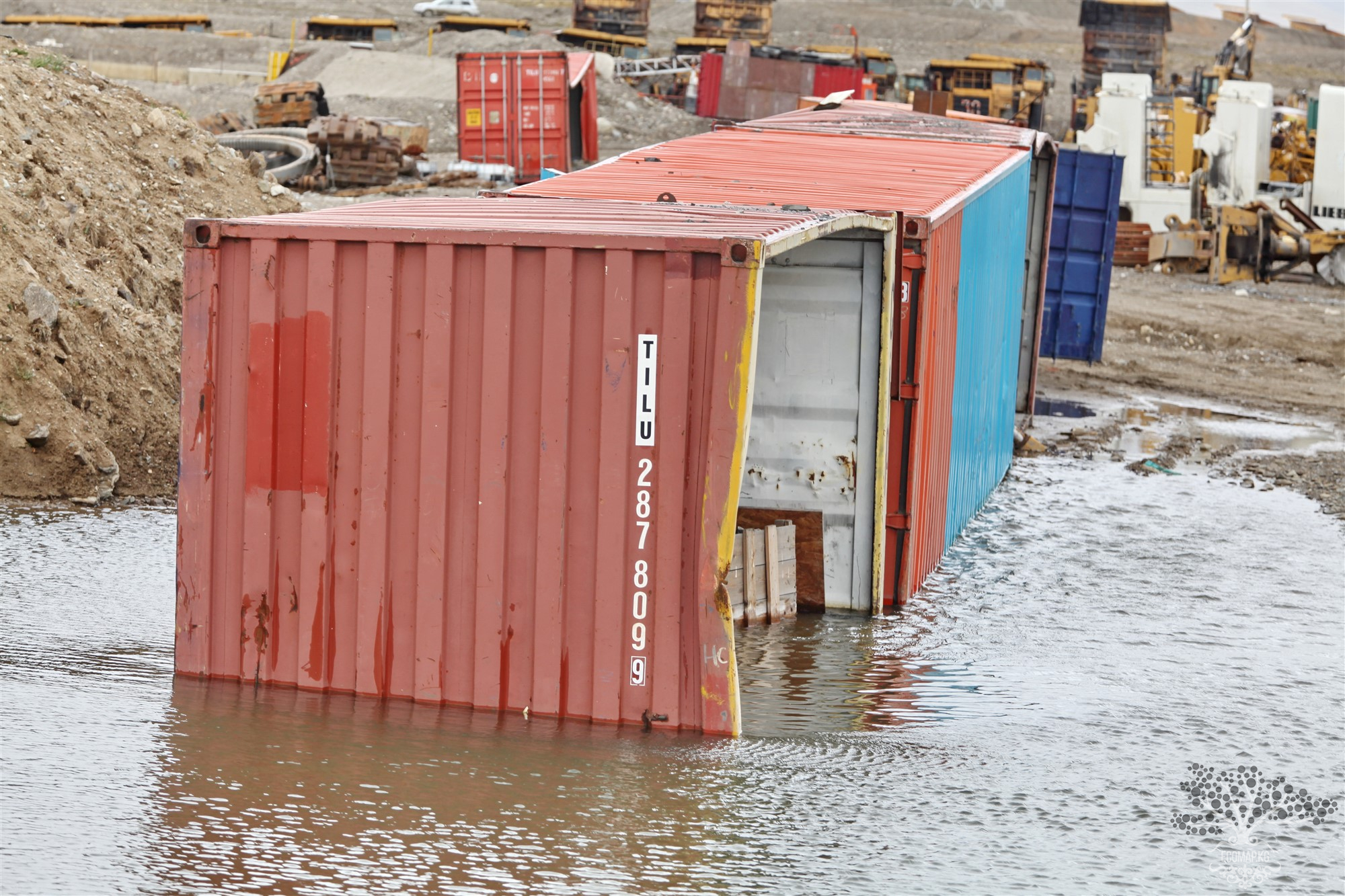
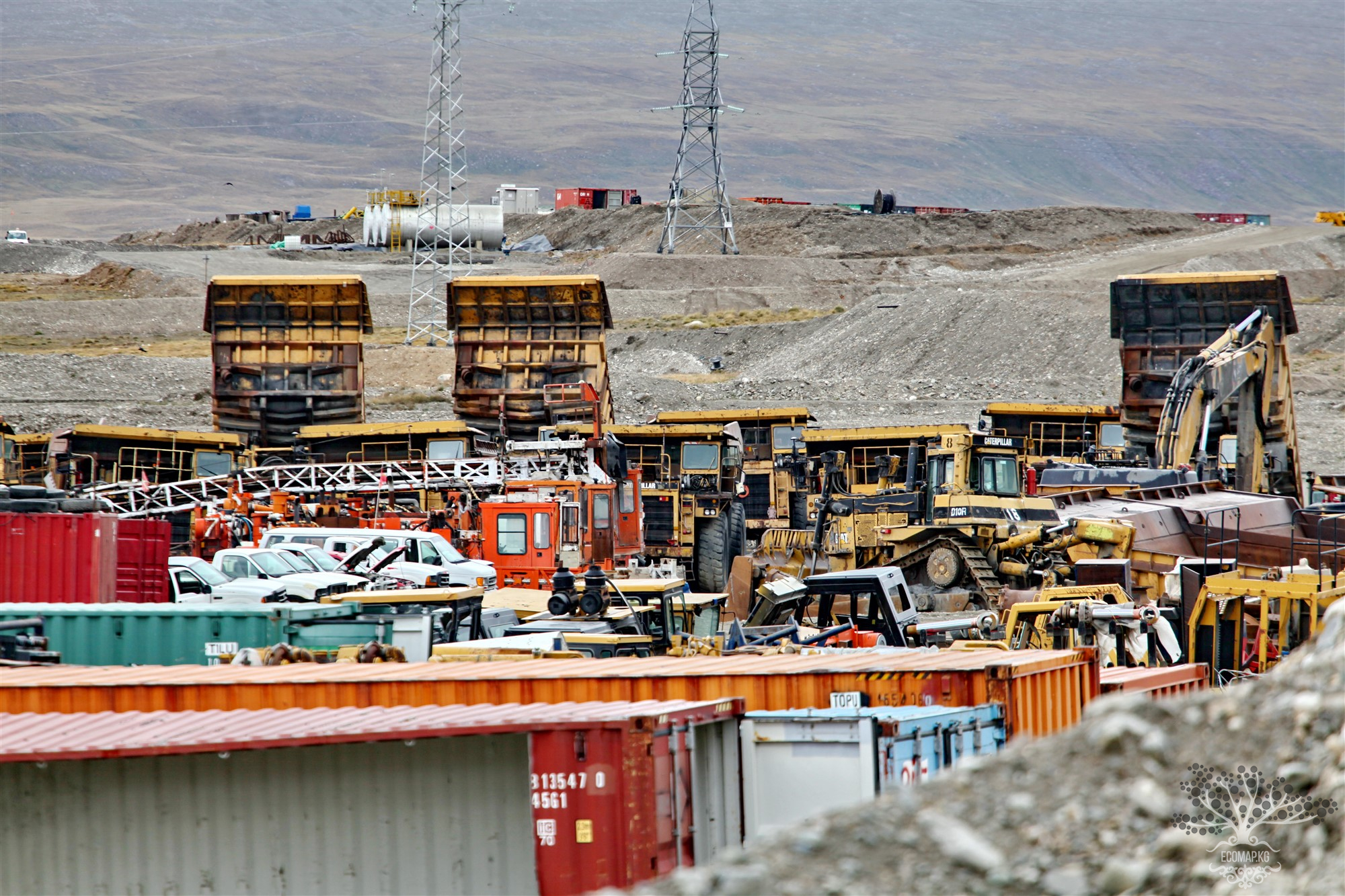
The Interagency Commission for the Study of Waste Dump Movement at the Kumtor mine, established by the order of the Prime Minister of the Kyrgyz Republic on May 2, 2013, No. 184, found that as of May 2013, the movement of waste rock dumps in the Chon-Sary-Tor creek area led to the destruction of the building of the maintenance and repair workshops for heavy mining equipment, the maintenance and repair workshops for vehicles, the main warehouse, and the administrative and domestic block.
This led to the forced evacuation of services. The administrative services of the mine were relocated to the living blocks of the shift camp, as well as to temporary structures made from shipping containers.
4. Reclamation requirements were not taken into account.
Reclamation requirements began to be implemented only from 2013.
"...for 18 years of operation, there was no clear strategy to minimize the consequences and impact on the environment. Not to mention that minimizing environmental impacts is best practice." [p. 72 AMEC]
5. The construction of the pioneer (initial) dam was carried out without removing the active layer of alluvial deposits. As a result, the tailings dam shifted due to sliding over the permafrost roof since 1999. In 2003, it was necessary to additionally build a supporting prism (a connecting element working on shear) to save the situation.
6. In the mining process, glaciers are removed! As a result, the dynamic equilibrium between glacier accumulation and melting is disrupted on a large scale. AMEC's conclusions:
"The removal of the glacier's base will lead to its faster movement because the glacier's tongue is removed or loses its slope, and the opposing force that keeps the glacier in place is currently absent."
"…the movement of glaciers and the placement of rock dumps on glaciers can disrupt the fragile balance in which natural glaciers are stable."
"Processes that can lead to unstable behavior, which are difficult to predict and control"
"It should be noted that the placement of dumps on glaciers can lead to glacier instability, which is very difficult to predict"
"The deposition of significant volumes of waste rock on glaciers leads to a significantly altered vertical pressure profile within the glacier itself, so that the ice can turn into a water layer at the bottom of the glacier. Glaciers begin to move much faster than usual (at a rate of several hundred meters per year). This effect has serious implications for stability, and it is very difficult to describe and predict."
It is unclear what the final ecological footprint of the WRD will be from now until closure, or after closure. The NI43-101 report (Strathcona Mineral Services, 2012) states that in the medium term, waste rock dumps will not be stable.
According to best international practices, full rehabilitation of waste rock dumps will be required, i.e., placing a topsoil layer and restoring vegetation. However, this is unlikely to be possible due to the geotechnical instability of the waste rock dumps due to their sliding.
The existing WRD plan does not take geotechnical issues into account, as it still proposes to place new waste rock dumps on problematic existing dumps.
"The costs for stabilizing the waste rock dump can be significant, with a potentially wide range of prices. The closure plan (decommissioning the mine) does not provide for them." [AMEC]
"…waste rock dumps cannot be stabilized in their current state and will continue to move. Working at the base of the dumps will be unsafe" [AMEC]
The instability of the sliding waste rock dumps and the lack of a plan to resolve the situation, especially considering the decommissioning of the mine, is unacceptable, given the significant uncertainty regarding safe operation and closure/reclamation. [AMEC]
Addressing environmental issues at the mine will require multi-billion dollar expenditures that are not accounted for in the project, and some problems are completely unsolvable.


Attention: Information based on submitted complaints