Panfilov District. Bukara Village. Destroyed Warehouse of Obsolete Pesticides
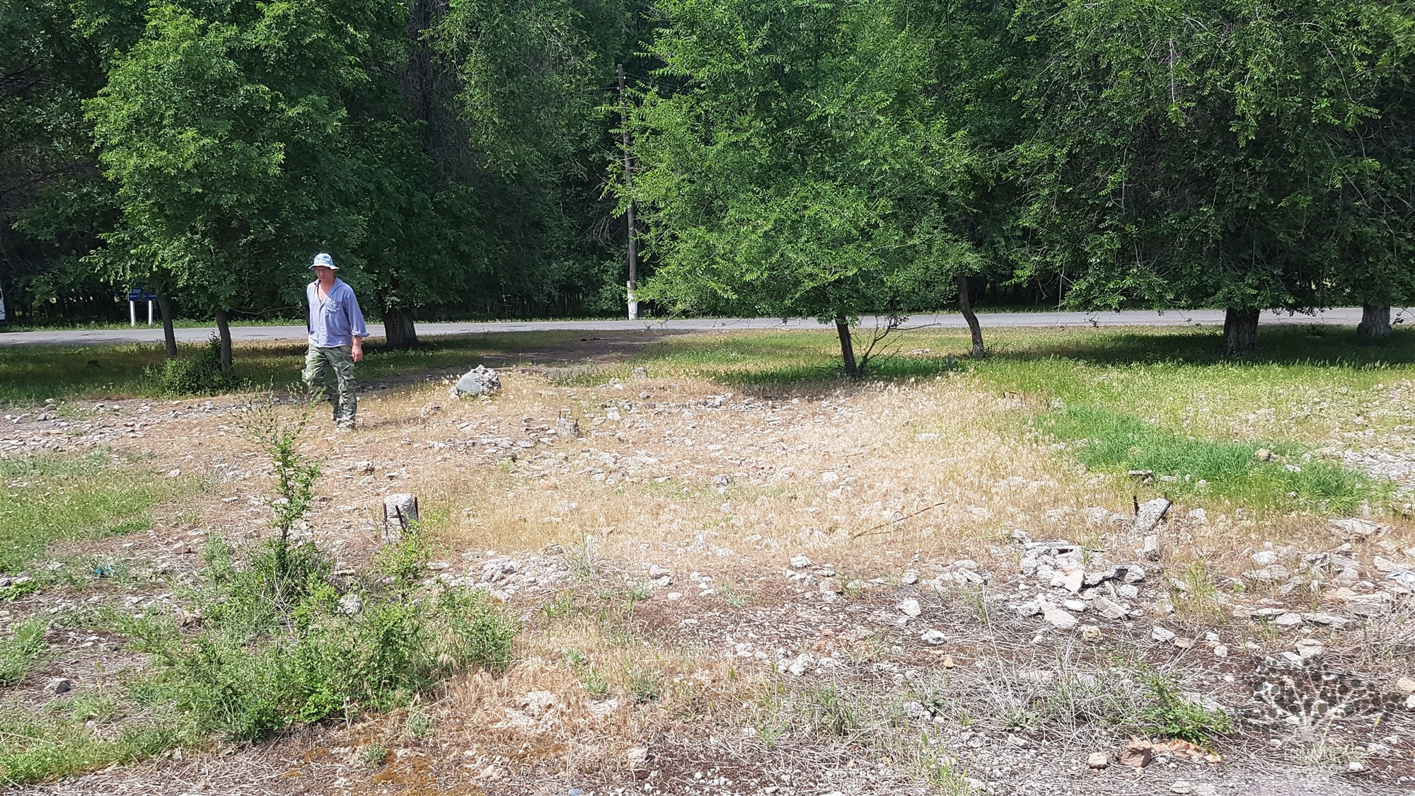
Coordinates: 42.728273, 73.783260 Panfilov District. Bukara Village. Destroyed storage facility for outdated pesticides.
Coordinates: 42.728273, 73.783260 Panfilov District. Bukara Village. Destroyed storage facility for outdated pesticides.
Coordinates: 42.740606, 73.752045 Ortoevsky District. Kuramin Rural District. Telman Village. Destroyed storage of outdated pesticides.
Coordinates: 42.795621 73.680731 Panfilov District. Kuramin Aiyl District. Village of Panfilovka. AO "Heroes of Panfilov"

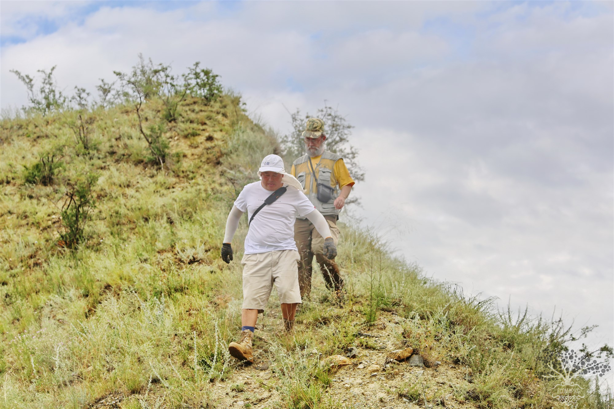
Coordinates: 42.781849, 74.547418 The extraction of valuable resources consistently benefits people while harming the environment. Numerous ecological problems arise during the stages of their extraction and processing.
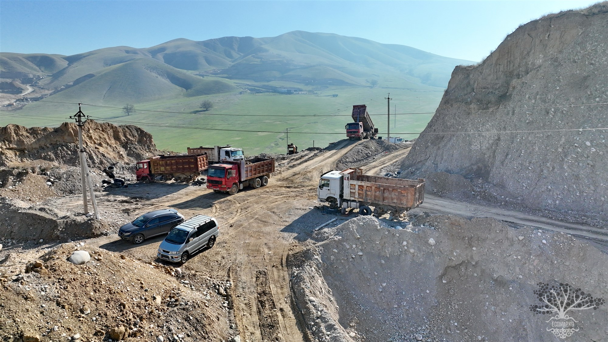
Coordinates: 42.789289, 74.572583 Mount Boz-Boltok, from Kyrgyz, means "gray elevation," is located ten kilometers from Bishkek. Mining companies continue to destroy the relic area despite environmental protection laws, the conclusions of a special commission, proven facts of violations, and the president's decree granting Mount Boz-Boltok the status of an archaeological and historical reserve. The current situation on Mount Boz-Tolok requires immediate intervention; otherwise,
Coordinates: 42.506805, 75.831476 The mountain forests of the Tien Shan have a significant impact on the water supply of transboundary rivers. Growing on the slopes of mountains and river floodplains, they influence the formation of air masses in the lower layers of the atmosphere, humidity, air and soil temperature, wind patterns, precipitation accumulation, and its distribution across the territory, creating what is known as a mesoclimate. The forests help prevent mudflows, hinder the
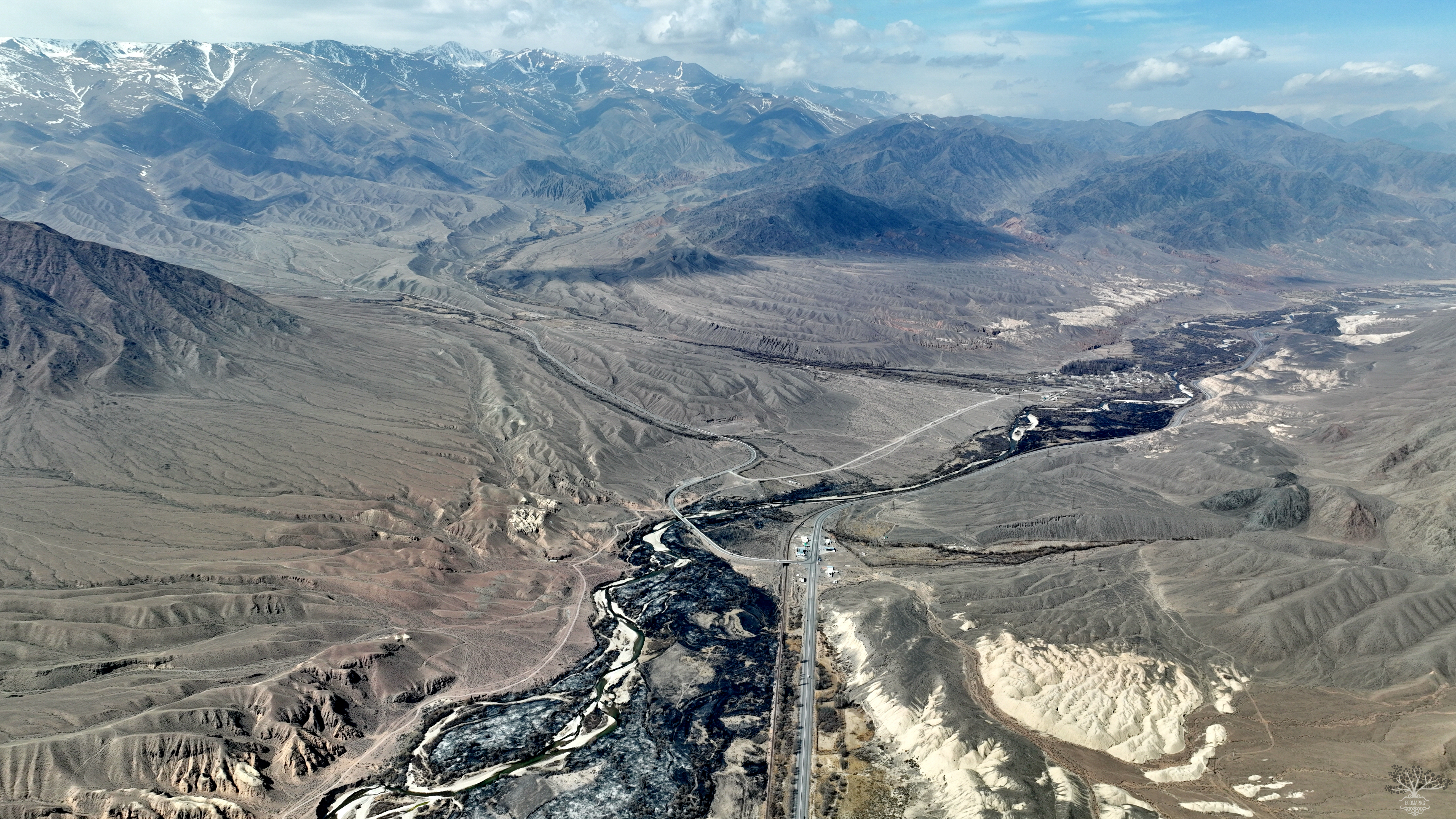
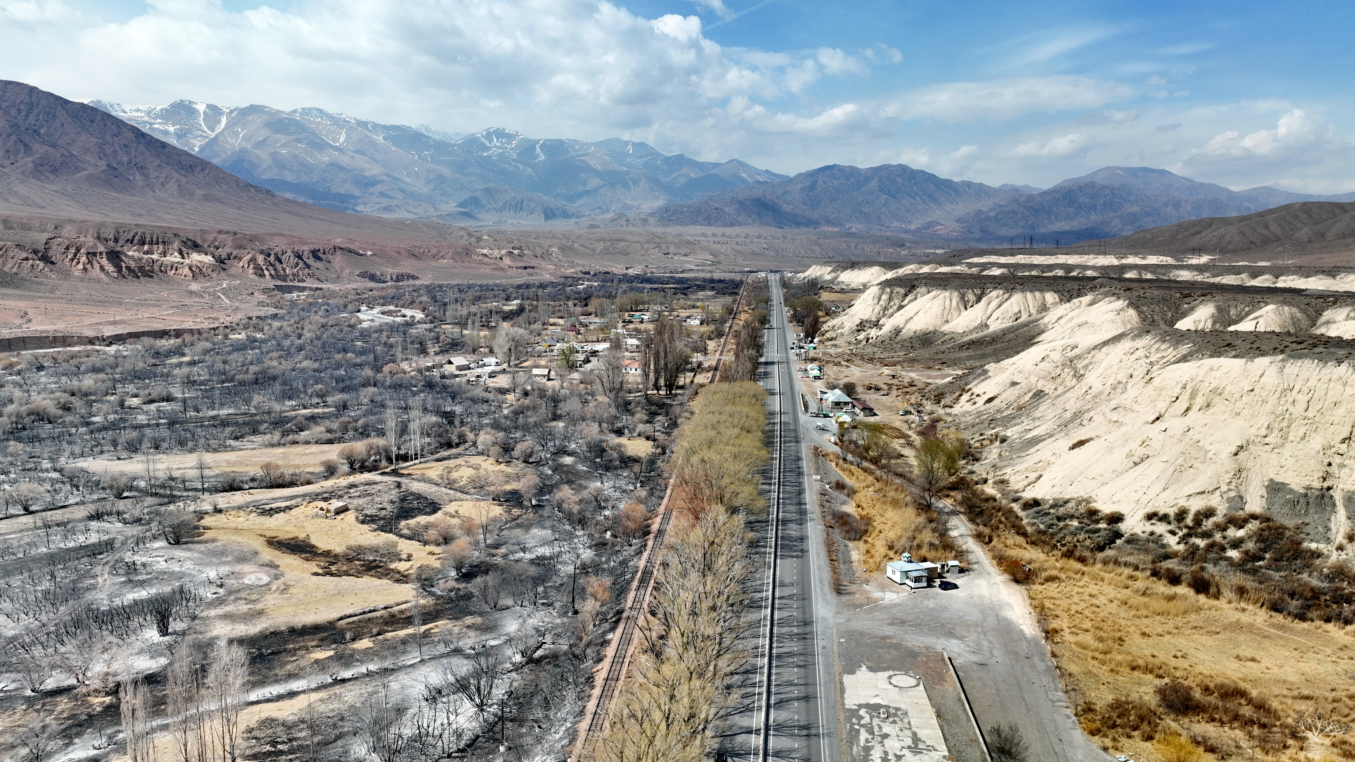
Coordinates: 42.468592, 75.894652 A large fire has occurred again in the Boom Gorge near the village of Kok-Moynok; the ignition took place at the 157th kilometer of the Bishkek — Naryn — Torugart highway in the Ton district of the Issyk-Kul region. The Ministry of Emergency Situations reported that as a result, two sheds and a wall of a house burned down, along with dry grass, bushes, and trees over an area of about 50 hectares. On March 25, a fire broke out again in the same area.
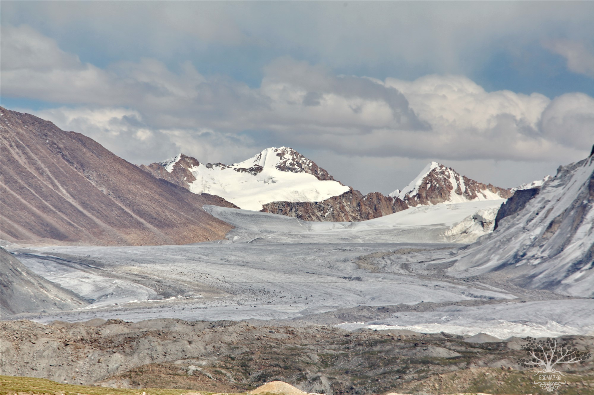
Coordinates: 41.853630, 78.195276 Located at an altitude of over 4000 meters in the heart of the Tien Shan, the Kumtor mine is considered the eighth largest gold deposit in the world. As a result of an agreement between the government of Kyrgyzstan and Cameco Corporation (a Canadian company), Kumtor Operating Company (KOC) is engaged in gold mining. Since then, KOC has been renamed Centerra Gold. Mining began in 1996 and has never ceased. While working with Kumtor, Centerra focused on the
Coordinates: 40.833087, 73.267735 Landfills are one of the significant factors of pollution that negatively impact natural components: the atmosphere, water sources, soil, and plant and animal life. By being placed directly on the soil surface, landfills remove a substantial portion of land from agricultural use and the biosphere, introducing pollutants into them.
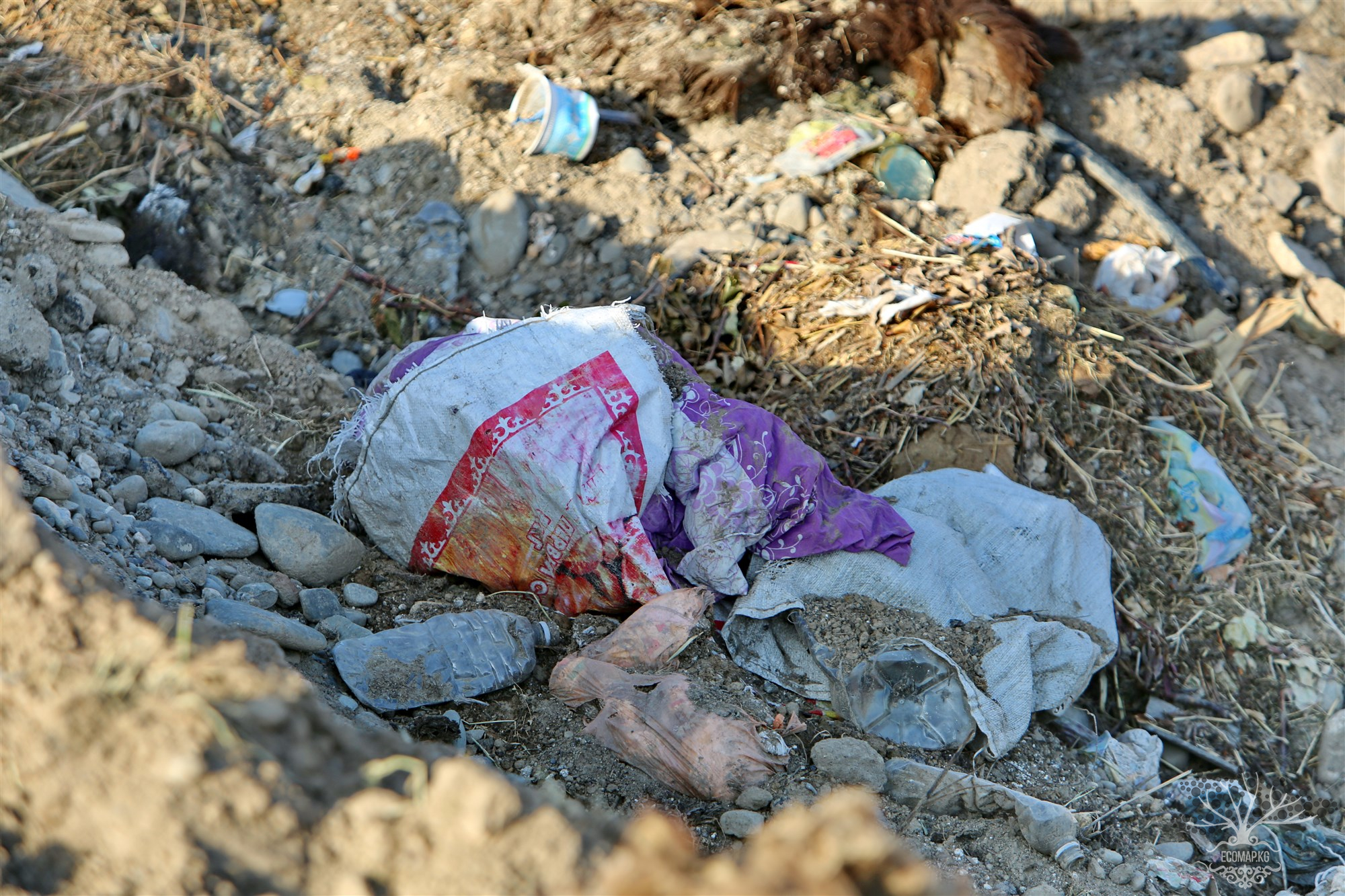
Coordinates: 40.851615, 73.256842 Any unauthorized dump is not only very unaesthetic but also dangerous. Each such pile is a kind of chemical laboratory, producing harmful toxins and spreading contaminated substances around it. Atmospheric precipitation, passing through piles of garbage like a filter, enters the soil and then into underground waters, rivers, and lakes, altering their chemical and physical composition. An unauthorized dump, like a legal one, is a real breeding ground for