EcoMap.kg » Incidents » Page 58
Radiation

Uranium Dumps of Kyzyl-Zhar – 12

41°16’8325″N 71°596774’8734″E In the village of Kyzyl-Djar-12 in the city of Tash-Kumyr, uranium was mined during the Soviet era. This led to a high degree of land degradation around the village, an increase in desertification processes, and deforestation. The lack of positive practices for combating land degradation and proper pasture management resulted in an annual increase in the strength of dust winds and storms during the summer, with exposure dose rates ranging from 20 to 210 µR/h from

Landfill

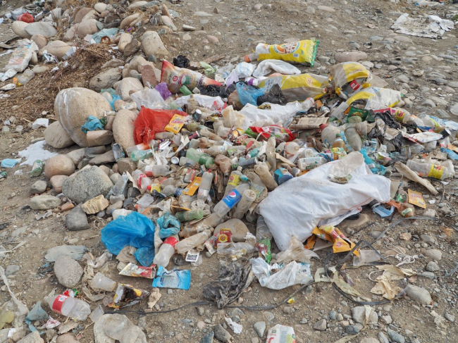
The Spontaneous Dump of the Village of Ala-Buka

41°22’2516″N 71°28’8734″E Unauthorized landfills are one of the significant factors of pollution, negatively impacting natural components: the atmosphere, water sources, soil, and plant and animal life. By being placed directly on the soil cover, landfills remove a substantial portion of land from agricultural circulation and the biosphere, introducing pollutants into them. When waste placed in unauthorized landfills ignites, toxic and harmful substances are released into the atmosphere.

Radiation

Reclamation of Uranium Sites in the Shekaftar-3 Settlement

41°13’9319″N 71°18’6233″E First of all, it is planned to close six mines where work has long ceased. In addition, the contents of five tailings storage facilities will be moved to one more remote location. The development of the Shekaftar uranium mine began in 1946, and in 1949, a settlement of the same name was established nearby. Uranium extraction was halted in 1957, and the life of the settlement focused around the development of a lead mine that began near the nearby settlement of Sumsar.

Radiation

Reclamation of Uranium Sites in the Shekaftar-2 Settlement

41°13’7154″N 71°19’0501″E First of all, it is planned to close six mines that have not been operational for a long time. In addition, the contents of five tailings storage facilities will be moved to one more remote location. The development of the Shekaftar uranium mine began in 1946, and in 1949, a settlement of the same name was established nearby. Uranium mining was halted in 1957, and the life of the settlement focused on the development of a lead mine, which was started near the adjacent

Radiation

Rehabilitation of Uranium Sites in the Settlement of Shekaftar

41°13’8575″N 71°19’0688″E First of all, it is planned to close six mines that have not been operational for a long time. In addition, the contents of five tailings storage facilities will be moved to one more remote location. The development of the Shekaftar uranium mine began in 1946, and in 1949, a settlement of the same name was established nearby. Uranium extraction was halted in 1957, and the life of the settlement centered around the development of a lead mine that began near the nearby

Landfill

The Spontaneous Dump of the Buzuk Settlement

41°28’7268″N 71°08’0741″E Unauthorized landfills are one of the significant factors of pollution that negatively impact natural components: the atmosphere, water sources, soil, and plant and animal life. By being placed directly on the soil surface, landfills remove a substantial portion of land from agricultural use and the biosphere, introducing pollutants into them. When waste placed in unauthorized landfills catches fire, toxic and harmful substances are released into the atmosphere. Heavy

Deforestation

Uncultivated placer gold deposit on the Kasan-Sai River. Company "Chatkal-17"

41°27’3397″N 71°12’0132″E Extraction and exploration of placer gold in riverbeds and floodplains is one of the most environmentally hazardous types of mining activities. During the development of deposits, environmental protection legislation is not adhered to - this concerns land reclamation, negative impacts on water resources (untreated wastewater is often discharged into rivers). Placer gold is found in the upper reaches of rivers, essentially at their sources. Negative impacts on the

Water Pollution

Uncultivated placer gold deposit on the Kasan-Sai River. Kara-Dobo-1

41°29’6703″N 71°01’9182″E Extraction and exploration of placer gold in riverbeds and floodplains is one of the most environmentally hazardous types of mining activities. When developing deposits, environmental legislation norms are not adhered to - this concerns land reclamation, negative impacts on water resources (untreated wastewater is often discharged into rivers). Placer gold is found in the upper reaches of rivers, essentially at their sources. Negative impacts on the sources mean

Deforestation

Uncultivated Alluvial Gold Deposit on the Kasan-Sai River. Kara-Dobo

41°29’5456″N 71°03’18172″E Extraction and exploration of placer gold in riverbeds and floodplains is one of the most environmentally hazardous types of mining activities. When developing deposits, environmental legislation norms are not followed - this concerns land reclamation, negative impacts on water resources (untreated wastewater is often discharged into rivers). Placer gold is found in the upper reaches of rivers, essentially at their sources. Negative impacts on the sources translate

Water Pollution

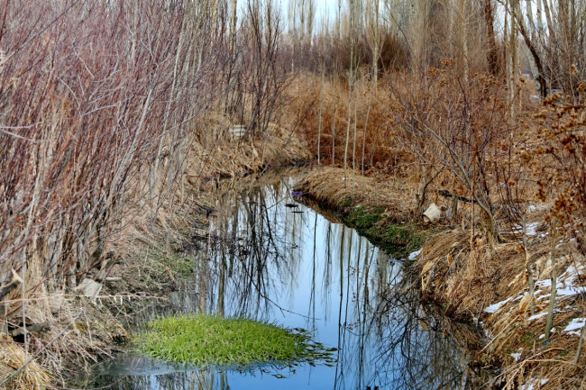
Wastewater treatment and sewage facilities of the city of Kerben in emergency condition

41°29’0″N 71°44’43″E The wastewater treatment facilities in the city of Kerben are in an emergency state, morally and physically worn out, and require urgent reconstruction. Poorly treated wastewater and sewage from the city hospital deliver organic matter to the rural canal. The water is then used for irrigating arable land in the district's agricultural sector, consumed by livestock, and used by people. However, due to the long absence of repairs and the emergency condition, the impurities

Продолжая просматривать сайт ecomap.kg вы принимаете правила сайта.
ОК
[/not-static]

Embed the map on your site

Just copy this code and paste it on your website. The map will update automatically.