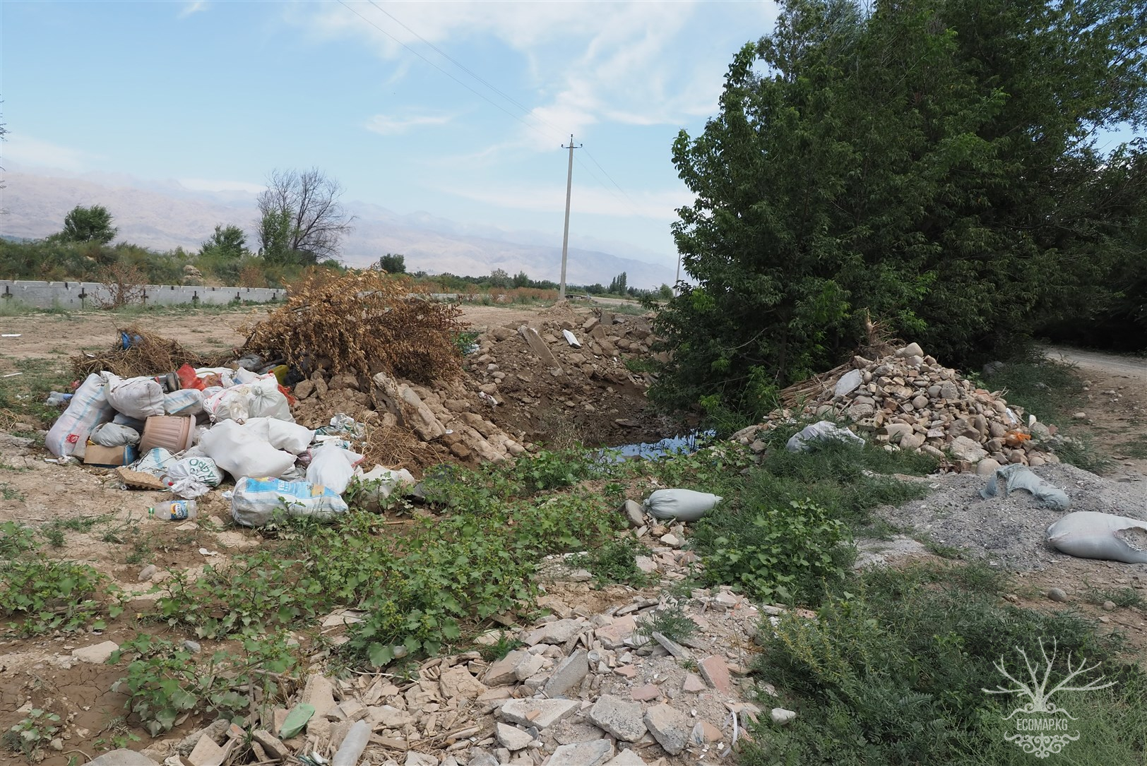
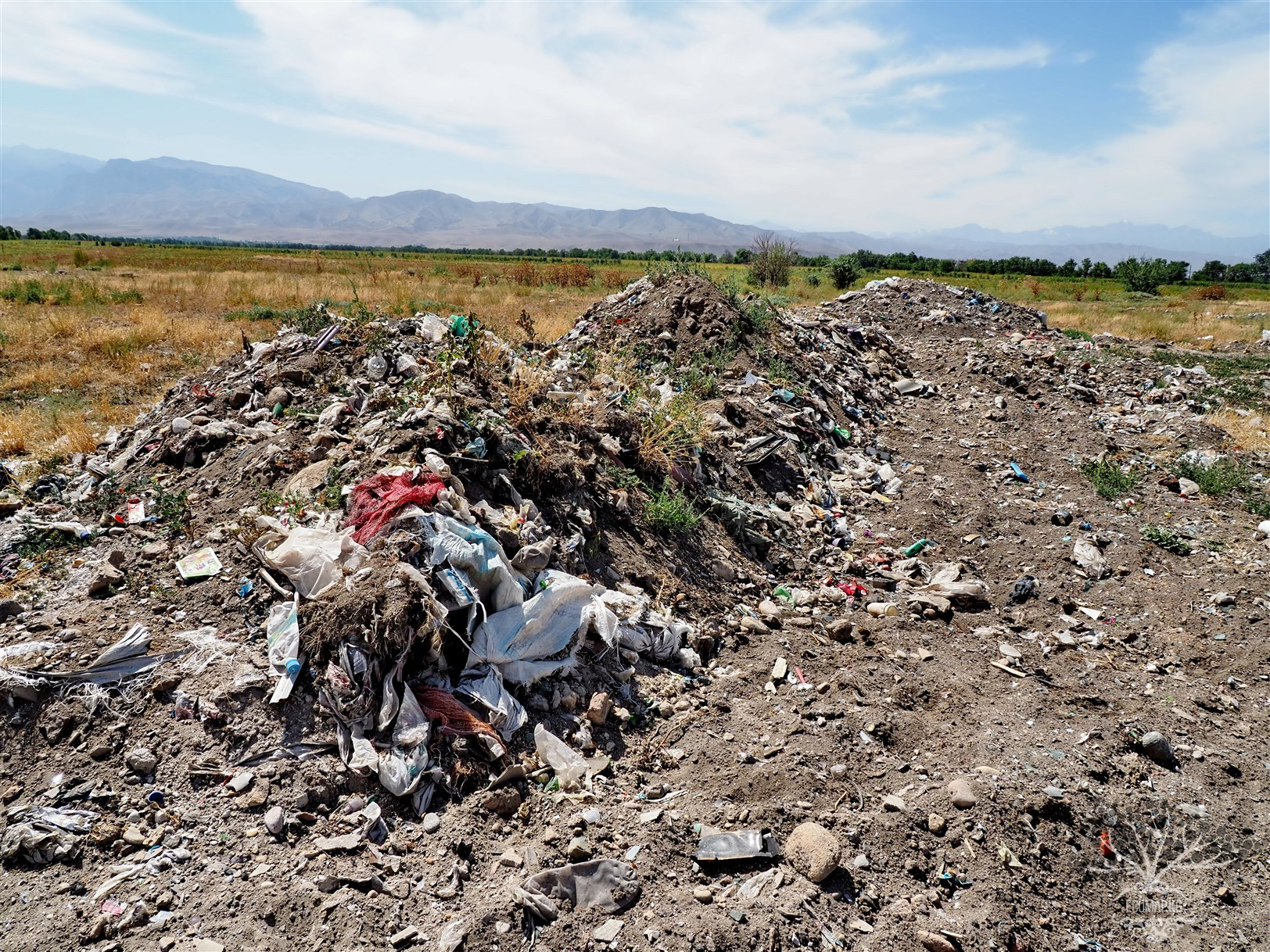
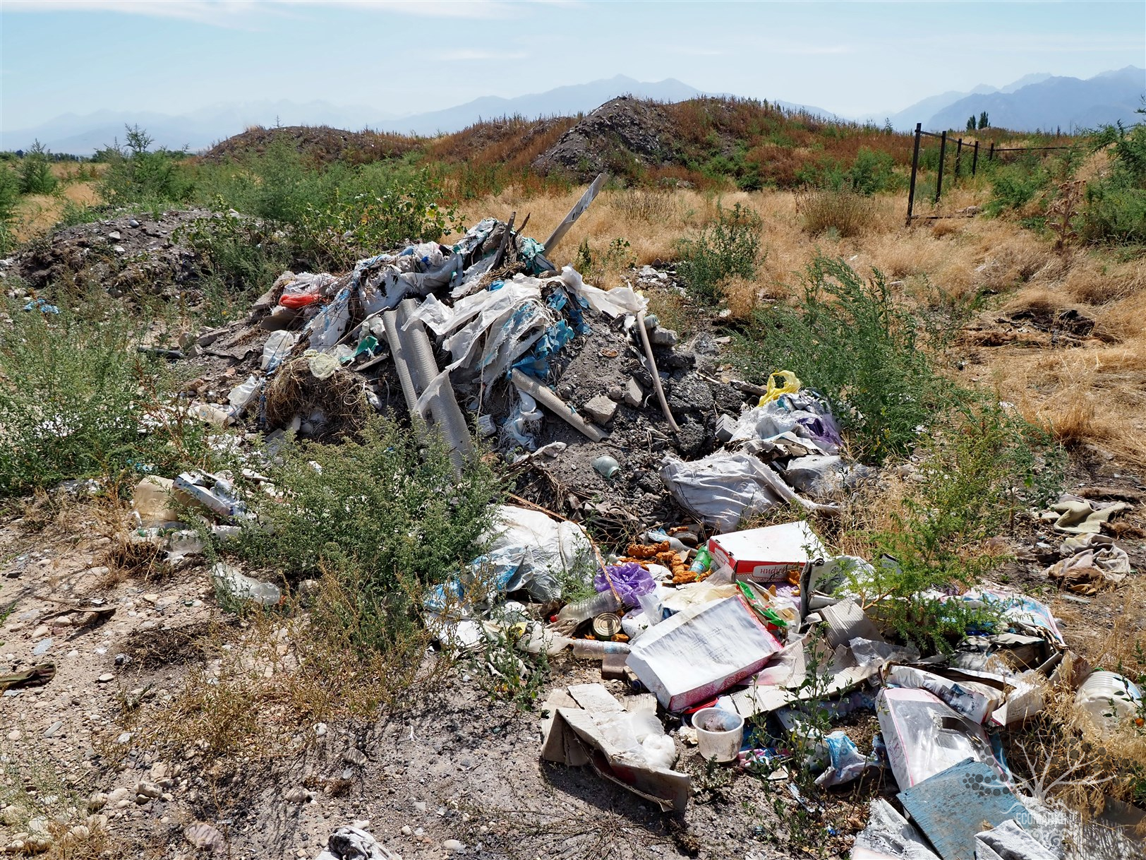
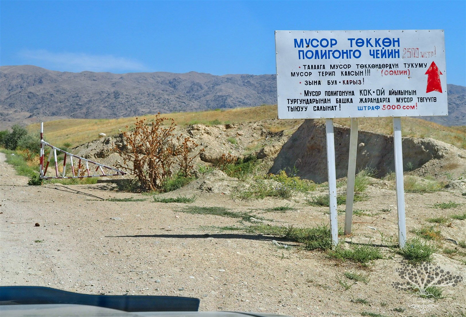
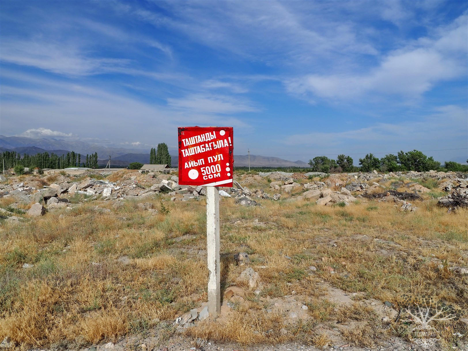
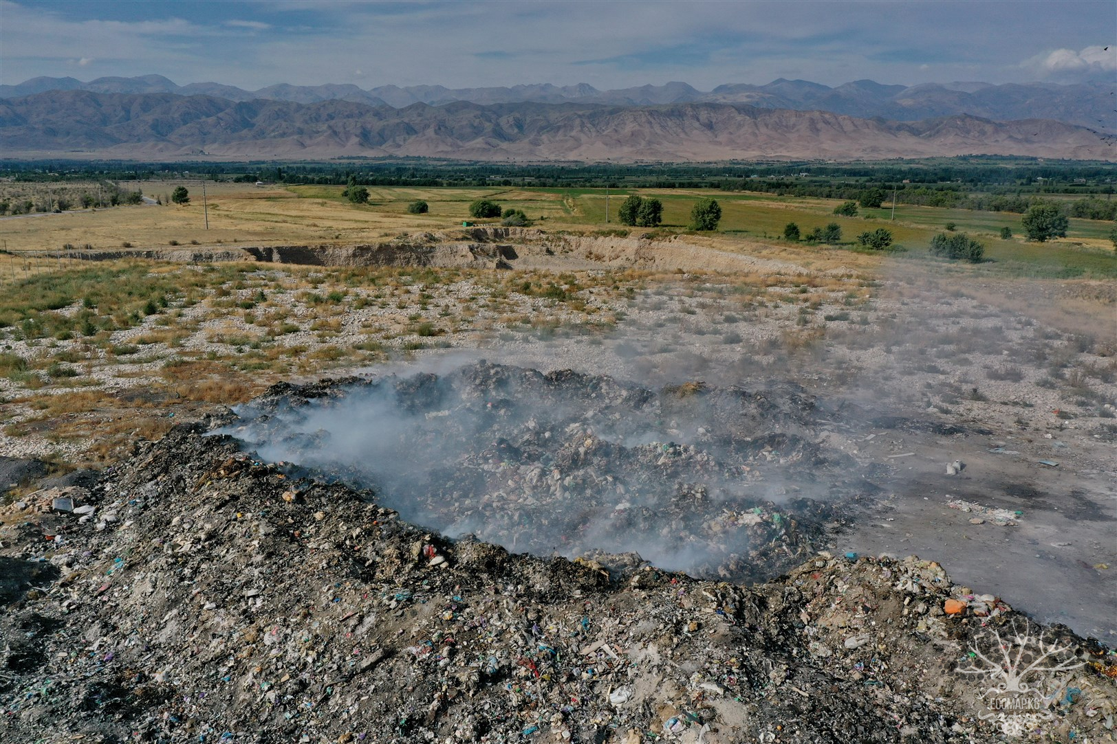
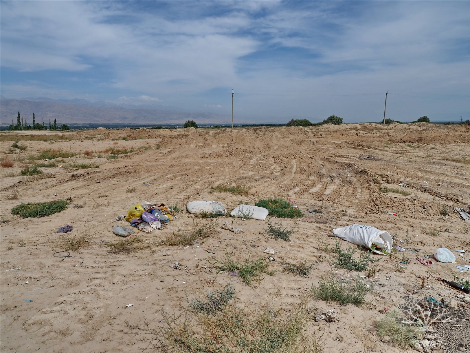
EcoMap.kg » Incidents » Page 22
Landfill

Spontaneous Dump South of Talas Airport No. 2

Coordinates: 42.502383, 72.254582 Illegal dumps of solid household waste (SHW) pose one of the main threats to the environment, especially in terms of soil and groundwater contamination. Since such dumps are not properly organized, the waste stored in them undergoes uncontrolled decomposition, releasing toxic substances into the environment. As a result, both surface and deep layers of soil, as well as aquifers, become contaminated, which can have long-term negative consequences for ecosystems

Landfill

Spontaneous Dump South of Talas Airport No. 1

Coordinates: 42.494113, 72.258539 Illegal landfills of solid municipal waste (SMW) pose one of the main threats to the environment, especially in terms of soil and groundwater contamination. Since these landfills are not properly managed, the waste stored in them undergoes uncontrolled decomposition, releasing toxic substances into the environment. As a result, both surface and deep layers of soil, as well as aquifers, become contaminated, which can have long-term negative consequences for

Extraction of inert materials in the Talas River bed

Coordinates: 42.539861, 72.207792 Industrial developments for the extraction of inert materials from rivers, such as sand, gravel, and pebbles, play a crucial role in construction and other industries, but their uncontrolled exploitation leads to serious environmental consequences. This process, carried out in the floodplain areas of rivers and along the riverbed, has a destructive impact on the ecosystems of water bodies, forest areas, and water quality.

Water Pollution

Placement of Septics in the Floodplain Zone of the Talas River

Coordinates: 42.540987, 72.206627 Septic tanks in floodplain areas of rivers pose a serious ecological and sanitary threat. Floodplain areas are low-lying regions that are periodically flooded by rivers during high water or heavy rains. These areas play an important role in ecosystems, supporting biodiversity, filtering water, and creating habitats for numerous species of plants and animals. The use of septic tanks in such zones is dangerous for both the environment and human health for a

Landfill

The Spontaneous Dump of the Village of Kök - Oi

Coordinates: 42.569893, 72.199607 Illegal dumps of solid household waste (SHW) pose one of the main threats to the environment, particularly in terms of soil and groundwater contamination. Since such dumps are not properly managed, the waste stored in them undergoes uncontrolled decomposition, releasing toxic substances into the environment. As a result, both surface and deep layers of soil, as well as aquifers, become contaminated, which can have long-term negative consequences for ecosystems

Water Pollution

Talas: An Illegal Dumping Site Near the Wastewater Treatment Facilities. Groundwater Contamination

Coordinates: 42.520692, 72.200085 Illegal dumps of solid household waste (SHW) represent one of the main threats to the environment, especially in terms of soil and groundwater contamination. Since such dumps are not properly managed, the waste stored in them undergoes uncontrolled decomposition, releasing toxic substances into the environment. As a result, both surface and deep layers of soil, as well as aquifers, become contaminated, which can have long-term negative consequences for

Landfill

Talas. Spontaneous Waste Dump

Coordinates: 42.500746, 72.290350 Illegal dumps of construction waste pose a serious threat to the environment, human health, and safety. Unlike organized landfills, where waste is disposed of in accordance with environmental standards, such dumps are formed in unauthorized locations, leading to numerous problems. Construction waste includes remnants of bricks, concrete, metal, plastic, wood, as well as hazardous substances such as asbestos and chemical building materials.

Landfill

Landfill of Municipal Solid Waste of the City of Talas

Coordinates: 42.485559, 72.295682 Illegal dumps are one of the most dangerous environmental phenomena in Kyrgyzstan. These are places where waste and garbage accumulate without adhering to any standards or norms of disposal, creating serious threats to the environment and human health. The sizes of illegal dumps are increasing at a catastrophic rate. They consume land, lead to the death of local flora and fauna, expand towards nearby settlements, and poison people. The irrational, outdated,

Landfill

Illegal Dumping Site in the Village of Keng-Aral

Coordinates: 42.512081, 72.119666 Illegal dumps are one of the most dangerous environmental phenomena in Kyrgyzstan. These are places where waste and garbage accumulate without adhering to any standards or norms of disposal, creating serious threats to the environment and human health. The sizes of illegal dumps are increasing at a catastrophic rate. They consume land, lead to the death of local flora and fauna, expand towards nearby settlements, and poison people. The irrational, outdated,

Landfill

Illegal Dumping Site in the Village of Özgörüş

Coordinates: 42.520816, 72.060691 Illegal dumps are one of the most dangerous environmental phenomena in Kyrgyzstan. These are places where waste and garbage accumulate without adhering to any standards or norms of disposal, creating serious threats to the environment and human health. The size of illegal dumps is increasing at a catastrophic rate. They consume land, lead to the destruction of local flora and fauna, expand towards nearby settlements, and poison people. The irrational,

Продолжая просматривать сайт ecomap.kg вы принимаете правила сайта.
ОК
[/not-static]

Embed the map on your site

Just copy this code and paste it on your website. The map will update automatically.