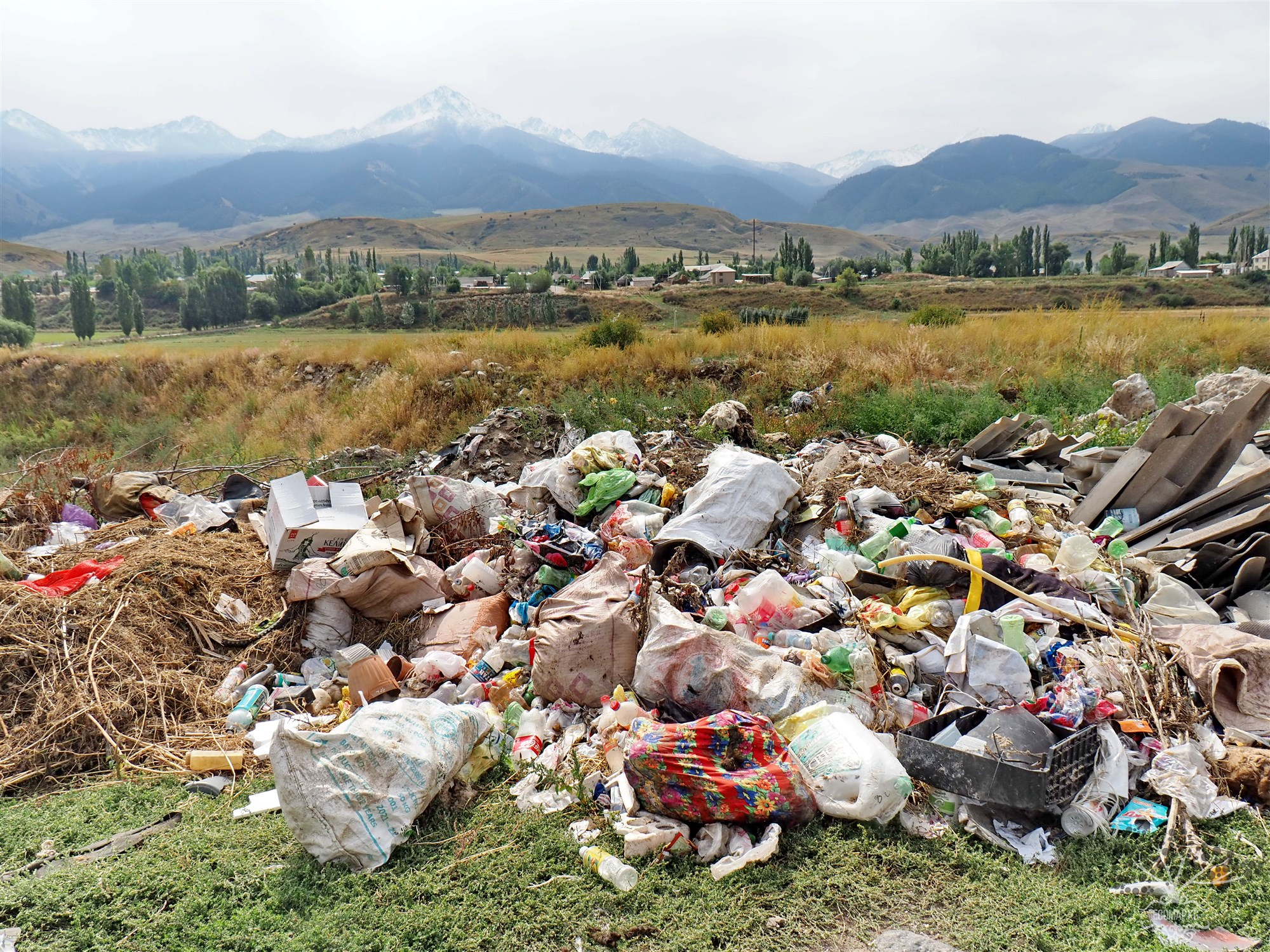
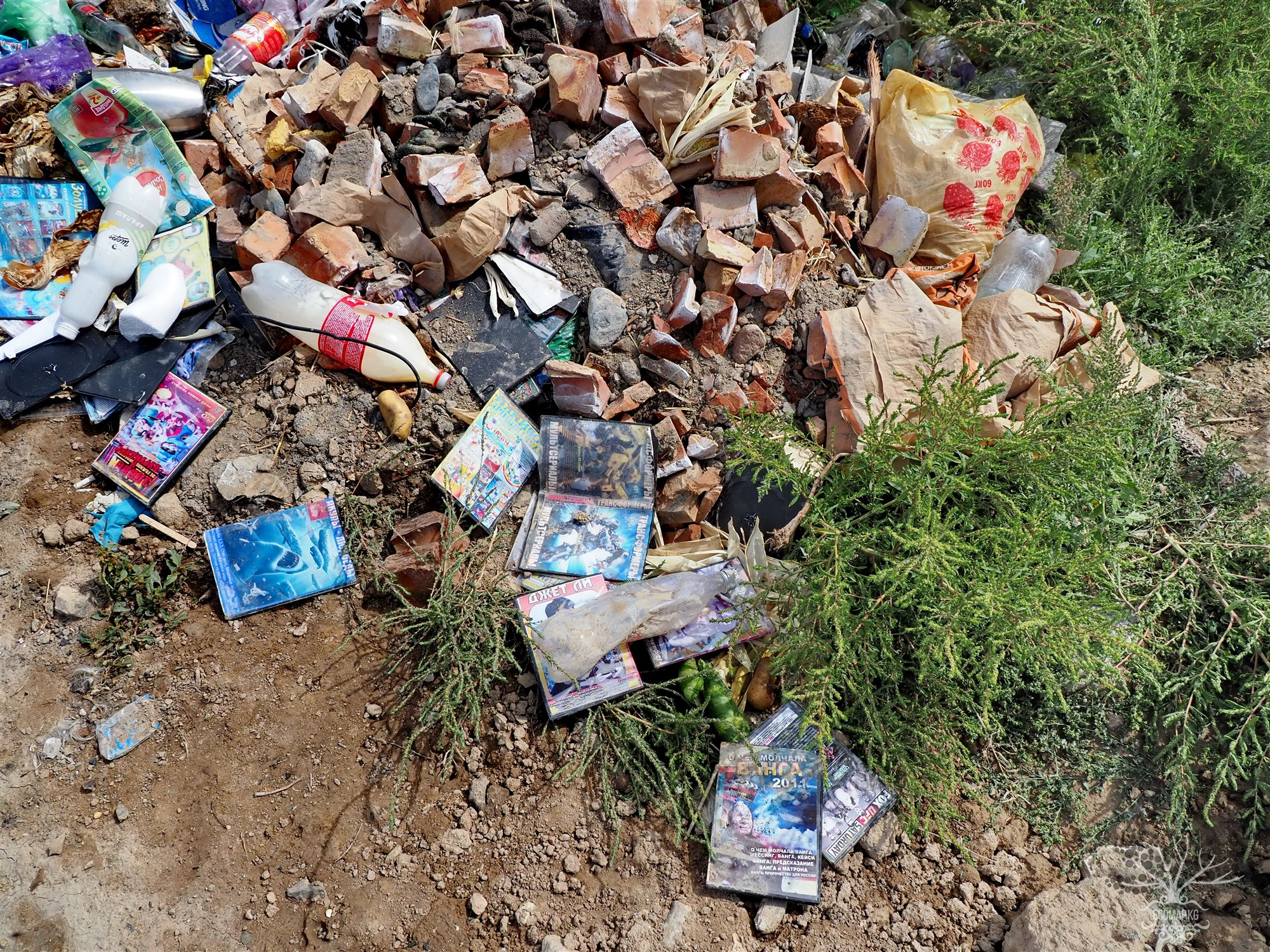
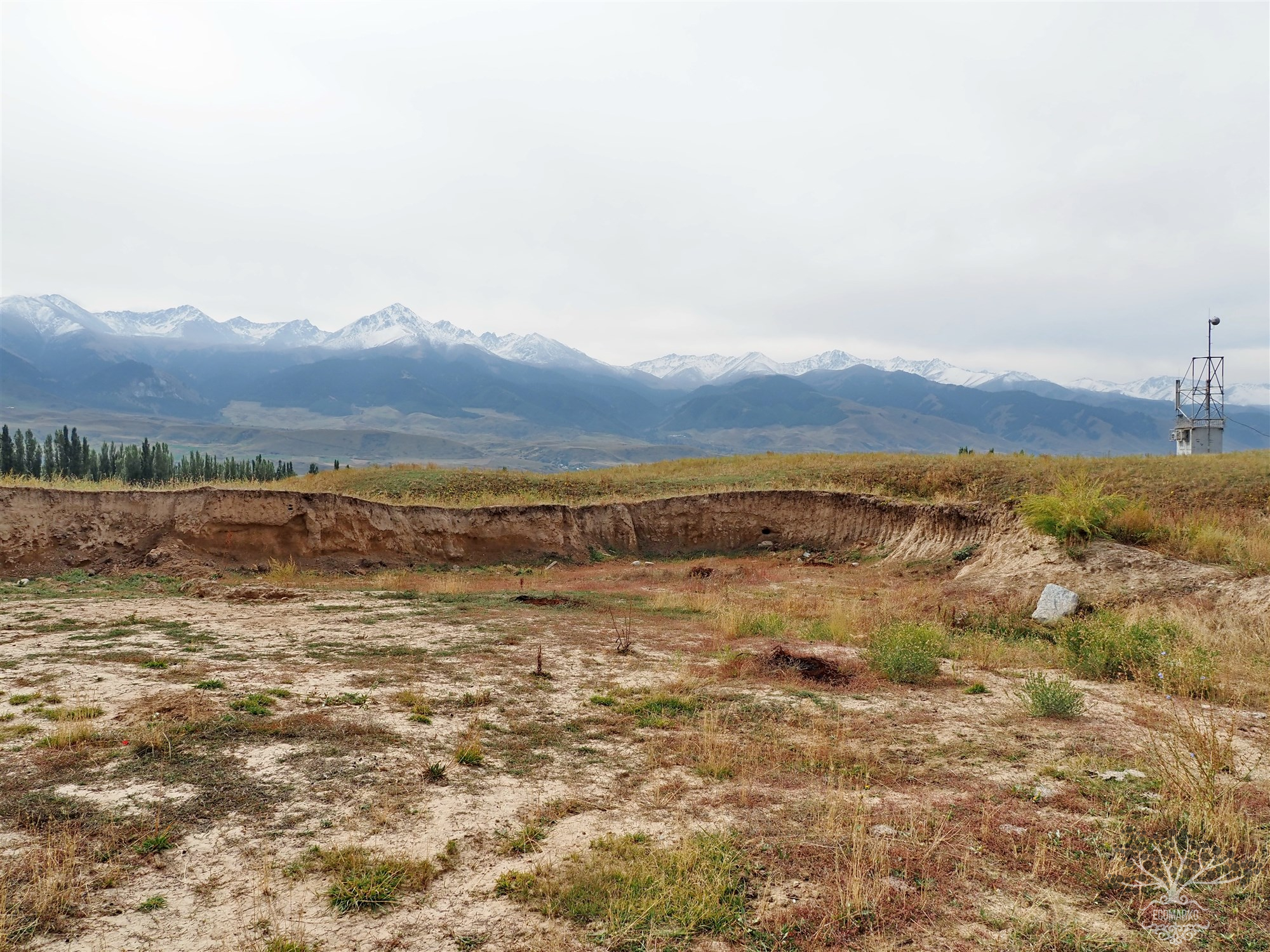
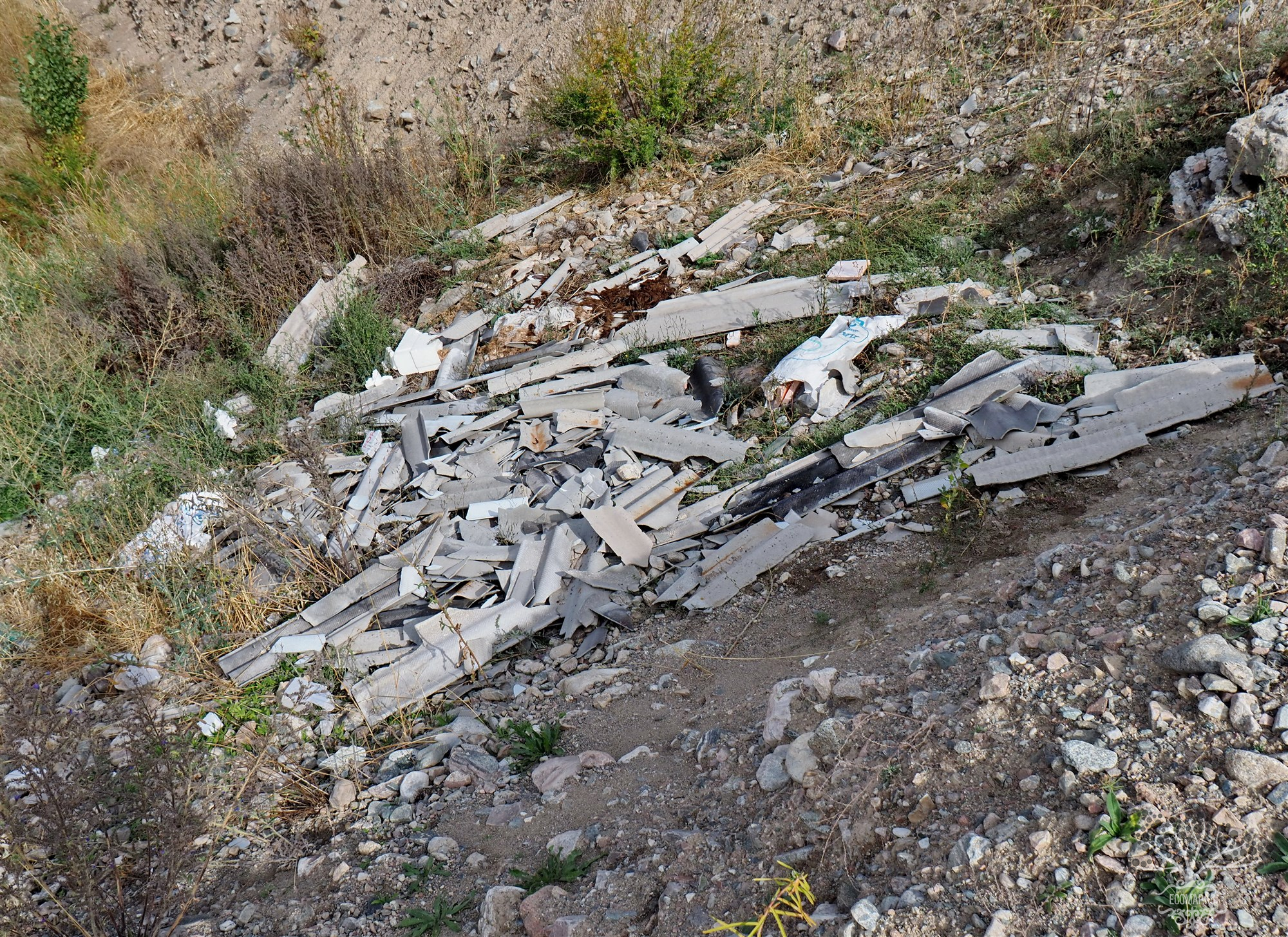
EcoMap.kg » Incidents » Page 16
Industrial Zone

Unreclaimed Industrial Zone Zhelaryk - Road

Coordinates: 42.752360, 75.807203 Unreclaimed industrial areas pose a serious threat to both ecology and human health. These territories, left after the completion of industrial activities, often contain contaminated soils, remnants of hazardous substances, and destroyed infrastructures, making them ecological "hot spots".

Landfill

"Illegal Dumping Site West of the Village of Tört Kül"

Coordinates: 42.700160, 75.991671 Illegal dumps of solid municipal waste (SMW) pose one of the main threats to the environment, especially in terms of soil and groundwater contamination. Since such dumps are not properly managed, the waste stored in them undergoes uncontrolled decomposition, releasing toxic substances into the environment. As a result, both surface and deep layers of soil, as well as aquifers, become contaminated, which can have long-term negative consequences for ecosystems

Landfill

Illegal landfill of solid waste in the village of Shabdan.

Coordinates: 42.746753, 76.069407 Illegal dumps of solid household waste (SHW) represent one of the main threats to the environment, especially in terms of soil and groundwater contamination. Since such dumps are not properly organized, the waste stored in them undergoes uncontrolled decomposition, releasing toxic substances into the environment. As a result, both surface and deep layers of soil, as well as aquifers, become contaminated, which can have long-term negative consequences for

Extraction of inert materials in the Kemin River bed.

Coordinates: 42.745921, 76.132724 Industrial developments for the extraction of inert materials from rivers, such as sand, gravel, and pebbles, play an important role in construction and other industries, but their uncontrolled exploitation leads to serious environmental consequences. This process, carried out in the floodplain areas of rivers and along the riverbed, has a destructive impact on the ecosystem of water bodies, forest areas, and water quality.

Landfill

Illegal dump between Tegirmenti and Kayyndy

Coordinates: 42.751602, 76.160131 Illegal dumps of solid household waste (SHW) pose one of the main threats to the environment, particularly in terms of soil and groundwater contamination. Since such dumps are not properly managed, the waste stored in them undergoes uncontrolled decomposition, releasing toxic substances into the environment. As a result, both surface and deep layers of soil, as well as aquifers, become contaminated, which can have long-term negative consequences for ecosystems

Landfill

Illegal Dumping Site in the Center of the Village of Tegirmenti

Coordinates: 42.759325, 76.154652 Illegal dumps of solid household waste (SHW) represent one of the main threats to the environment, particularly in terms of soil and groundwater pollution. Since such dumps are not properly organized, the waste stored in them undergoes uncontrolled decomposition, releasing toxic substances into the environment. As a result, both surface and deep layers of soil, as well as aquifers, become contaminated, which can have long-term negative consequences for

Extraction of inert materials (white clay) in the village of Tegirmenti

Coordinates: 42.774913, 76.165488 The extraction of inert materials such as clay, sand, and gravel in the mountains causes serious ecological and social problems. These natural resources are widely used in construction, cement production, brick making, and other industrial materials; however, their extraction leads to the destruction of mountain landscapes, disruption of ecosystems, and deterioration of environmental quality. In mountains where ecosystems are particularly fragile and crucial

Landfill

Spontaneous Dump at the Site of Inert Material Extraction in the Village of Tegirmenti

Coordinates: 42.773271, 76.166282 Illegal dumps of solid household waste (SHW) represent one of the main threats to the environment, particularly in terms of soil and groundwater contamination. Since such dumps are not properly organized, the waste stored in them undergoes uncontrolled decomposition, releasing toxic substances into the environment. As a result, both surface and deep layers of soil, as well as aquifers, become contaminated, which can have long-term negative consequences for

Landfill

Central Dump of Kemin.

Coordinates: 42.758323, 75.679886 Illegal dumps of solid household waste (SHW) pose one of the main threats to the environment, particularly in terms of soil and groundwater contamination. Since such dumps are not properly arranged, the waste stored in them undergoes uncontrolled decomposition, releasing toxic substances into the environment. As a result, both surface and deeper layers of soil, as well as aquifers, become contaminated, which can have long-term negative consequences for

Industrial Zone

Unreclaimed industrial zone of the village of Kemin

Coordinates: 42.780757, 75.675443 Unreclaimed industrial areas pose a serious threat to both ecology and human health. These territories, left after the completion of industrial activities, often contain contaminated soils, remnants of hazardous substances, and destroyed infrastructure, making them ecological "hot spots."

Продолжая просматривать сайт ecomap.kg вы принимаете правила сайта.
ОК
[/not-static]

Embed the map on your site

Just copy this code and paste it on your website. The map will update automatically.