Destruction of the Natural Monument Urchuk-Tash


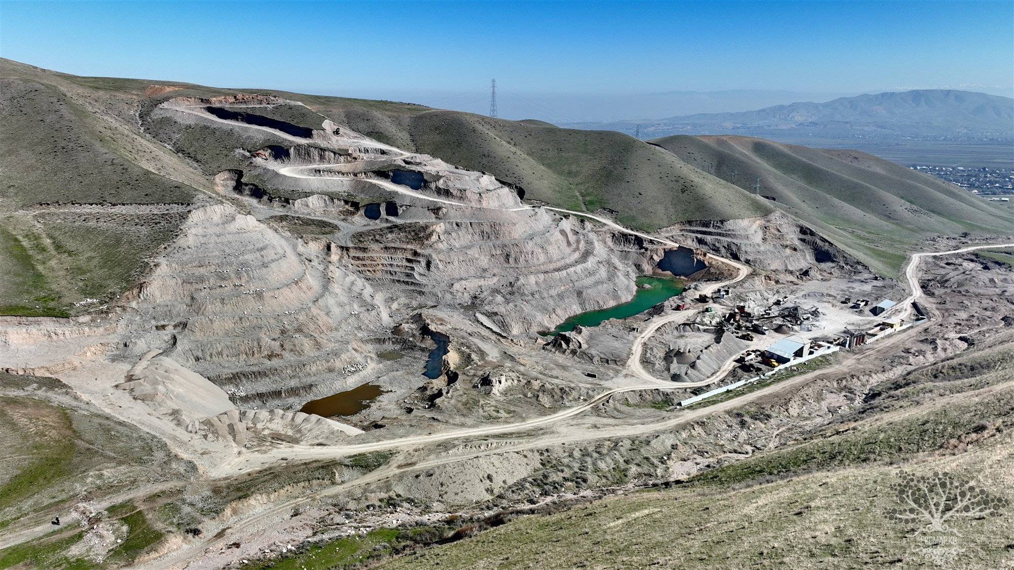
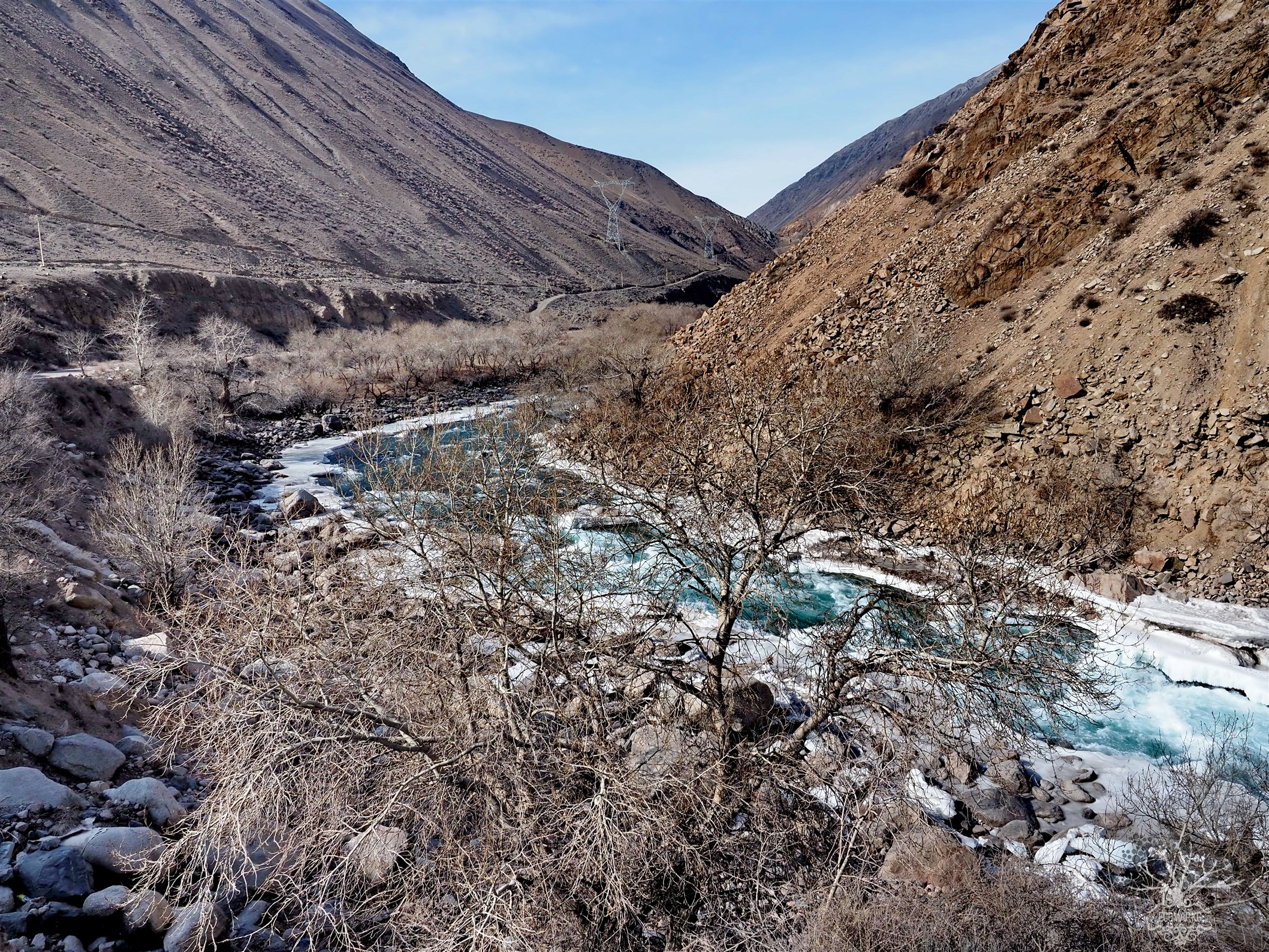
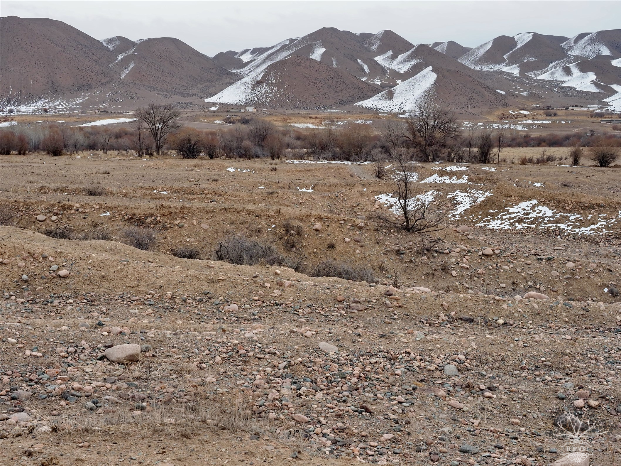
“Urchuk-Tash” (translated from Kyrgyz as “urchuk” — a spur of a mountain descending in a narrow strip; “tash” — stone) is nothing more than an anticlinal fold — a consequence of a deep tectonic fault in the Earth's crust. In the fault zone, over an area of 15-20 square kilometers, underground forces have gifted us with a natural chronicle of the Earth spanning 200 million years. Here, in the fault zone, one can see traces of ancient seas, remnants of volcanic activity, fossilized remains, and rare geomorphological landscapes. Our Earth's crust consists of enormous tectonic plates. And it was here that two such plates collided at the site of our Tash-Kumyr, forming this unique natural monument.
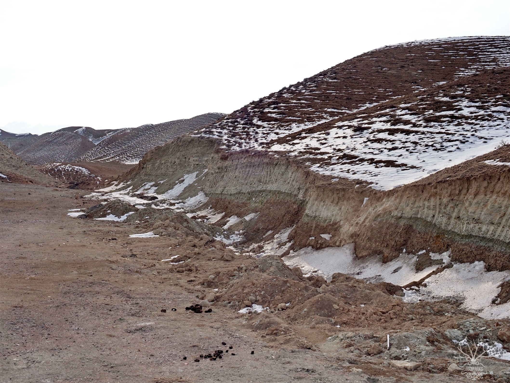
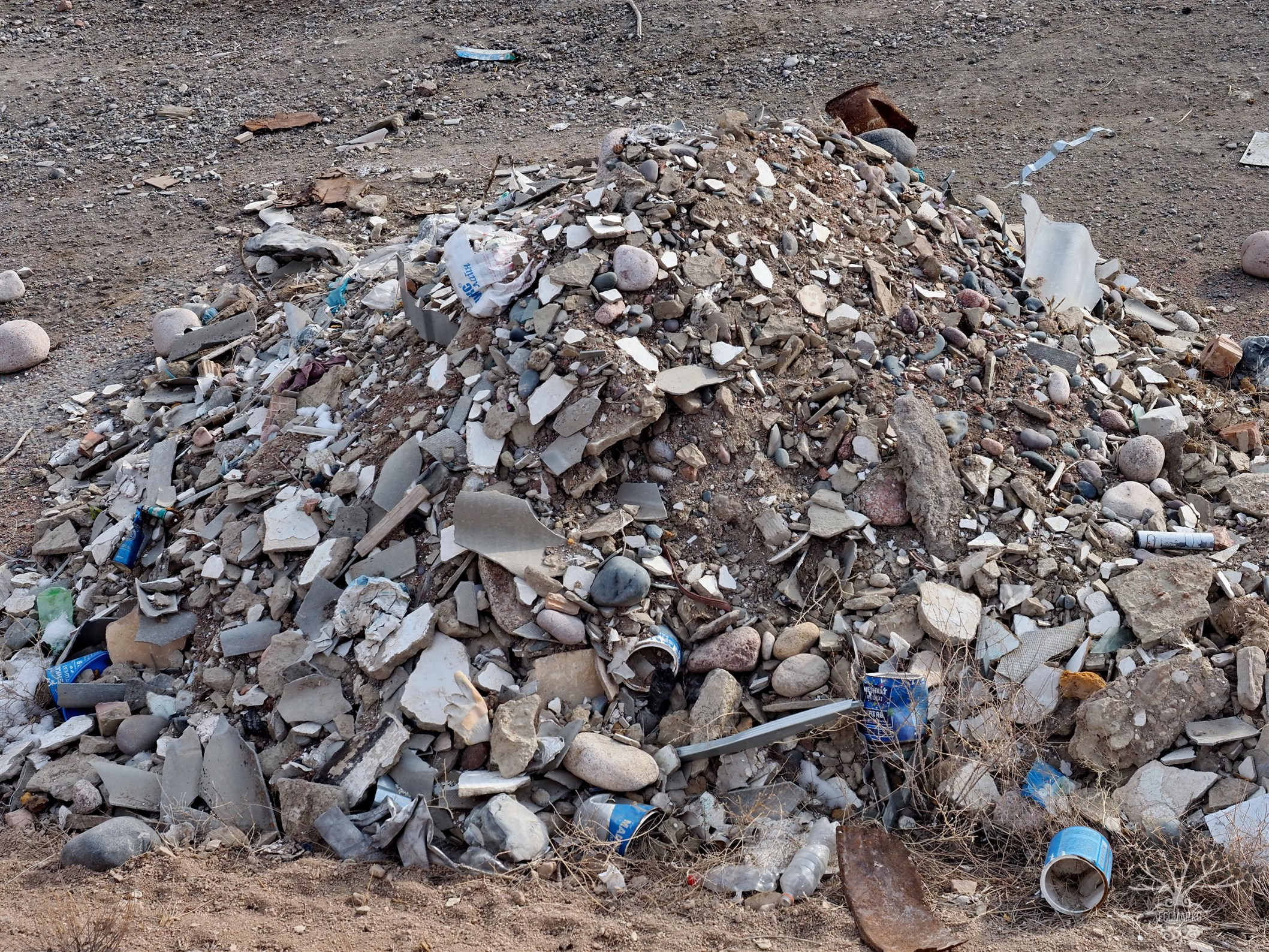
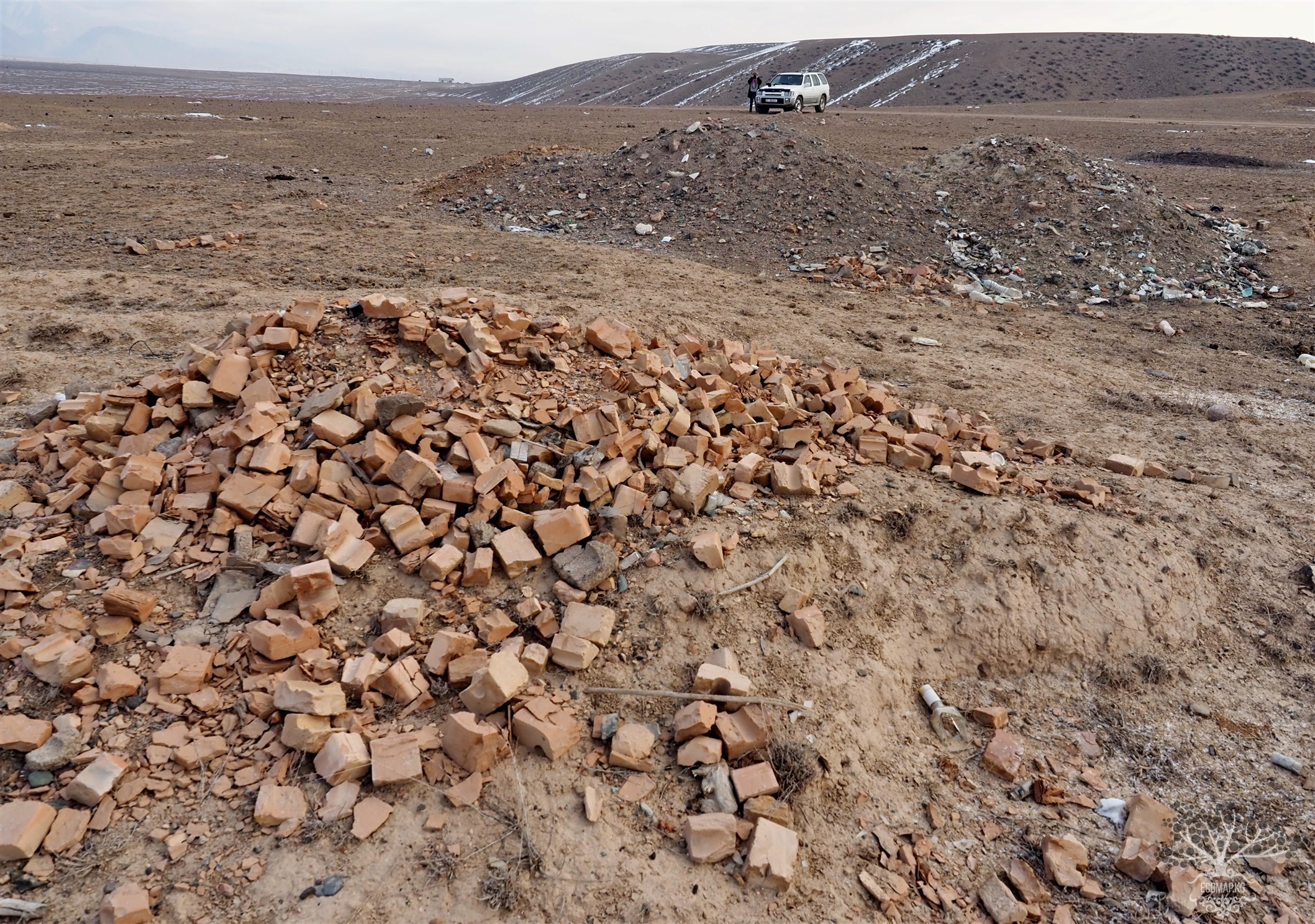
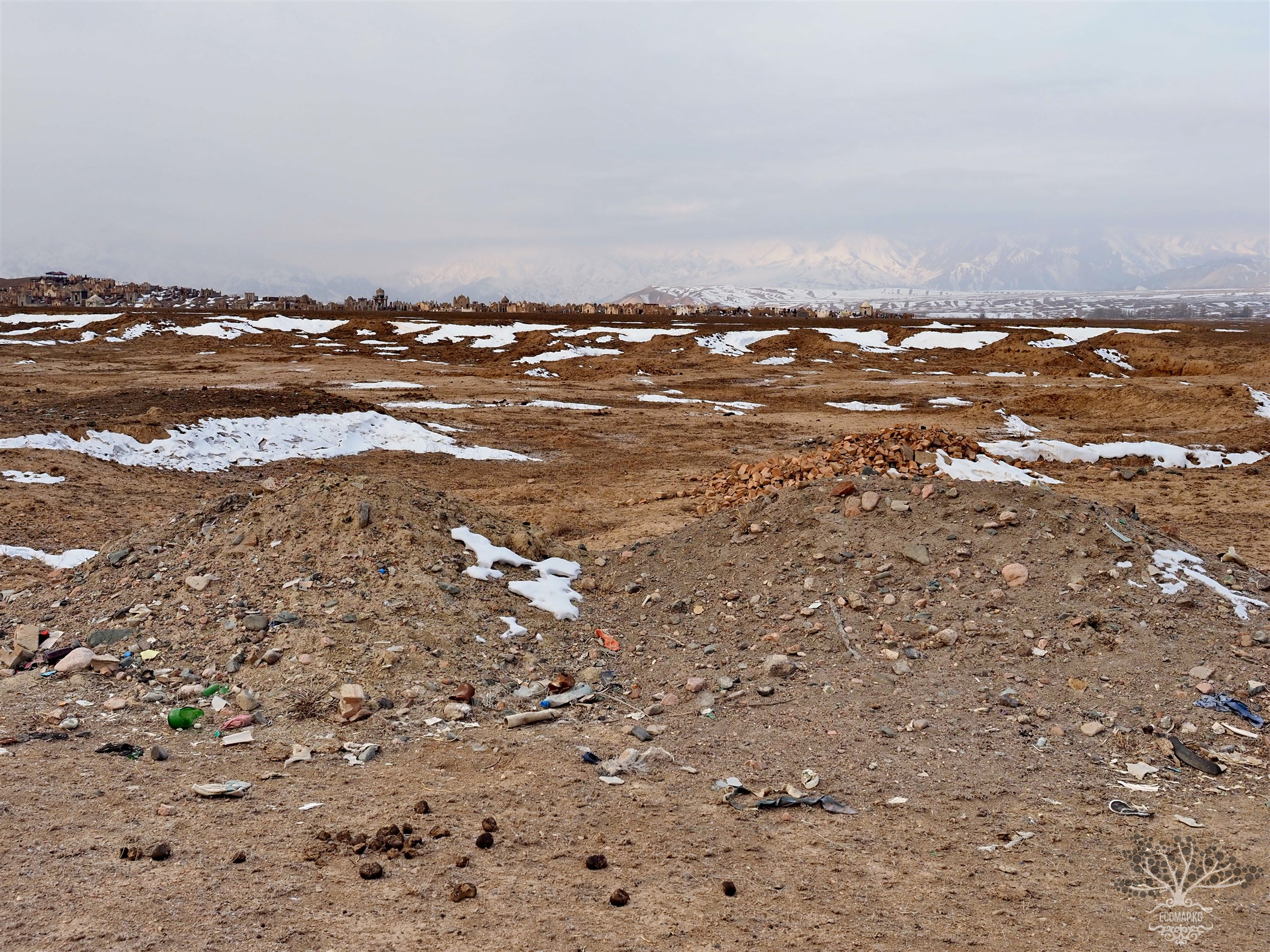
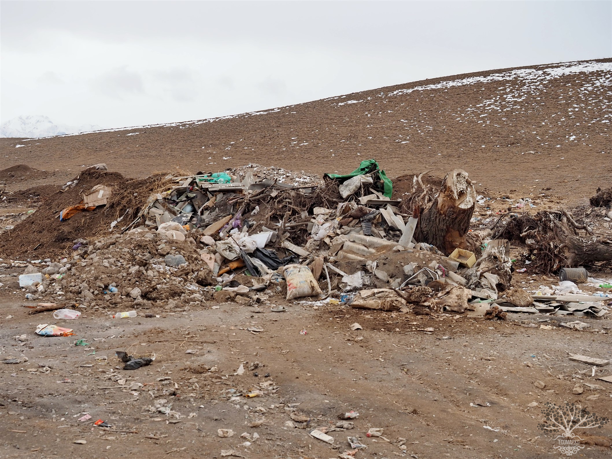
Unfortunately, at present, mining of minerals (including illegal mining) is taking place in the vicinity of the paleopark, with local residents using sand and gravel material for their construction projects or private homes. Limestone extraction is actively underway. This rare ancient tectonic fault is literally being broken into blocks by mining companies and transported to neighboring countries. Local eco-activists have repeatedly raised the issue of preserving this natural monument, where some endemics also grow. A few years ago, the State Agency for Environmental Protection and Forestry spoke about the necessity of obtaining protected area status for the “Urchuk-Tash” zone.
However, the State Agency for Geology and Mineral Resources claims that creating a specially protected area there is not advisable. The city administration of Tash-Kumyr responded that the land on which Urchuk-Tash is located belongs to the Aksy district of the Jalal-Abad region and is administratively not subordinate to the city. While the resolution of the issue is being delayed, the unique tectonic fault of Urchuk-Tash may disappear.
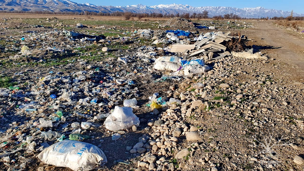
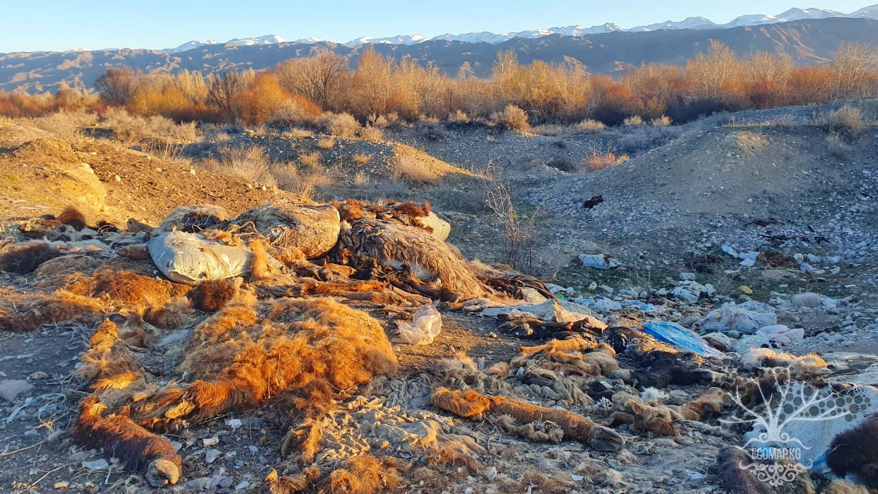
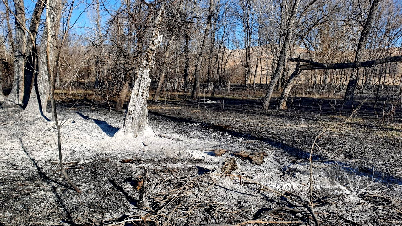


Attention: Information based on submitted complaints