Radiological Situation in the Area of the Former Radium Mine "Tuya-Muyun". Fersman Cave
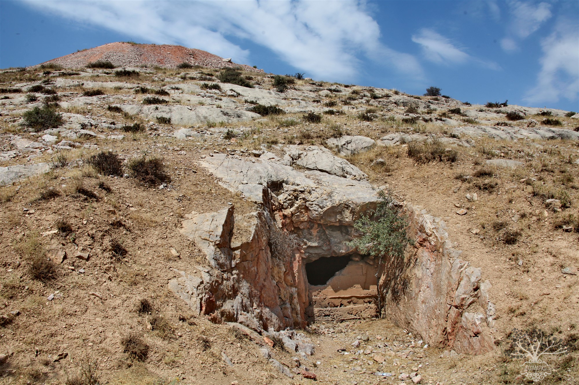
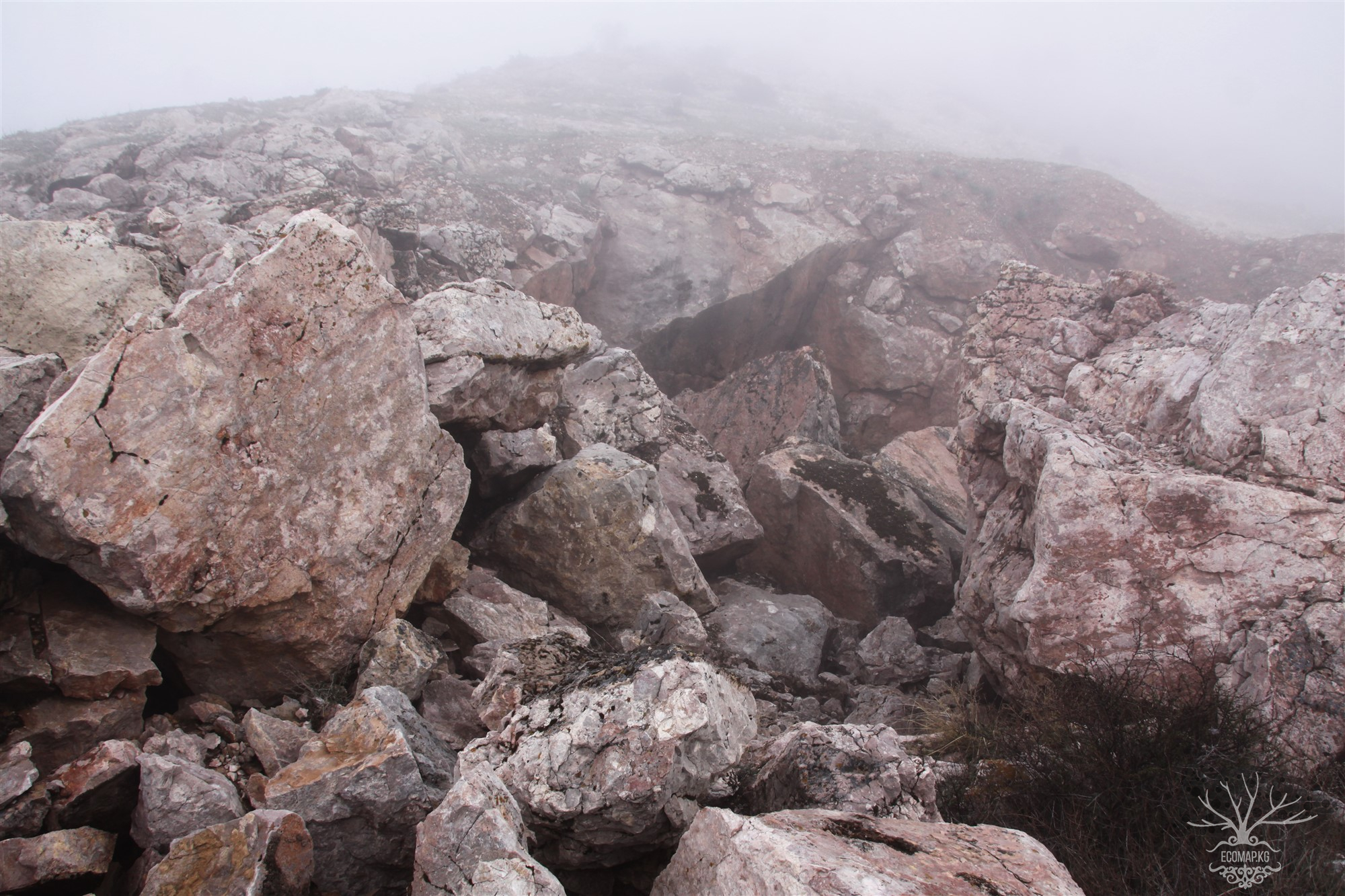

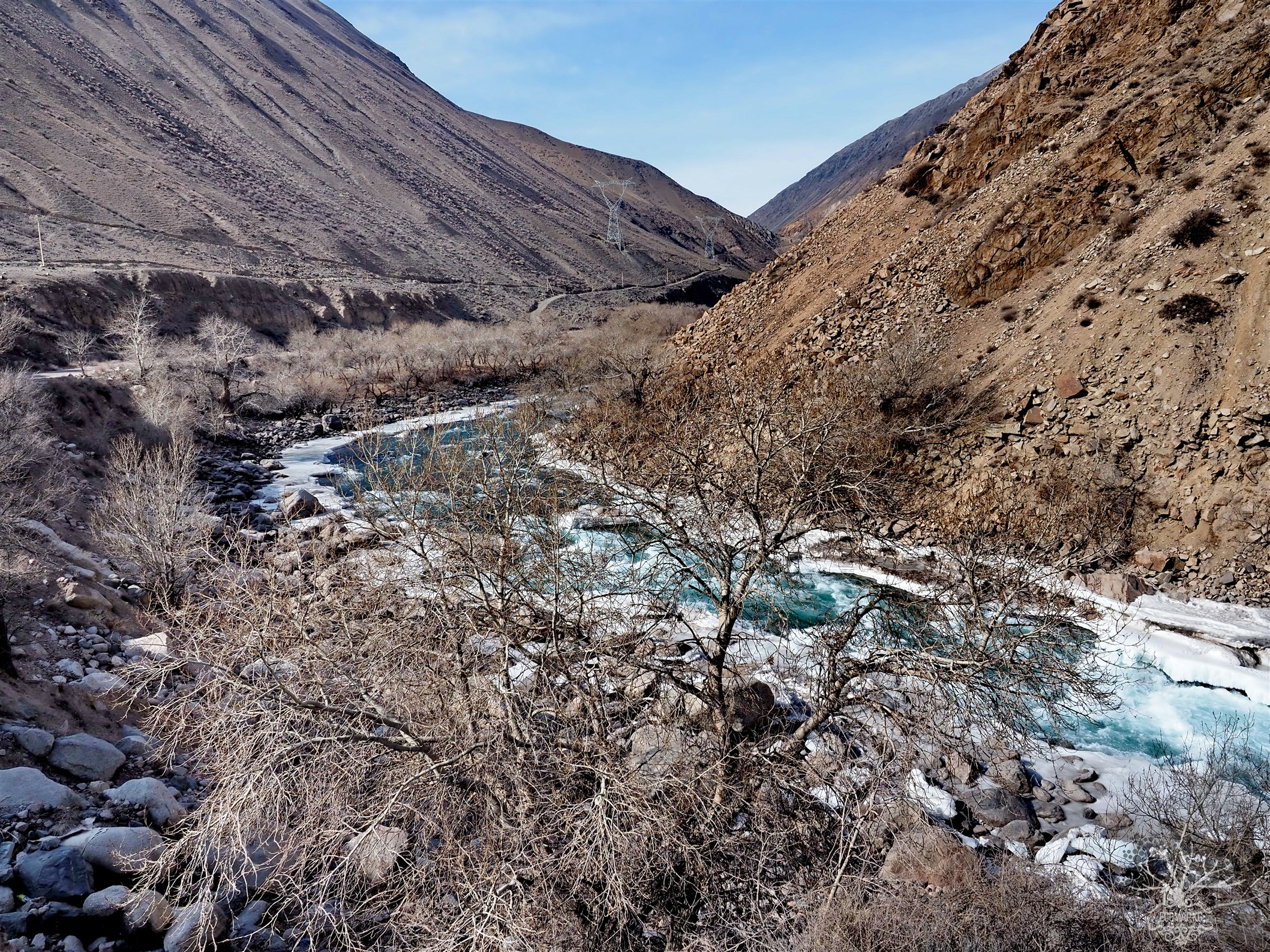
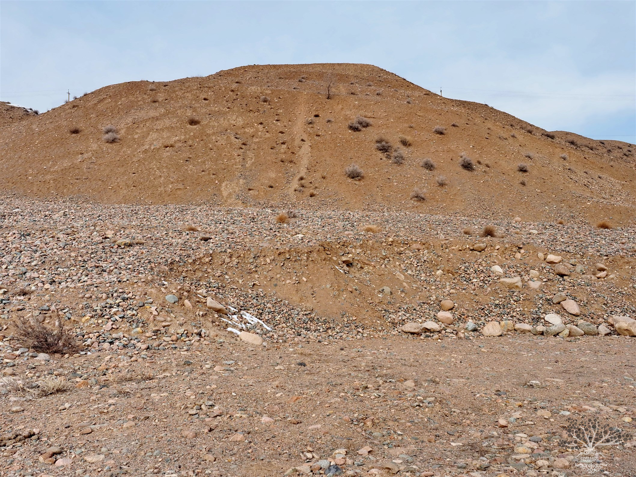
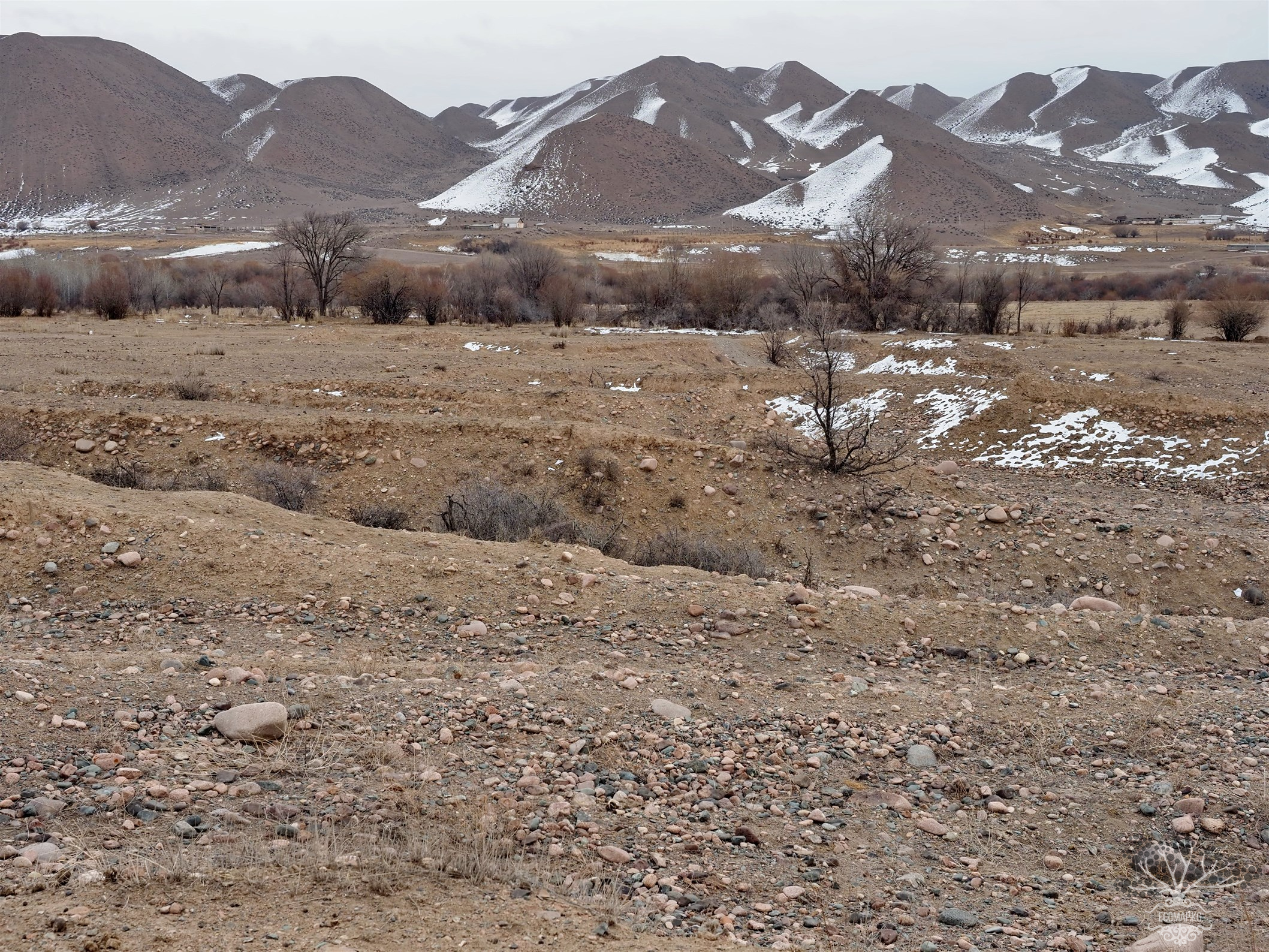
The Tuyamuyun massif is a latitudinally elongated block of Lower Carboniferous massive limestones up to 600 m wide. The limestones are almost vertically inclined, broken into blocks, marbleized, brecciated, and cut by calcite veins. They are trapped between the rocks of the Paleozoic strata (coal and clay shales, sandstones, siliceous shales, effusive rocks), separated from them by faults. The surface of the massif is a gently sloping plateau to the north with an average absolute height of 1400 m. The Aravan River cuts through the massif, forming a narrow canyon called Dangi, approximately 300 m deep. The exposed karst of the massif is represented only by widened cracks and small niches.
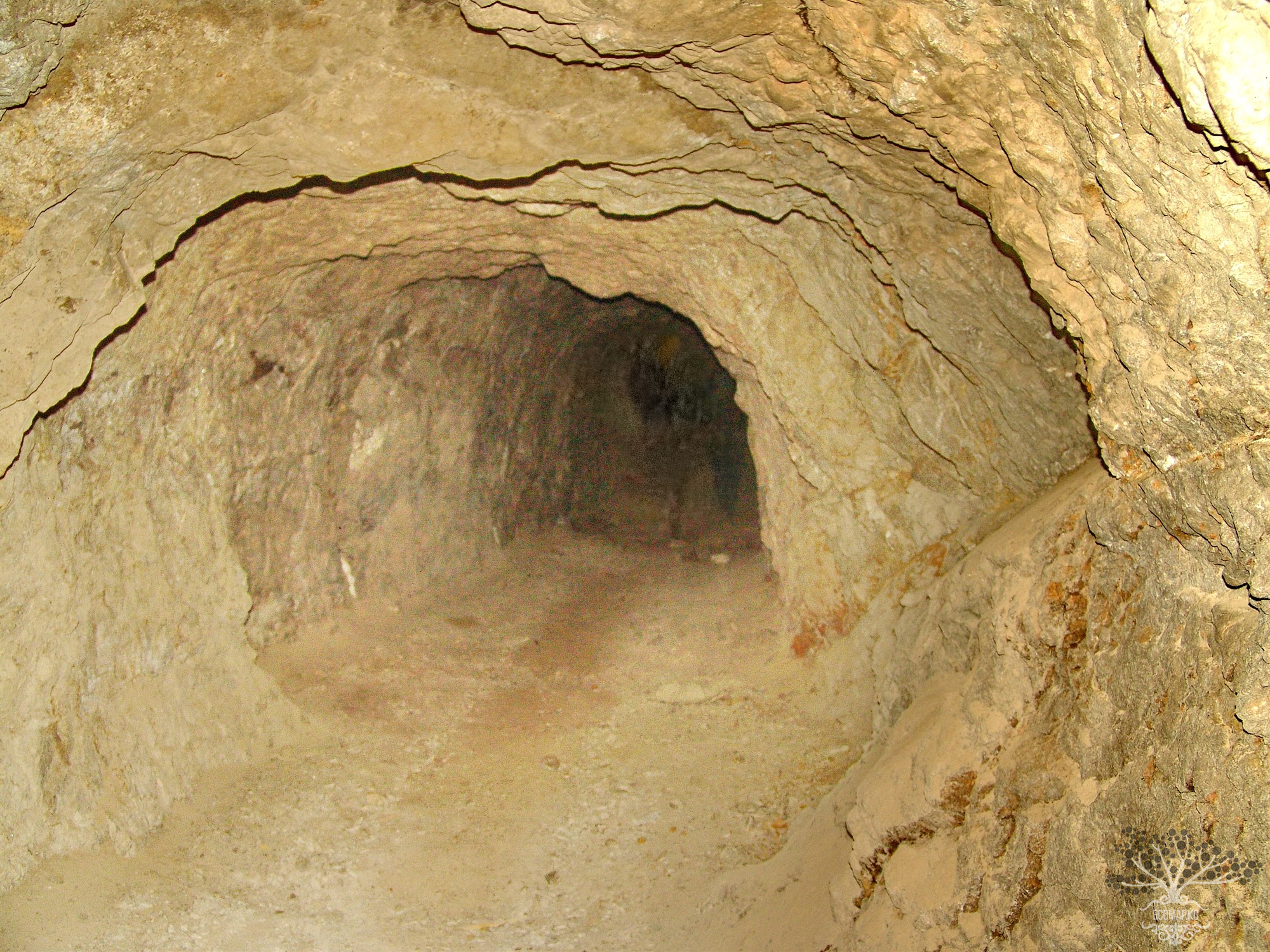
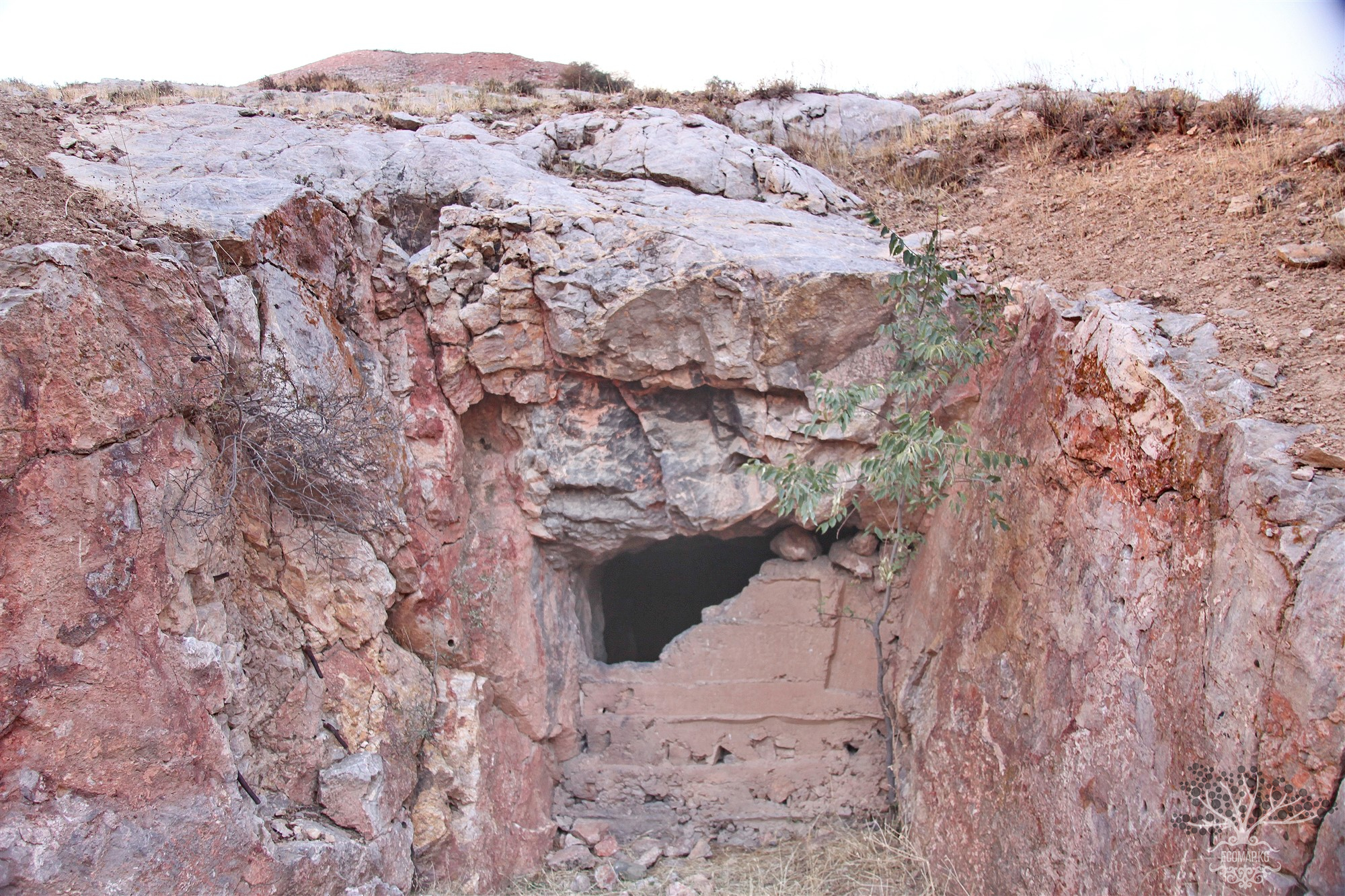
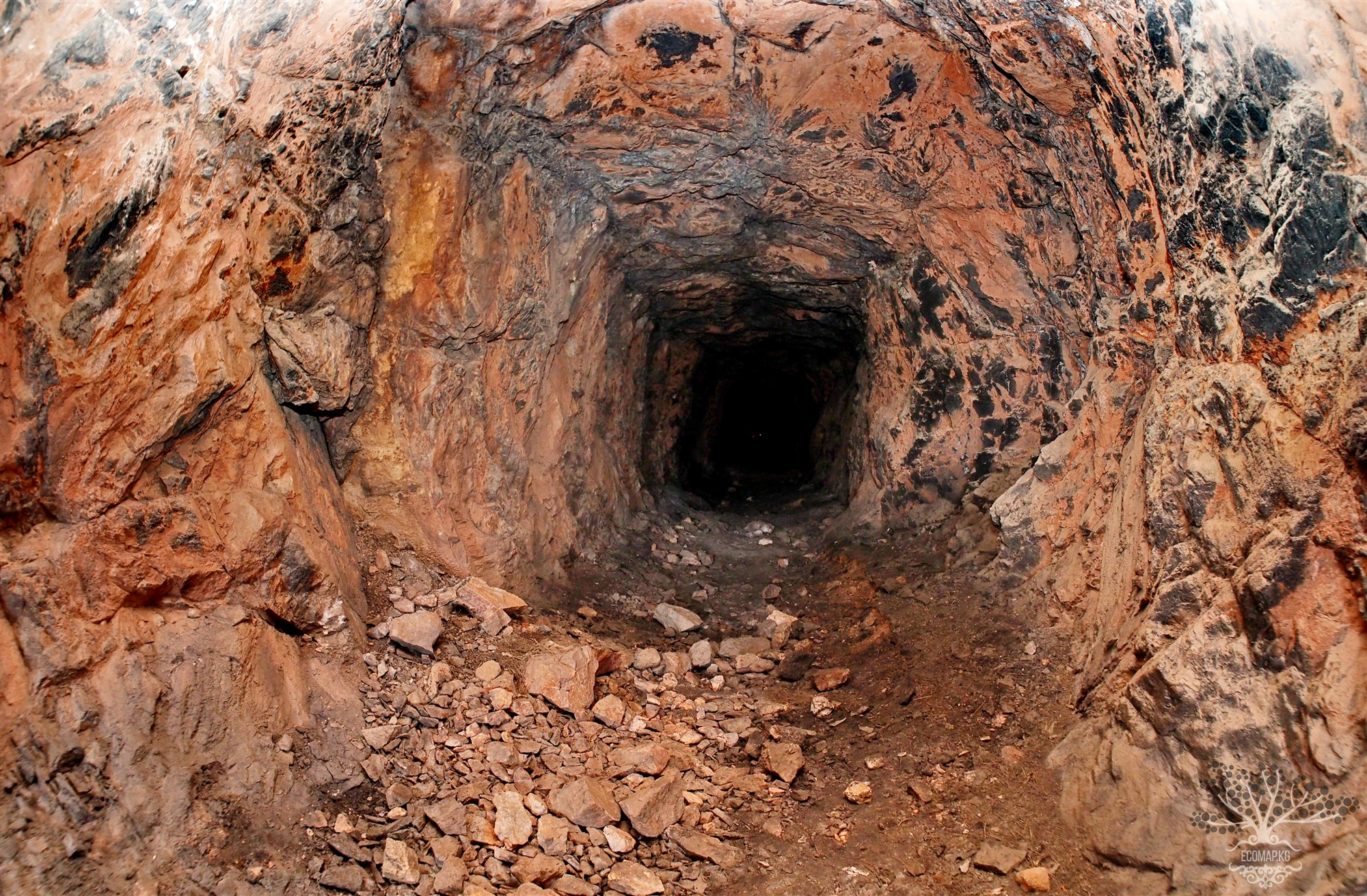
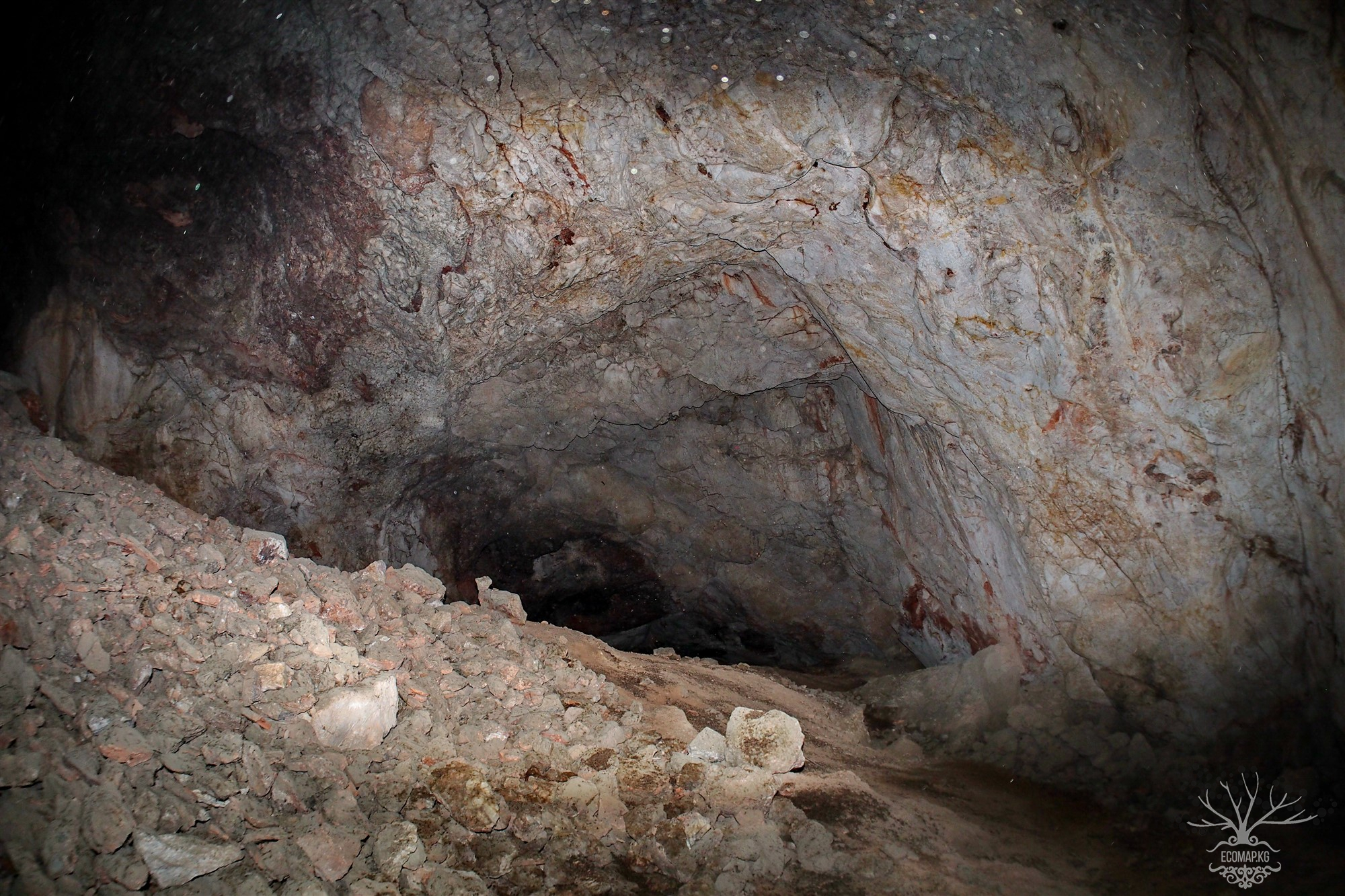
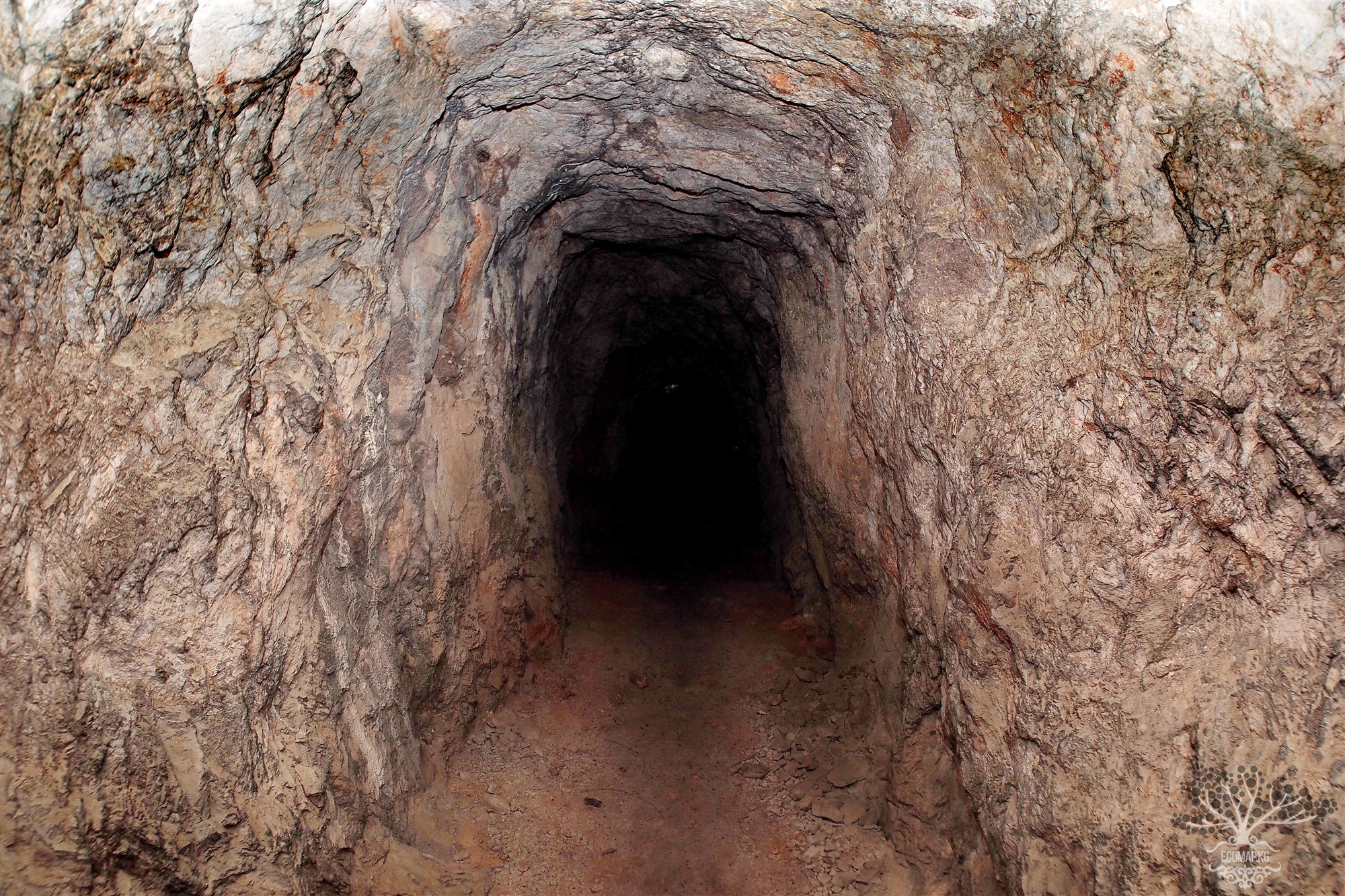
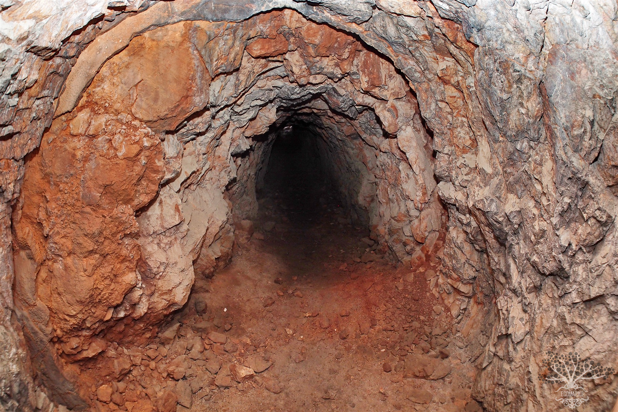
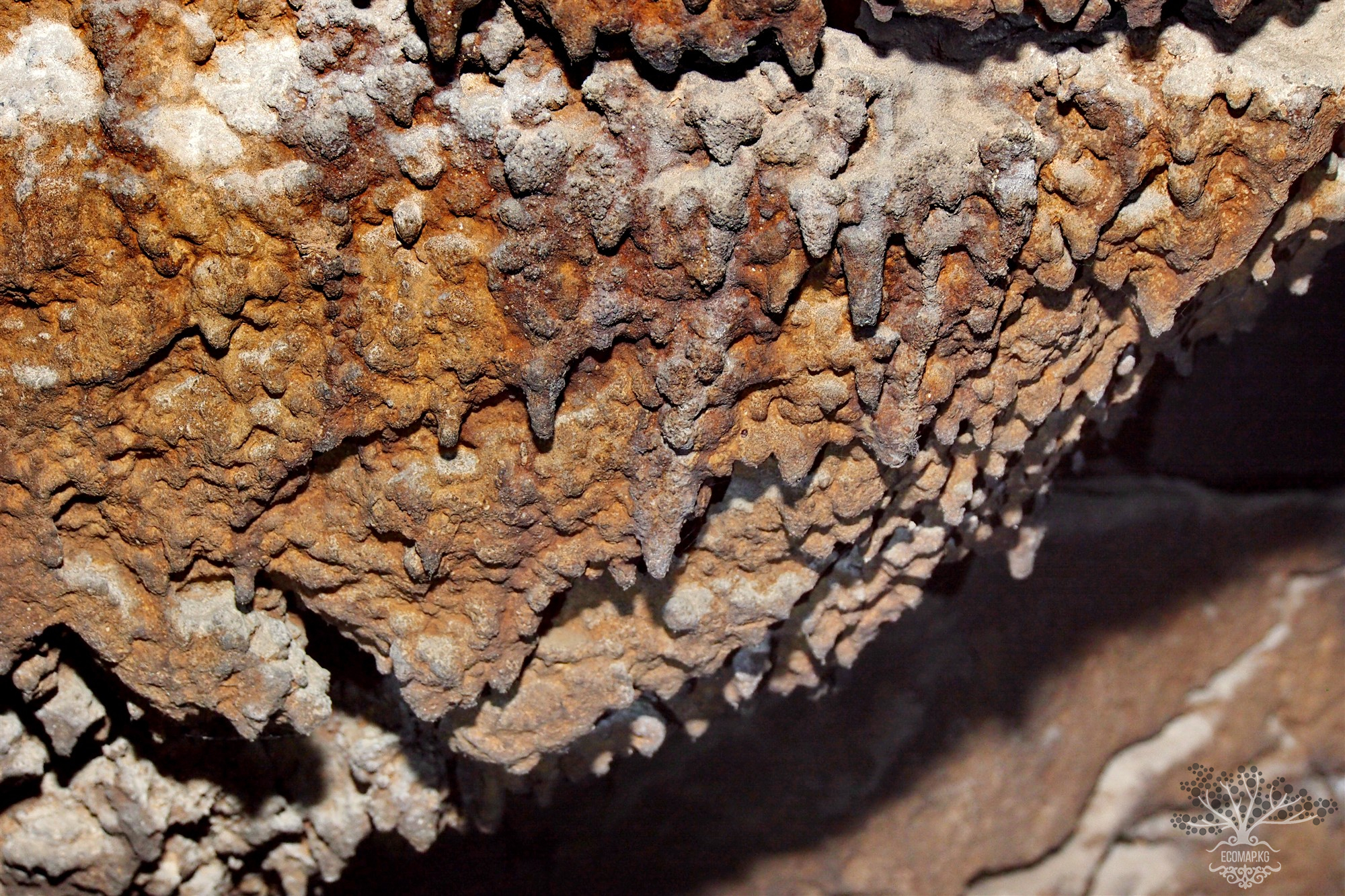
It has been established that the Teo-Muyun deposit is a system of tubular and cave-like cavities of karst type formed by the ore body. Large underground forms are represented by five caves, as well as several small fragments of cavities, partially or completely filled in as a result of mining and geological work at the Teo-Muyun mine. The first domestic standard of radium was made from Tuyamuyun ore due to the absence of thorium contamination. The extraction of the deposit was carried out underground and was halted due to the abundance of groundwater at a depth of 220 m. Later, on May 9, 1977, a speleologist discovered caves known as Pobeda, Fersman, Bolshaya Baritovaya, Azhidaar-Unkur, and Chon-Unkur, which attract tourists.
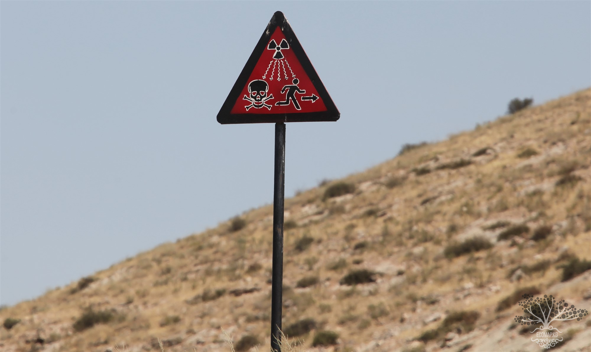
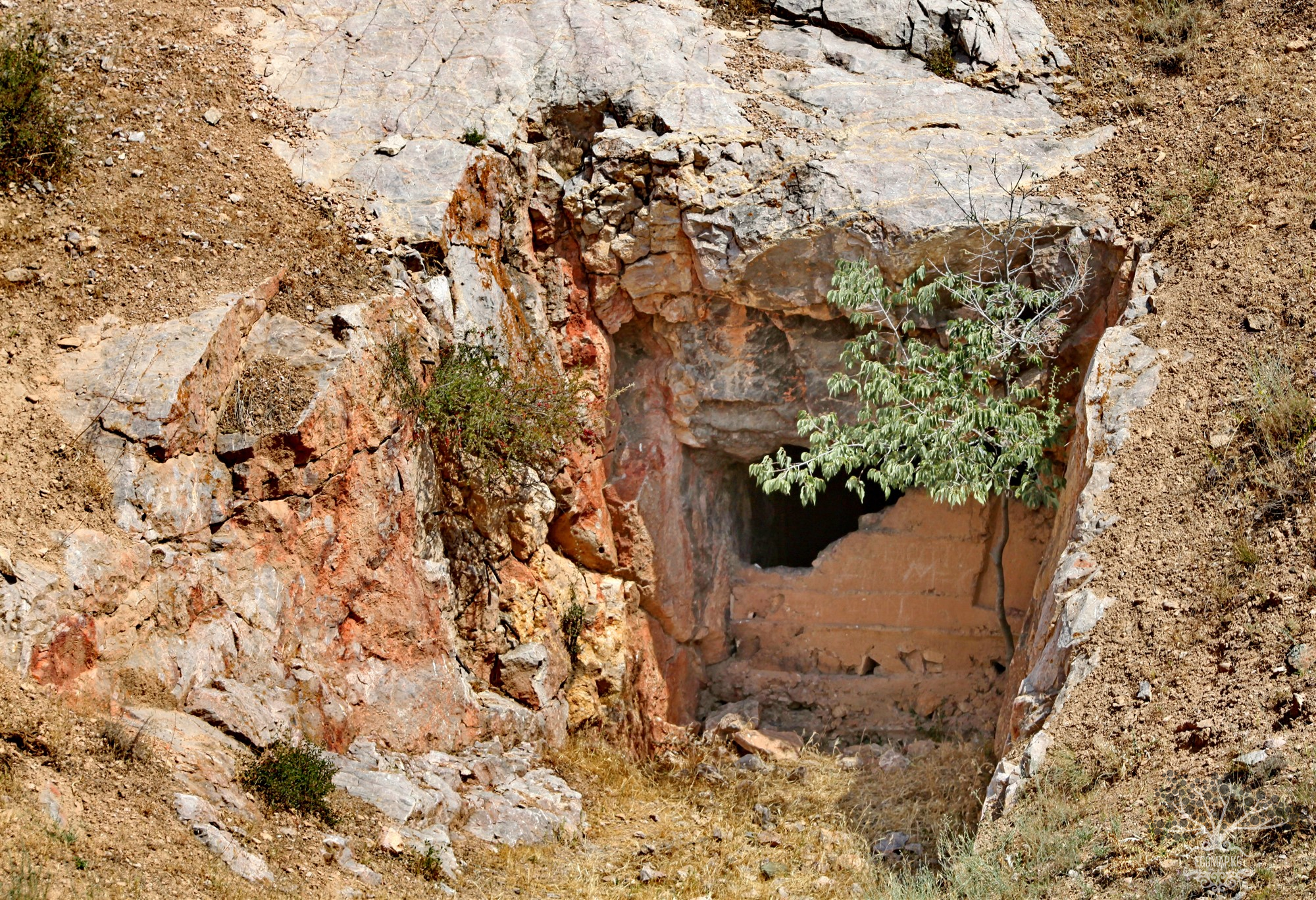
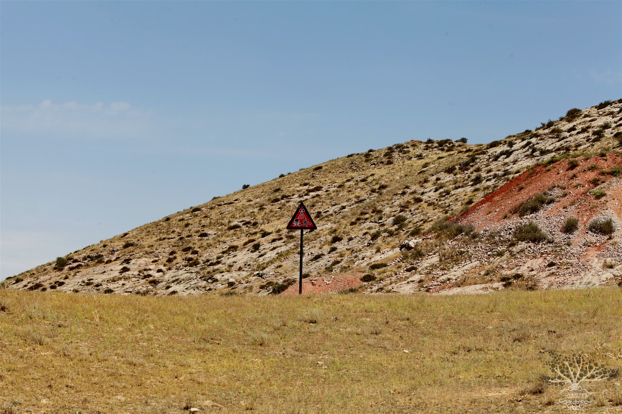
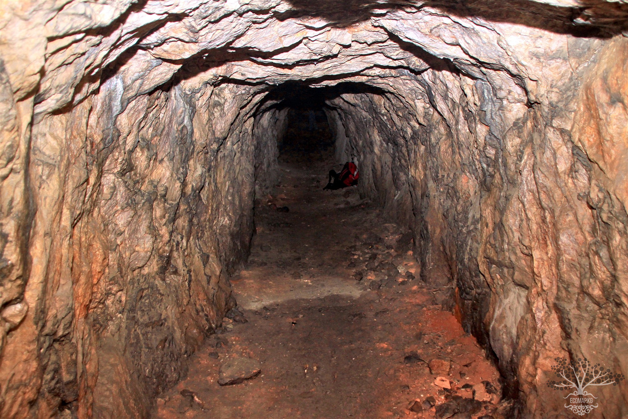
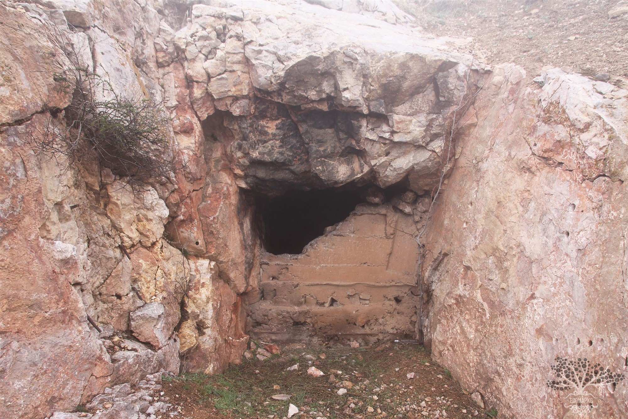
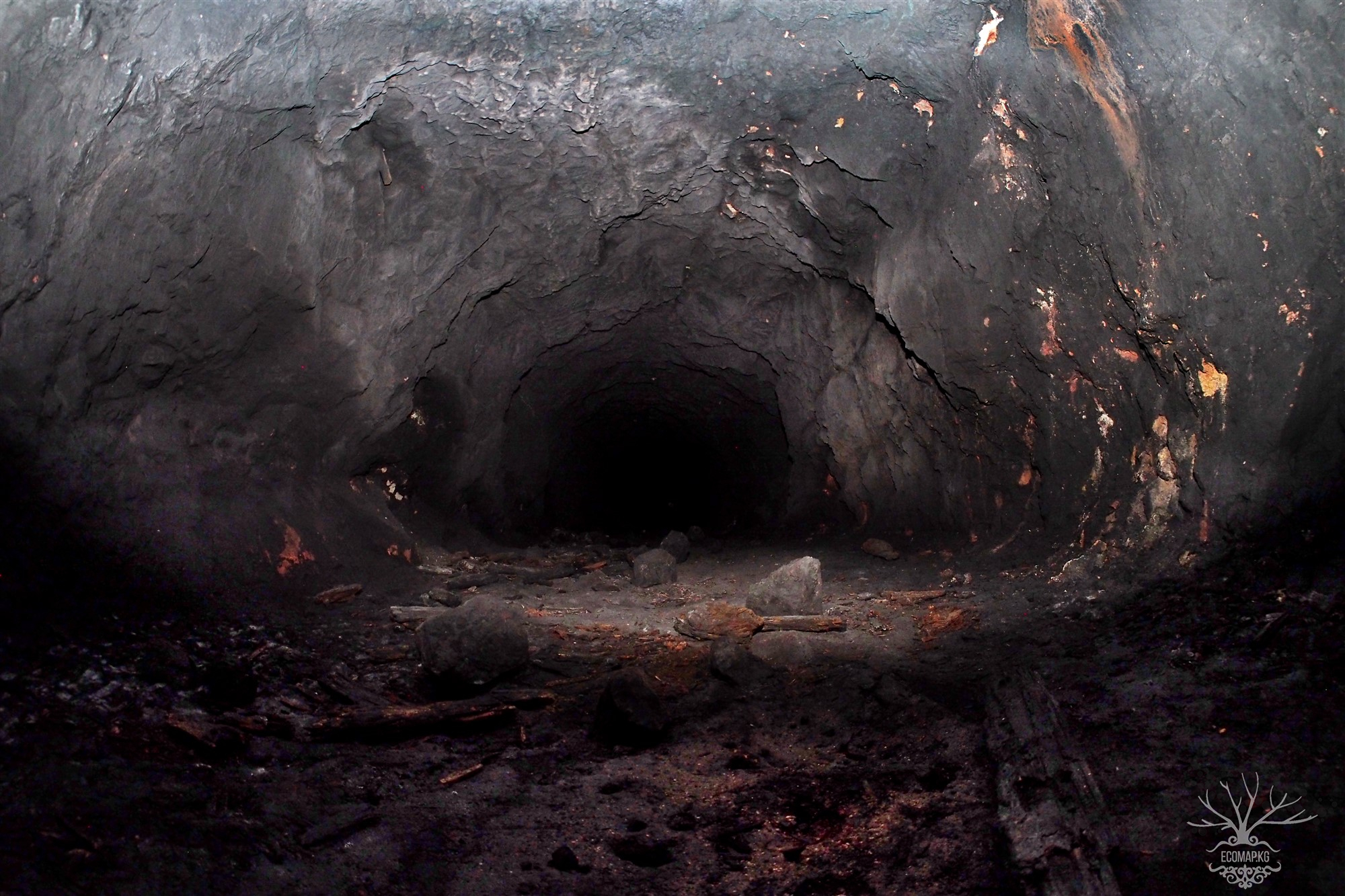
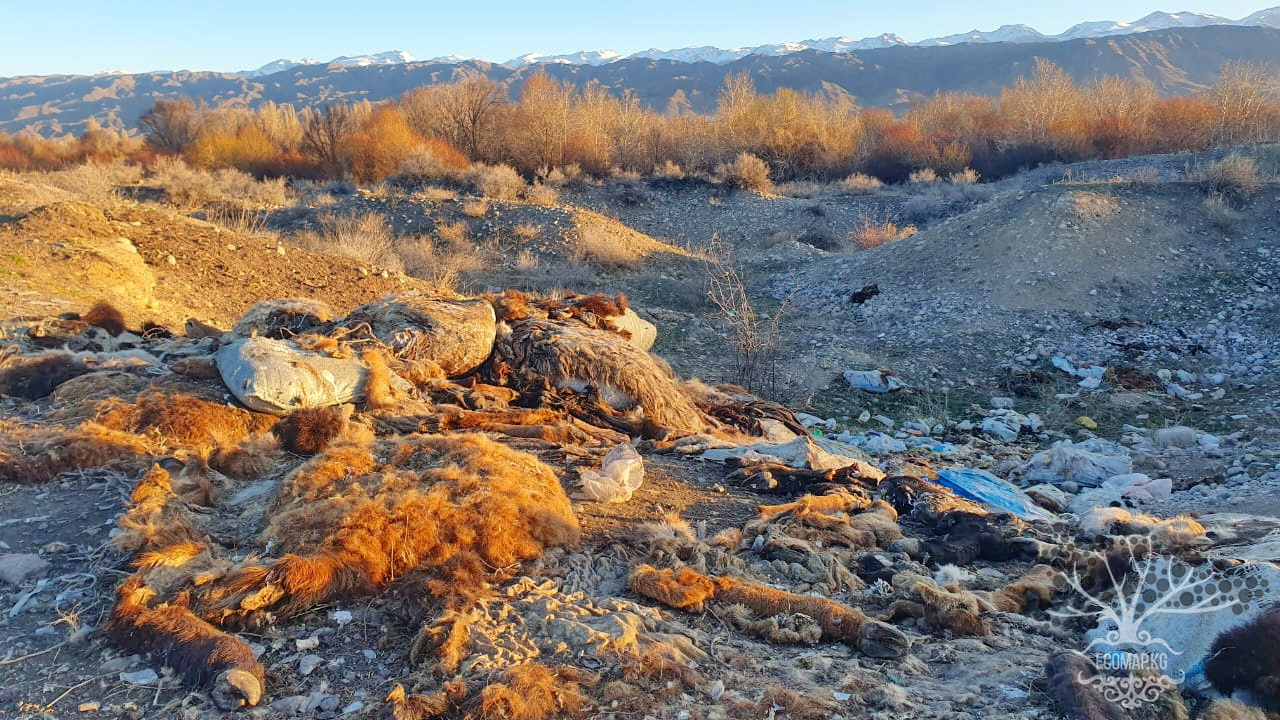
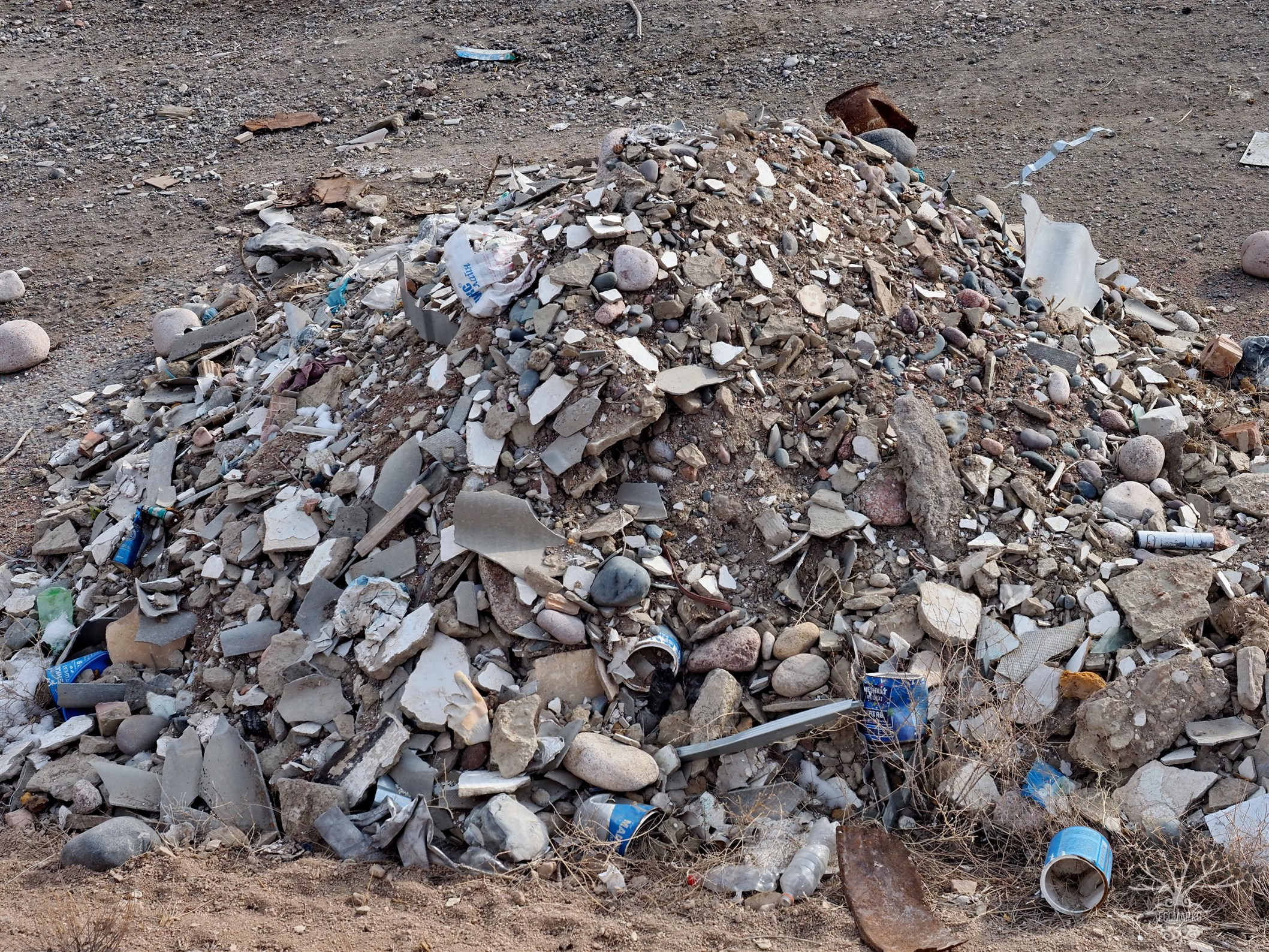
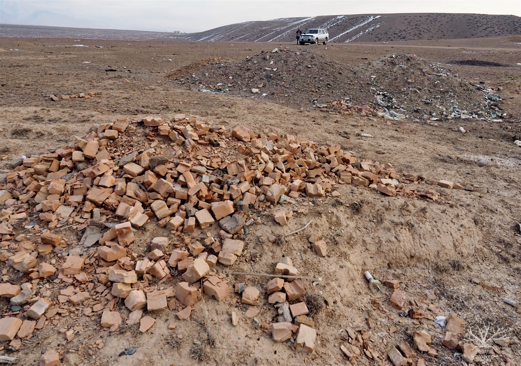
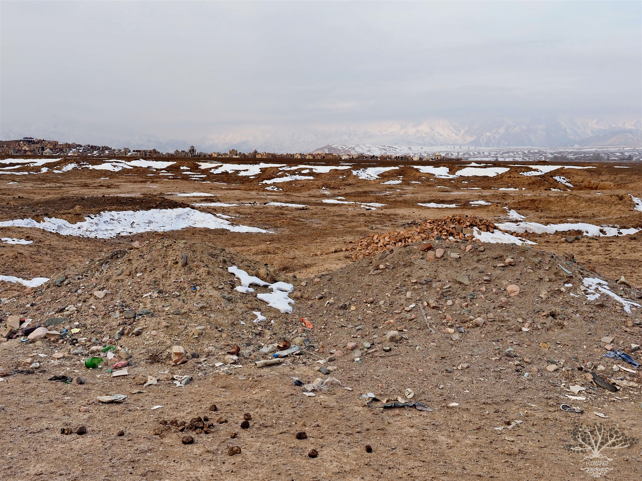
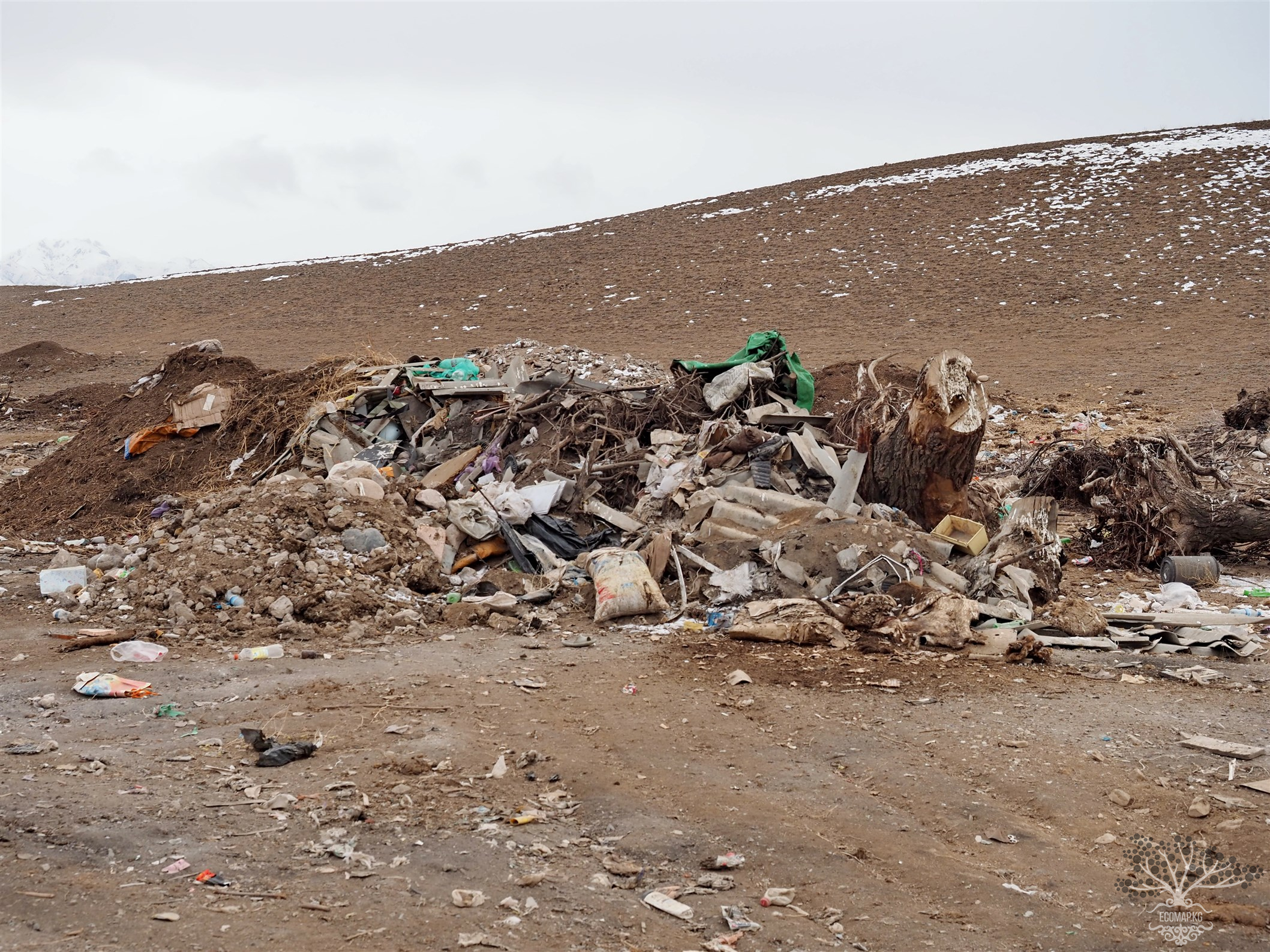
By the end of the 1950s, it was depleted and closed; the entrances to the adits were blown up or sealed. Often, the mine shafts, tunnels, and adits remained open and accessible to the local population and livestock. The dumps of waste rock and poor ores, as well as tailings, often remain uncovered and are exposed to adverse weather conditions. Rainwater and groundwater entering the mine systems, dumps, and landfills become contaminated and can later be used as drinking water or irrigation water. The radiation hazard was posed only by cavities close to ore bodies containing radioactive minerals or hydrothermal cavities filled with such minerals. For example, in 1989, during the work in Fersman Cave, where the first radium in the USSR was discovered, the International Tuyamuyun Expedition had to issue radiation control cards to all participants.
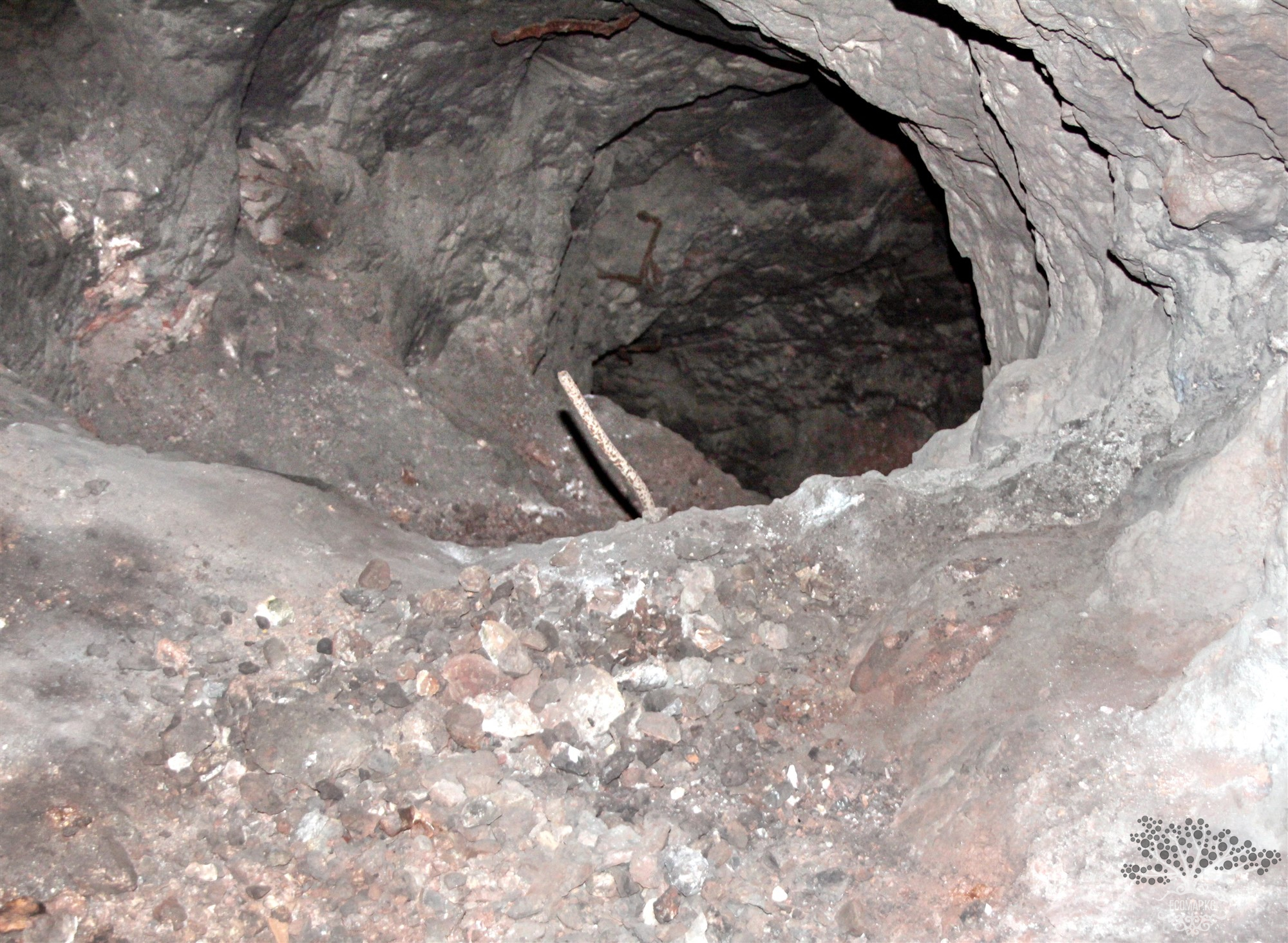
During radiometric measurements in Fersman Cave, it was found that all shelves before the main large wells radiate three times stronger than the main background of the cave, up to 900 mR/h. Somewhere at a depth of 150 meters in the adit leading to the central shaft, red clay collapsed (it was not there until 2006); stay away from it as the last scale of the 10,000 instrument was off the charts. This is very dangerous.
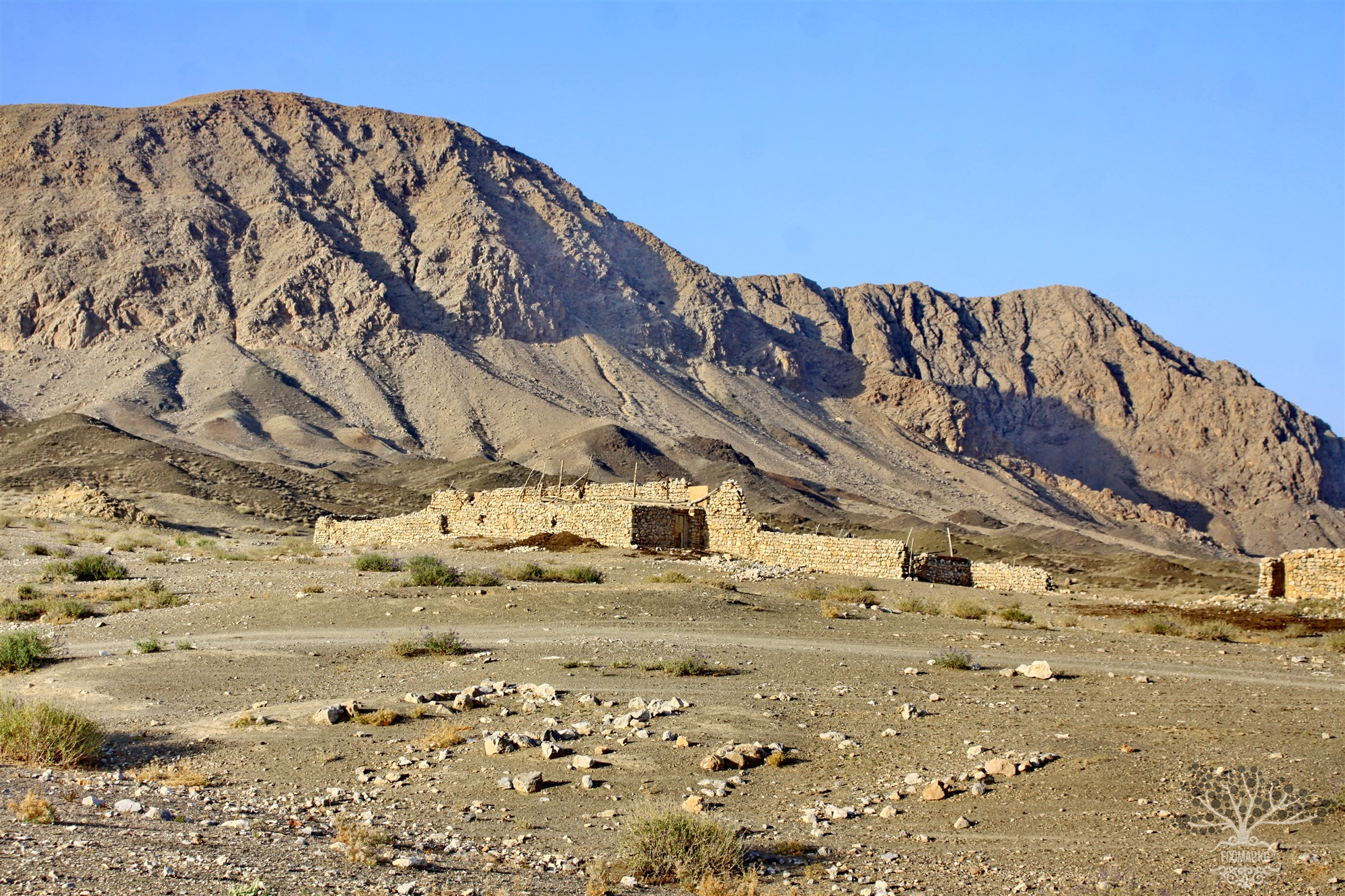
Nowadays, Mount "Akademicheskaya" conceals a labyrinth of workings from ancient miners, shafts, and drifts of the radium mine, as well as natural karst cavities. One of the adits of the mine leads to "Fersman Cave." All of this attracts speleologists and tourists. On the slopes of the mountain, residents of the neighboring village graze their herds. But few know about the dangers awaiting people here. Many thousands of years will still see the dumps of the mine "glow." All entrances to the underground labyrinths of Tuyamuyun are open; anyone can climb in, whether for scrap metal or simply out of curiosity. Unfortunately, when the mine was closed in the difficult forties of the last century, little thought was given to the people who would have to live in this region, near the hazardous waste of the atomic age.
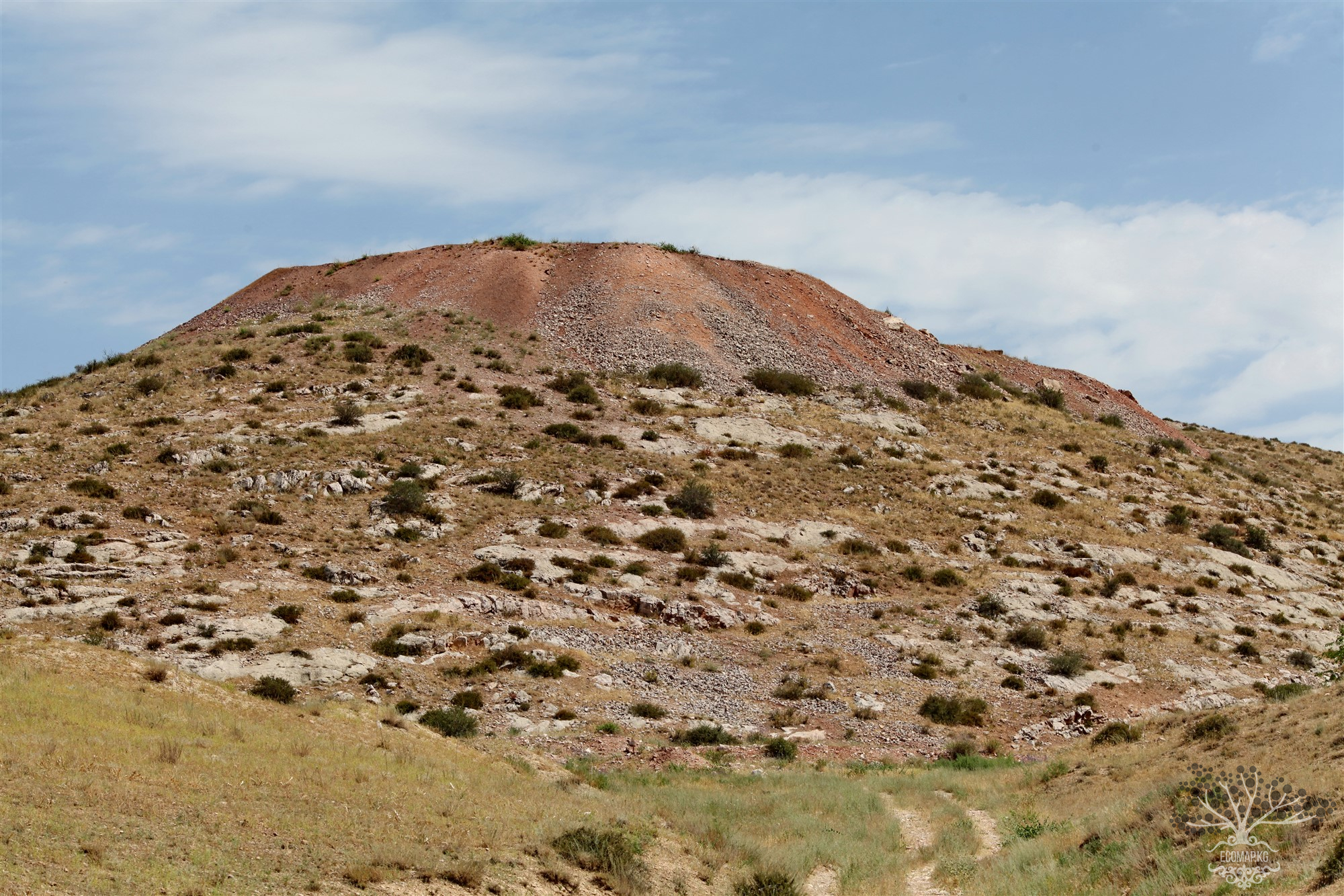
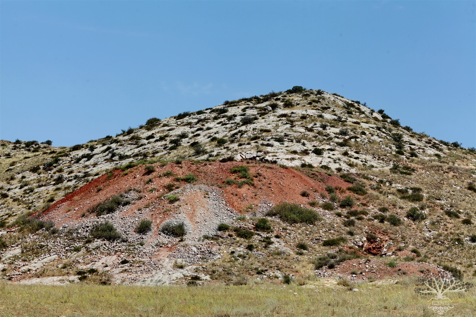
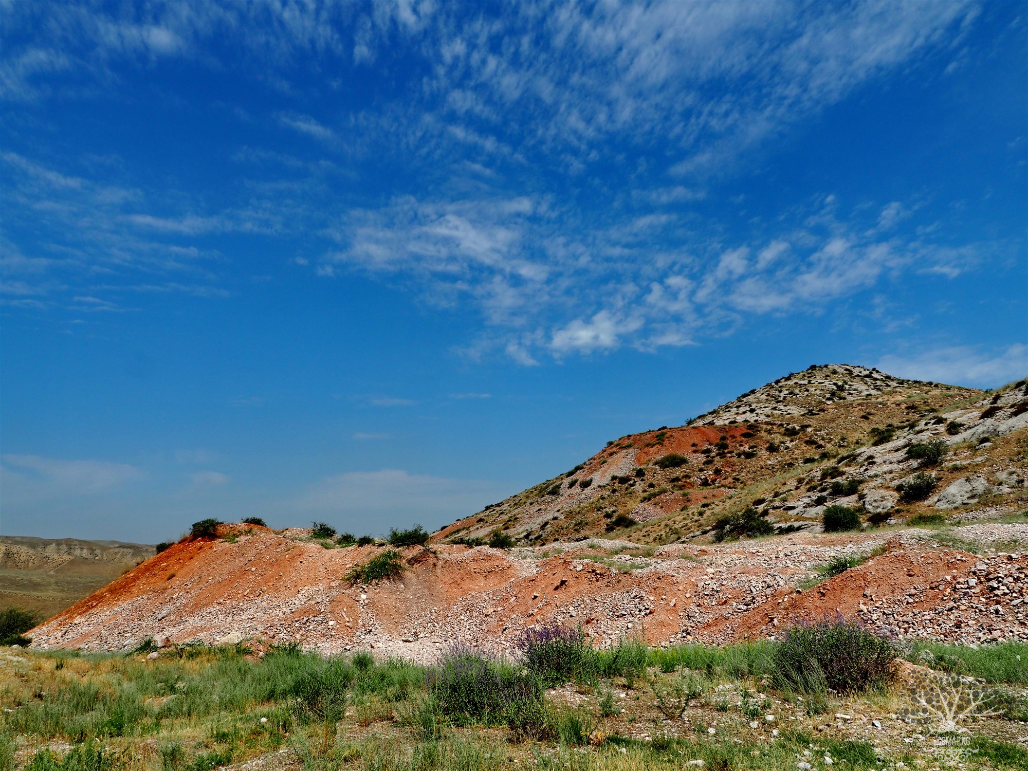
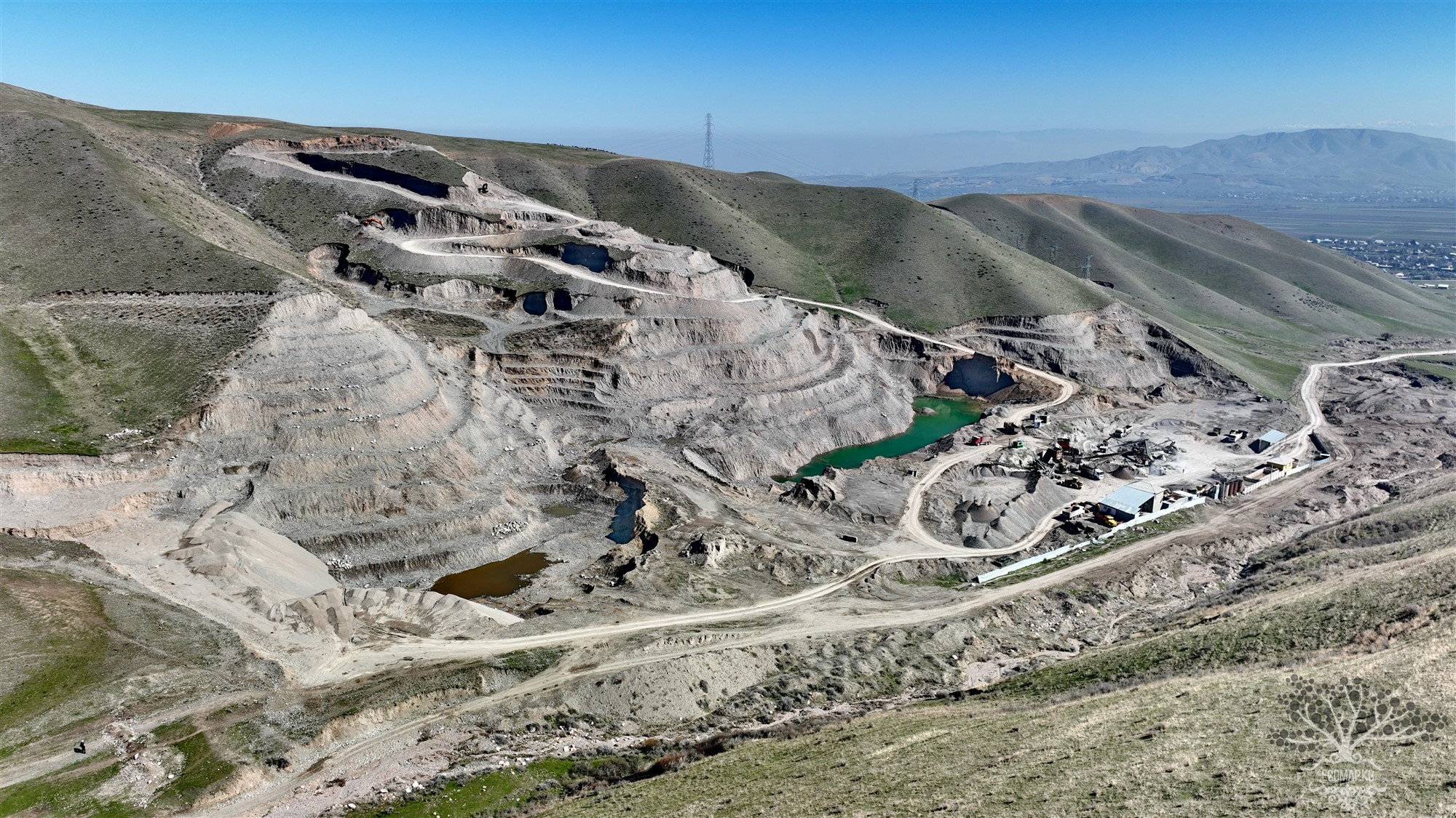
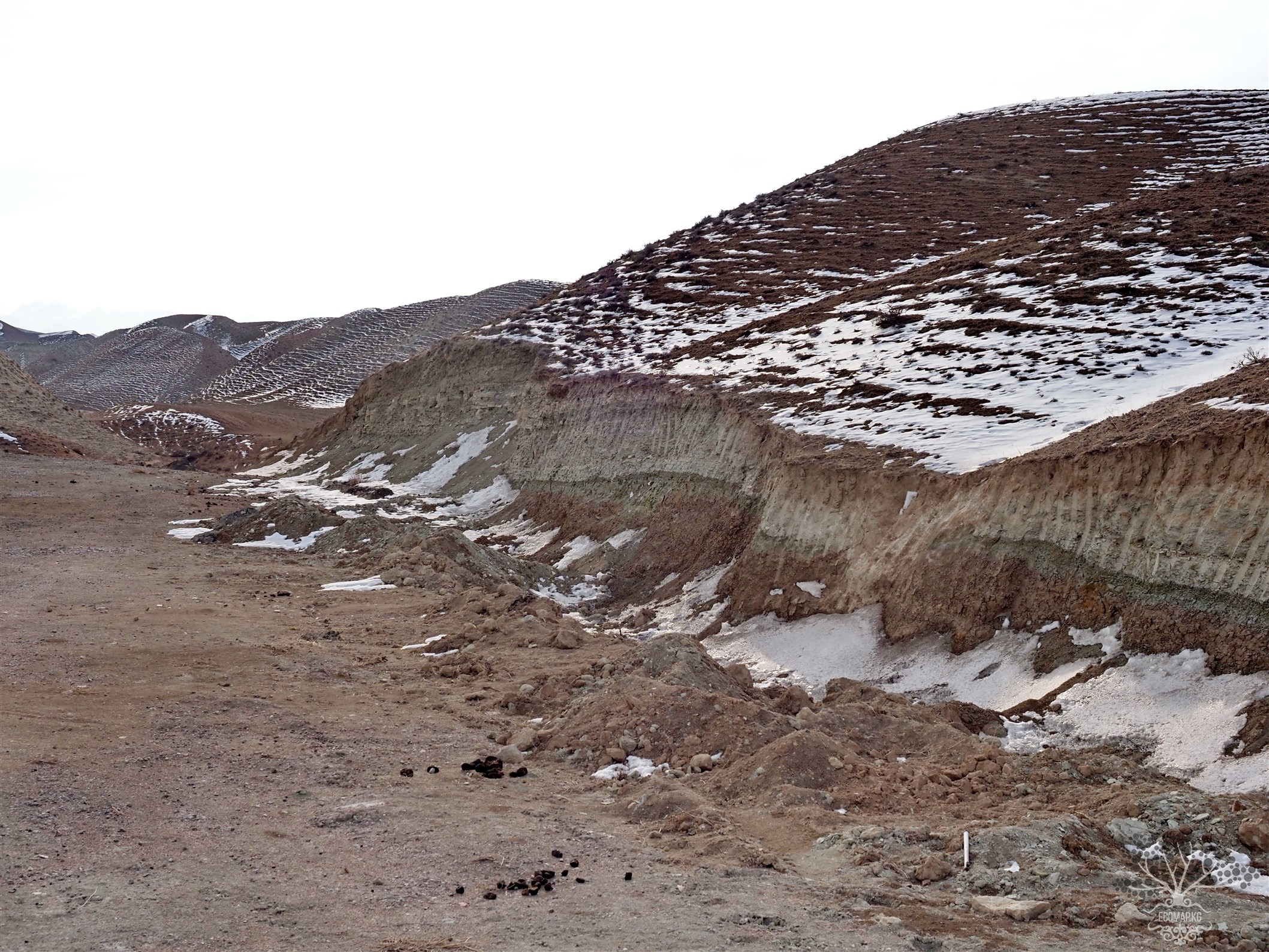
For many years, the radiation situation in the area of the former radium mine has been monitored by the radiological laboratory of the Osh regional sanitary-epidemiological station. The condition of the rock dumps is checked annually to prevent their use for construction purposes: the gamma background above the dumps is elevated, ranging from 80 to 150 µR/h, and individual samples of ore-bearing rock give up to 500 µR/h at the surface. Measurements are regularly taken with the geological exploration radiometer SRP-68, which undergoes state calibration annually. Local authorities are regularly given recommendations and directives about the necessity of closing all entrances to the Tuyamuyun mine structures, isolating the dumps, and warning local residents and tourists about the radiation hazards in the area.
Radiochemical analyses of water flowing from the drainage adit of the former mine located at the entrance to the Aravan-Sai gorge and water from the river sampled upstream and downstream of the mine showed no uranium contamination. Measurements of the radioactive gas radon, a decay product of radium, were taken in the water and in the adits of the former mine using the SG-1M electrometer. There is no radon in the water, but its concentration in the air of the adits is elevated, ranging from 2x10^-10 Ci/L to 5x10^-10 Ci/L (7-19 Bq/L) (PDU=0.1 Bq/L). Thus, the main danger to people in the area of the former mine today comes from the open entrances to the mine structures and the unsealed dumps of rock. And until these issues are resolved, we cannot forget about the former Tuyamuyun radium mine and its history.
The aforementioned objects "represent serious risks to the environment and public health, including physical risks to people or animals and radiological and toxicological risks associated with living in close proximity to contaminated materials remaining on the sites.
The research was conducted with the support of the Global Greengrants Fund (GGF), one of the leading donor organizations in the world supporting the efforts of ordinary people to protect the planet Earth.
#GlobalGreengrantsFund #GreengrantsFund #Greengrants #GGF #GlobalGreengrantsFund
#GlobalGreengrantsFund #GreengrantsFund #Greengrants #GGF #GlobalGreengrantsFund


Attention: Information based on submitted complaints